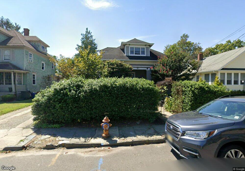
304 Liberty St Long Branch, NJ 07740
Estimated Value: $648,000 - $769,000
5
Beds
3
Baths
2,339
Sq Ft
$298/Sq Ft
Est. Value
About This Home
This home is located at 304 Liberty St, Long Branch, NJ 07740 and is currently estimated at $697,757, approximately $298 per square foot. 304 Liberty St is a home located in Monmouth County with nearby schools including Long Branch High School and Holy Trinity School.
Ownership History
Date
Name
Owned For
Owner Type
Purchase Details
Closed on
Feb 26, 2002
Sold by
Limerick Land Co
Bought by
Sullivan Mark and Sullivan Tara
Current Estimated Value
Home Financials for this Owner
Home Financials are based on the most recent Mortgage that was taken out on this home.
Original Mortgage
$164,000
Interest Rate
6.92%
Purchase Details
Closed on
Dec 4, 2001
Sold by
Carran Land Co
Bought by
Limerick Land Co Llc
Purchase Details
Closed on
May 30, 2000
Sold by
Jenkins Mossie
Bought by
Carran Land Co
Create a Home Valuation Report for This Property
The Home Valuation Report is an in-depth analysis detailing your home's value as well as a comparison with similar homes in the area
Home Values in the Area
Average Home Value in this Area
Purchase History
| Date | Buyer | Sale Price | Title Company |
|---|---|---|---|
| Sullivan Mark | $205,000 | -- | |
| Limerick Land Co Llc | $87,000 | -- | |
| Carran Land Co | $87,000 | -- |
Source: Public Records
Mortgage History
| Date | Status | Borrower | Loan Amount |
|---|---|---|---|
| Previous Owner | Sullivan Mark | $164,000 |
Source: Public Records
Tax History Compared to Growth
Tax History
| Year | Tax Paid | Tax Assessment Tax Assessment Total Assessment is a certain percentage of the fair market value that is determined by local assessors to be the total taxable value of land and additions on the property. | Land | Improvement |
|---|---|---|---|---|
| 2025 | $8,426 | $582,400 | $256,000 | $326,400 |
| 2024 | $7,672 | $548,200 | $236,000 | $312,200 |
| 2023 | $7,672 | $494,000 | $196,000 | $298,000 |
| 2022 | $6,574 | $405,100 | $142,500 | $262,600 |
| 2021 | $6,574 | $353,000 | $107,500 | $245,500 |
| 2020 | $7,077 | $338,600 | $94,500 | $244,100 |
| 2019 | $6,796 | $323,300 | $90,500 | $232,800 |
| 2018 | $6,610 | $312,700 | $88,500 | $224,200 |
| 2017 | $6,960 | $337,700 | $86,500 | $251,200 |
| 2016 | $6,916 | $342,200 | $97,500 | $244,700 |
| 2015 | $6,224 | $279,500 | $74,600 | $204,900 |
| 2014 | $5,864 | $277,500 | $93,700 | $183,800 |
Source: Public Records
Map
Nearby Homes
- 211 Rockwell Ave
- 323 Florence Ave
- 188 Chelton Ave
- 392 Florence Ave
- 184 N 5th Ave
- 172 Chelton Ave
- 151 N 5th Ave
- 40 University Dr
- 190 Spruce St Unit 4
- 148 Sixth Ave
- 231 Long Branch Ave
- 154 Atlantic Ave
- 164 Airsdale Ave
- 138 Rosewood Ave
- 401 Joline Ave
- 381 Long Branch Ave
- 28 Patten Ln
- 165 Kingsley St
- 222 Coleman Ave
- 40 Seaview Ave Unit A
- 308 Liberty St
- 300 Liberty St
- 233 Vanderveer Place
- 312 Liberty St
- 232 Allen Place
- 298 Liberty St
- 235 Vanderveer Place
- 234 Allen Place
- 236 Allen Place
- 237 Vanderveer Place
- 311 Liberty St
- 240 Allen Place
- 239 Vanderveer Place
- 322 Liberty St
- 293 Liberty St Unit 6
- 321 Liberty St
- 228 Vanderveer Place
- 244 Allen Place
- 282 Liberty St
- 231 Allen Place