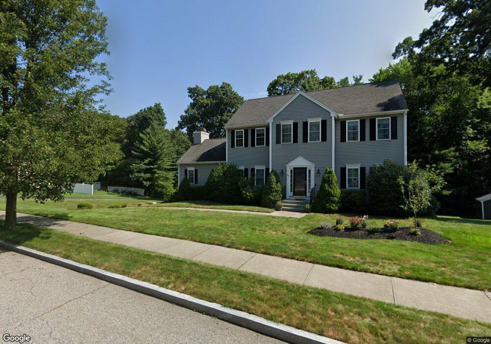
304 Lincoln Cir Northbridge, MA 01534
Estimated Value: $791,038 - $873,000
4
Beds
3
Baths
2,930
Sq Ft
$286/Sq Ft
Est. Value
About This Home
This home is located at 304 Lincoln Cir, Northbridge, MA 01534 and is currently estimated at $838,010, approximately $286 per square foot. 304 Lincoln Cir is a home located in Worcester County with nearby schools including Northbridge Elementary School, Northbridge Middle School, and Northbridge High School.
Ownership History
Date
Name
Owned For
Owner Type
Purchase Details
Closed on
Oct 15, 2004
Sold by
Presidential Farms Inc
Bought by
Wiehn Alaina and Wiehn Kevin
Current Estimated Value
Home Financials for this Owner
Home Financials are based on the most recent Mortgage that was taken out on this home.
Original Mortgage
$402,500
Interest Rate
5.8%
Mortgage Type
Purchase Money Mortgage
Create a Home Valuation Report for This Property
The Home Valuation Report is an in-depth analysis detailing your home's value as well as a comparison with similar homes in the area
Home Values in the Area
Average Home Value in this Area
Purchase History
| Date | Buyer | Sale Price | Title Company |
|---|---|---|---|
| Wiehn Alaina | $503,474 | -- | |
| Wiehn Alaina | $503,474 | -- |
Source: Public Records
Mortgage History
| Date | Status | Borrower | Loan Amount |
|---|---|---|---|
| Open | Wiehn Alaina | $368,000 | |
| Closed | Wiehn Alaina | $402,500 |
Source: Public Records
Tax History Compared to Growth
Tax History
| Year | Tax Paid | Tax Assessment Tax Assessment Total Assessment is a certain percentage of the fair market value that is determined by local assessors to be the total taxable value of land and additions on the property. | Land | Improvement |
|---|---|---|---|---|
| 2025 | $7,876 | $668,000 | $198,400 | $469,600 |
| 2024 | $7,631 | $631,200 | $198,400 | $432,800 |
| 2023 | $7,313 | $564,300 | $175,500 | $388,800 |
| 2022 | $6,940 | $504,000 | $135,000 | $369,000 |
| 2021 | $7,023 | $484,700 | $128,500 | $356,200 |
| 2020 | $6,488 | $468,800 | $128,500 | $340,300 |
| 2019 | $5,822 | $448,900 | $128,500 | $320,400 |
| 2018 | $5,572 | $430,600 | $122,200 | $308,400 |
| 2017 | $5,504 | $406,800 | $122,200 | $284,600 |
| 2016 | $5,578 | $405,700 | $116,000 | $289,700 |
| 2015 | $5,428 | $405,700 | $116,000 | $289,700 |
| 2014 | $5,380 | $405,700 | $116,000 | $289,700 |
Source: Public Records
Map
Nearby Homes
- 150 Sprague St
- 102 Kennedy Cir
- 614-616 Sutton St
- 86 Mikes Way Unit 86
- 84 Mikes Way Unit 84
- 395 Providence Rd Unit 4
- 104 Alana Dr
- 25 Poplar St
- 19 Milford Rd
- 191 Hartness Rd
- 12 Central Turnpike
- 7 Central Turnpike
- 2 Lindsey Ln Unit 2
- 331 Cooper Rd
- 4 Greenlawn Ave
- 9 Brookside Dr
- 151 Fowler Rd
- 2248 Providence Rd
- 55 Fisherville Terrace
- 44 Fisherville Terrace
- 336 Lincoln Cir
- 295 Lincoln Cir
- 317 Lincoln Cir
- 320 Lincoln Cir
- 250 Lincoln Cir
- 232 Washington St
- 358 Lincoln Cir
- 345 Lincoln Cir
- 181 Washington St
- 237 Lincoln Cir
- 224 Lincoln Cir
- 573 Roosevelt Dr
- 376 Lincoln Cir
- 203 Lincoln Cir
- 155 Washington St
- 365 Lincoln Cir
- 180 Washington St
- 565 Roosevelt Dr
- 373 Lincoln Cir
- 391 Lincoln Cir