304 Mt Pleasant Dr Locust Grove, VA 22508
Estimated Value: $451,000 - $772,000
3
Beds
2
Baths
1,232
Sq Ft
$500/Sq Ft
Est. Value
About This Home
This home is located at 304 Mt Pleasant Dr, Locust Grove, VA 22508 and is currently estimated at $616,592, approximately $500 per square foot. 304 Mt Pleasant Dr is a home located in Orange County with nearby schools including Locust Grove Primary School, Locust Grove Elementary School, and Locust Grove Middle School.
Ownership History
Date
Name
Owned For
Owner Type
Purchase Details
Closed on
Jul 15, 2019
Sold by
Busey Robert D and Busey Lorraine C
Bought by
Watson James K and Watson Patricia L
Current Estimated Value
Home Financials for this Owner
Home Financials are based on the most recent Mortgage that was taken out on this home.
Original Mortgage
$341,250
Outstanding Balance
$297,679
Interest Rate
3.82%
Mortgage Type
New Conventional
Estimated Equity
$318,913
Purchase Details
Closed on
Oct 20, 2010
Sold by
Lyon Robert P and Lyon Sharon K
Bought by
Busey Robert D and Busey Lorraine C
Create a Home Valuation Report for This Property
The Home Valuation Report is an in-depth analysis detailing your home's value as well as a comparison with similar homes in the area
Home Values in the Area
Average Home Value in this Area
Purchase History
| Date | Buyer | Sale Price | Title Company |
|---|---|---|---|
| Watson James K | $455,000 | First American Title Ins Co | |
| Busey Robert D | $330,400 | Commonwealth Land Title Insu |
Source: Public Records
Mortgage History
| Date | Status | Borrower | Loan Amount |
|---|---|---|---|
| Open | Watson James K | $341,250 |
Source: Public Records
Tax History Compared to Growth
Tax History
| Year | Tax Paid | Tax Assessment Tax Assessment Total Assessment is a certain percentage of the fair market value that is determined by local assessors to be the total taxable value of land and additions on the property. | Land | Improvement |
|---|---|---|---|---|
| 2025 | $3,121 | $408,800 | $260,000 | $148,800 |
| 2024 | $3,121 | $408,800 | $260,000 | $148,800 |
| 2023 | $3,121 | $408,800 | $260,000 | $148,800 |
| 2022 | $3,121 | $408,800 | $260,000 | $148,800 |
| 2021 | $2,996 | $416,100 | $260,000 | $156,100 |
| 2020 | $2,996 | $416,100 | $260,000 | $156,100 |
| 2019 | $3,030 | $376,900 | $260,000 | $116,900 |
| 2018 | $3,030 | $376,900 | $260,000 | $116,900 |
| 2017 | $3,030 | $376,900 | $260,000 | $116,900 |
| 2016 | $3,030 | $376,900 | $260,000 | $116,900 |
| 2015 | -- | $374,800 | $260,000 | $114,800 |
| 2014 | -- | $374,800 | $260,000 | $114,800 |
Source: Public Records
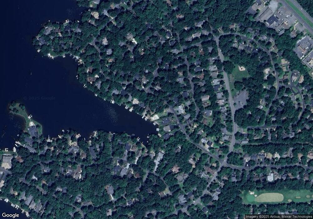
Map
Nearby Homes
- 303 Mt Pleasant Dr
- 112 Edgehill Dr
- 4301 Lakeview Pkwy
- 4239 Lakeview Pkwy
- 227 Beachside Cove
- 314 Fairway Dr
- 535 Mt Pleasant Dr
- 4202 Lakeview Pkwy
- 210 Skyline Rd
- 205 Skyline Rd
- 4105 Lakeview Pkwy
- 117 Green St
- 616 Mt Pleasant Dr
- 119 Birchside Cir
- 141 Green St
- 105 Chesterfield Ct
- 104 Appleview Ct
- 117 Eagle Ct
- 120 Eagle Ct
- 106 Cumberland Cir
- 300 Mt Pleasant Dr
- 222 Mt Pleasant Dr
- 305 Mt Pleasant Dr
- 308 Mt Pleasant Dr
- 307 Mt Pleasant Dr
- 0 Green St
- 303 Mount Pleasant Dr
- 220 Mt Pleasant Dr
- 0 Flintlock Ct
- 309 Mt Pleasant Dr
- 310 Mt Pleasant Dr
- 301 Mt Pleasant Dr
- 218 Mt Pleasant Dr
- 102 Flintlock Ct
- 219 Mount Pleasant Dr
- 101 Flintlock Ct
- 101 Wilderness Dr
- 312 Mt Pleasant Dr
- 107 Wilderness Dr
- 109 Wilderness Dr