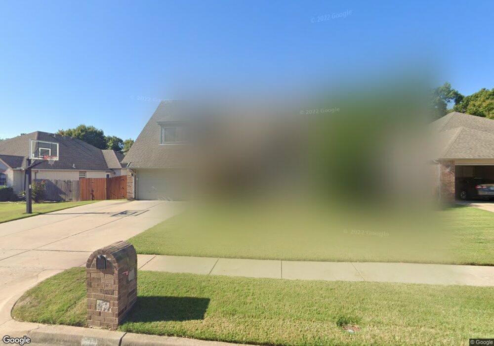
304 N Butternut Ave Broken Arrow, OK 74012
Country Aire Estates NeighborhoodEstimated Value: $356,518 - $387,000
4
Beds
3
Baths
2,726
Sq Ft
$135/Sq Ft
Est. Value
About This Home
This home is located at 304 N Butternut Ave, Broken Arrow, OK 74012 and is currently estimated at $368,880, approximately $135 per square foot. 304 N Butternut Ave is a home located in Tulsa County with nearby schools including Marshall T. Moore Elementary School, Union 8th Grade Center, and Union 6th-7th Grade Center.
Ownership History
Date
Name
Owned For
Owner Type
Purchase Details
Closed on
Jul 21, 2015
Sold by
Neal Amy E O
Bought by
Neal James E O
Current Estimated Value
Purchase Details
Closed on
Jun 20, 2008
Sold by
Phillips Michael and Phillips Debbie K
Bought by
Oneal James E
Home Financials for this Owner
Home Financials are based on the most recent Mortgage that was taken out on this home.
Original Mortgage
$171,200
Outstanding Balance
$109,521
Interest Rate
5.99%
Mortgage Type
Unknown
Estimated Equity
$259,359
Purchase Details
Closed on
Apr 20, 2000
Sold by
David Gibson Inc
Bought by
Phillips Michael and Phillips Debbie K
Home Financials for this Owner
Home Financials are based on the most recent Mortgage that was taken out on this home.
Original Mortgage
$142,800
Interest Rate
8.24%
Mortgage Type
Purchase Money Mortgage
Create a Home Valuation Report for This Property
The Home Valuation Report is an in-depth analysis detailing your home's value as well as a comparison with similar homes in the area
Home Values in the Area
Average Home Value in this Area
Purchase History
| Date | Buyer | Sale Price | Title Company |
|---|---|---|---|
| Neal James E O | -- | None Available | |
| Oneal James E | $214,000 | First American Title & Abstr | |
| Phillips Michael | $178,500 | Meridian Title & Closings In |
Source: Public Records
Mortgage History
| Date | Status | Borrower | Loan Amount |
|---|---|---|---|
| Open | Oneal James E | $171,200 | |
| Previous Owner | Phillips Michael | $142,800 |
Source: Public Records
Tax History Compared to Growth
Tax History
| Year | Tax Paid | Tax Assessment Tax Assessment Total Assessment is a certain percentage of the fair market value that is determined by local assessors to be the total taxable value of land and additions on the property. | Land | Improvement |
|---|---|---|---|---|
| 2024 | $3,349 | $27,250 | $3,360 | $23,890 |
| 2023 | $3,349 | $25,953 | $3,199 | $22,754 |
| 2022 | $3,217 | $24,718 | $4,274 | $20,444 |
| 2021 | $3,073 | $23,540 | $4,070 | $19,470 |
| 2020 | $3,093 | $23,540 | $4,070 | $19,470 |
| 2019 | $3,088 | $23,540 | $4,070 | $19,470 |
| 2018 | $3,079 | $23,540 | $4,070 | $19,470 |
| 2017 | $3,120 | $23,540 | $4,070 | $19,470 |
| 2016 | $3,079 | $23,540 | $4,070 | $19,470 |
| 2015 | $3,081 | $23,540 | $4,070 | $19,470 |
| 2014 | $3,063 | $23,540 | $4,070 | $19,470 |
Source: Public Records
Map
Nearby Homes
- 4408 W Elgin St
- 4400 W Freeport Cir
- 4501 W Hartford St
- 4932 W Commercial St
- 4201 W Detroit St
- 10942 E 76th St
- 708 N Aster Ave
- 418 S Butternut Ave
- 905 N Butternut Ave
- 910 N Butternut Ct
- 0 W Houston St Unit 2538461
- 1109 N Cypress Ave
- 2416 W Lansing Place
- 3812 W El Paso St
- 808 S Butternut Ave
- 4419 W Madison St
- 10623 E 74th St
- 3843 W Galveston Place
- 409 N Palm Ave
- 6514 E 74th St S
- 308 N Butternut Ave
- 300 N Butternut Ave
- 312 N Butternut Ave
- 224 N Butternut Ave
- 4513 W Detroit Place
- 4516 W Detroit St
- 316 N Butternut Ave
- 220 N Butternut Ave
- 4507 W Detroit Place
- 4512 W Detroit St
- 315 N Butternut Ave
- 320 N Butternut Ave
- 219 N Butternut Ave
- 216 N Butternut Ave
- 4503 W Detroit Place
- 4508 W Detroit St
- 215 N Butternut Ave
- 319 N Butternut Ave
- 324 N Butternut Ave
- 4423 W Detroit Place
