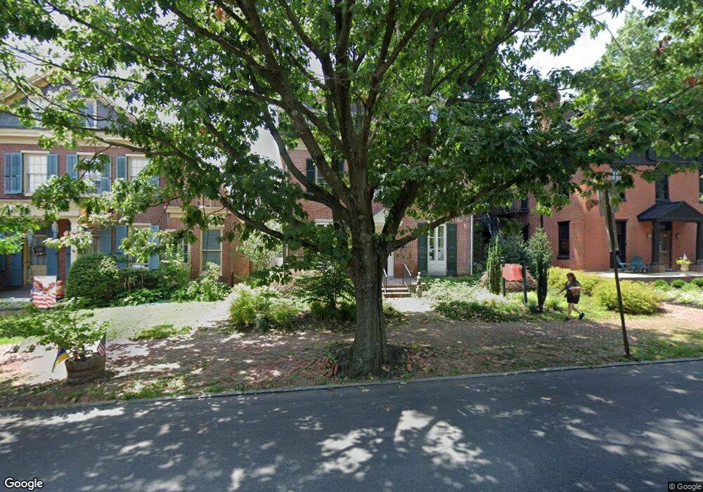
304 N High St West Chester, PA 19380
Estimated Value: $1,290,096
--
Bed
--
Bath
8,646
Sq Ft
$149/Sq Ft
Est. Value
About This Home
This home is located at 304 N High St, West Chester, PA 19380 and is currently estimated at $1,290,096, approximately $149 per square foot. 304 N High St is a home located in Chester County with nearby schools including Penn Wood Elementary School, Stetson Middle School, and Bayard Rustin High School.
Ownership History
Date
Name
Owned For
Owner Type
Purchase Details
Closed on
Aug 11, 2011
Sold by
Nagle C Barry Buckley and Nagle Ronald C
Bought by
Joshsam Properties Llc
Current Estimated Value
Home Financials for this Owner
Home Financials are based on the most recent Mortgage that was taken out on this home.
Original Mortgage
$525,000
Outstanding Balance
$364,349
Interest Rate
4.62%
Mortgage Type
Future Advance Clause Open End Mortgage
Estimated Equity
$925,747
Create a Home Valuation Report for This Property
The Home Valuation Report is an in-depth analysis detailing your home's value as well as a comparison with similar homes in the area
Home Values in the Area
Average Home Value in this Area
Purchase History
| Date | Buyer | Sale Price | Title Company |
|---|---|---|---|
| Joshsam Properties Llc | $675,000 | None Available |
Source: Public Records
Mortgage History
| Date | Status | Borrower | Loan Amount |
|---|---|---|---|
| Open | Joshsam Properties Llc | $525,000 |
Source: Public Records
Tax History Compared to Growth
Tax History
| Year | Tax Paid | Tax Assessment Tax Assessment Total Assessment is a certain percentage of the fair market value that is determined by local assessors to be the total taxable value of land and additions on the property. | Land | Improvement |
|---|---|---|---|---|
| 2025 | $13,872 | $395,480 | $70,160 | $325,320 |
| 2024 | $13,872 | $395,480 | $70,160 | $325,320 |
| 2023 | $13,718 | $395,480 | $70,160 | $325,320 |
| 2022 | $13,569 | $395,480 | $70,160 | $325,320 |
| 2021 | $13,293 | $395,480 | $70,160 | $325,320 |
| 2020 | $13,047 | $395,480 | $70,160 | $325,320 |
| 2019 | $12,893 | $395,480 | $70,160 | $325,320 |
| 2018 | $12,661 | $395,480 | $70,160 | $325,320 |
| 2017 | $12,429 | $395,480 | $70,160 | $325,320 |
| 2016 | $8,829 | $395,480 | $70,160 | $325,320 |
| 2015 | $8,829 | $395,480 | $70,160 | $325,320 |
| 2014 | $8,829 | $395,480 | $70,160 | $325,320 |
Source: Public Records
Map
Nearby Homes
- 532 N Walnut St
- 303 W Washington St
- 204 Ford Cir
- 347 E Biddle St
- 626 N Matlack St
- 333 Hannum Ave
- 145 E Miner St
- 110 S High St
- 110 S Matlack St
- 112 S Matlack St
- 19 S New St
- 418 Hannum Ave
- 314 Mayfield Ave
- 433 W Gay St
- 443 W Gay St
- 110 S Adams St
- 303 S Church St
- 305 S Walnut St
- 122 W Union St
- 506 Raymond Dr Unit 4
- 304 N High St Unit 3
- 304 N High St Unit 2
- 304 N High St Unit 1
- 310 N High St
- 310 N High St
- 312 N High St
- 320 N High St
- 311 N High St
- 322 N High St
- 328 N High St
- 313 N High St
- 21 W Washington St
- 303 N High St
- 303 N High St Unit 2
- 235 N Church St
- 319 N High St
- 233 N Church St
- 231 N Church St
- 229 N High St
- 229 N High St Unit 2 (8 E. WASHINGTON)