Estimated Value: $149,000 - $215,000
4
Beds
2
Baths
2,590
Sq Ft
$68/Sq Ft
Est. Value
About This Home
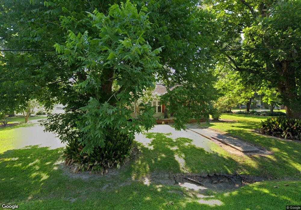
This home is located at 304 N Joseph St, Welsh, LA 70591 and is currently estimated at $176,244, approximately $68 per square foot. 304 N Joseph St is a home located in Jefferson Davis Parish with nearby schools including Welsh Elementary School, Welsh-Roanoke Junior High School, and Welsh High School.
Ownership History
Date
Name
Owned For
Owner Type
Purchase Details
Closed on
Mar 1, 2005
Sold by
Lafosse Shirley and Lafosse Sandra A
Bought by
Petree Ronald W
Current Estimated Value
Home Financials for this Owner
Home Financials are based on the most recent Mortgage that was taken out on this home.
Original Mortgage
$125,750
Outstanding Balance
$61,842
Interest Rate
5.77%
Mortgage Type
Unknown
Estimated Equity
$114,402
Create a Home Valuation Report for This Property
The Home Valuation Report is an in-depth analysis detailing your home's value as well as a comparison with similar homes in the area
Home Values in the Area
Average Home Value in this Area
Purchase History
| Date | Buyer | Sale Price | Title Company |
|---|---|---|---|
| Petree Ronald W | $109,573 | None Available |
Source: Public Records
Mortgage History
| Date | Status | Borrower | Loan Amount |
|---|---|---|---|
| Open | Petree Ronald W | $125,750 |
Source: Public Records
Tax History
| Year | Tax Paid | Tax Assessment Tax Assessment Total Assessment is a certain percentage of the fair market value that is determined by local assessors to be the total taxable value of land and additions on the property. | Land | Improvement |
|---|---|---|---|---|
| 2025 | $1,219 | $14,250 | $1,600 | $12,650 |
| 2024 | $1,214 | $14,250 | $1,600 | $12,650 |
| 2023 | $942 | $12,600 | $1,600 | $11,000 |
| 2022 | $432 | $12,600 | $1,600 | $11,000 |
| 2021 | $942 | $12,600 | $1,600 | $11,000 |
| 2020 | $941 | $12,600 | $1,600 | $11,000 |
| 2019 | $959 | $12,600 | $2,100 | $10,500 |
| 2018 | $1,100 | $12,600 | $2,100 | $10,500 |
| 2017 | $1,101 | $12,600 | $2,100 | $10,500 |
| 2015 | $1,009 | $11,600 | $2,100 | $9,500 |
| 2014 | $1,010 | $11,600 | $2,100 | $9,500 |
| 2013 | $1,034 | $11,600 | $2,100 | $9,500 |
Source: Public Records
Map
Nearby Homes
- 560 Bowers St
- 311 Bourgeois St
- 507 Beaufort St
- 207 Powers St
- 17188 Highway 90 Unit Suite B
- 17180 Highway 90
- 0 Highway 90
- 501 S Polk St
- 406 W Hudspeth St
- 0 Grove St Unit SWL25002212
- 0 Grove St Unit SWL25002213
- 0 Grove St Unit SWL25002211
- 0 Grove St Unit SWL25002210
- 0 S Simmons St Unit SWL25002203
- 0 S Simmons St Unit SWL25002209
- 0 S Simmons St Unit SWL25002206
- 0 S Simmons St Unit SWL25002205
- 0 S Simmons St Unit SWL25002208
- 0 S Simmons St Unit SWL25002217
- 0 S Simmons St Unit SWL25002207
- 208 N Joseph St
- 710 Beaufort St
- 680 Beaufort St
- 206 N Joseph St
- 211 N Joseph St
- 712 Beaufort St
- 209 N Joseph St
- 204 N Joseph St
- 706 Beaufort St
- 705 Beaufort St
- 716 Beaufort St
- 637 Beaufort St
- 636 Beaufort St
- 202 N Joseph St
- 106 Mable
- 205 N Joseph St
- 106 Mabel St
- 718 Beaufort St
- 635 Beaufort St
- 412 N Joseph St
Your Personal Tour Guide
Ask me questions while you tour the home.