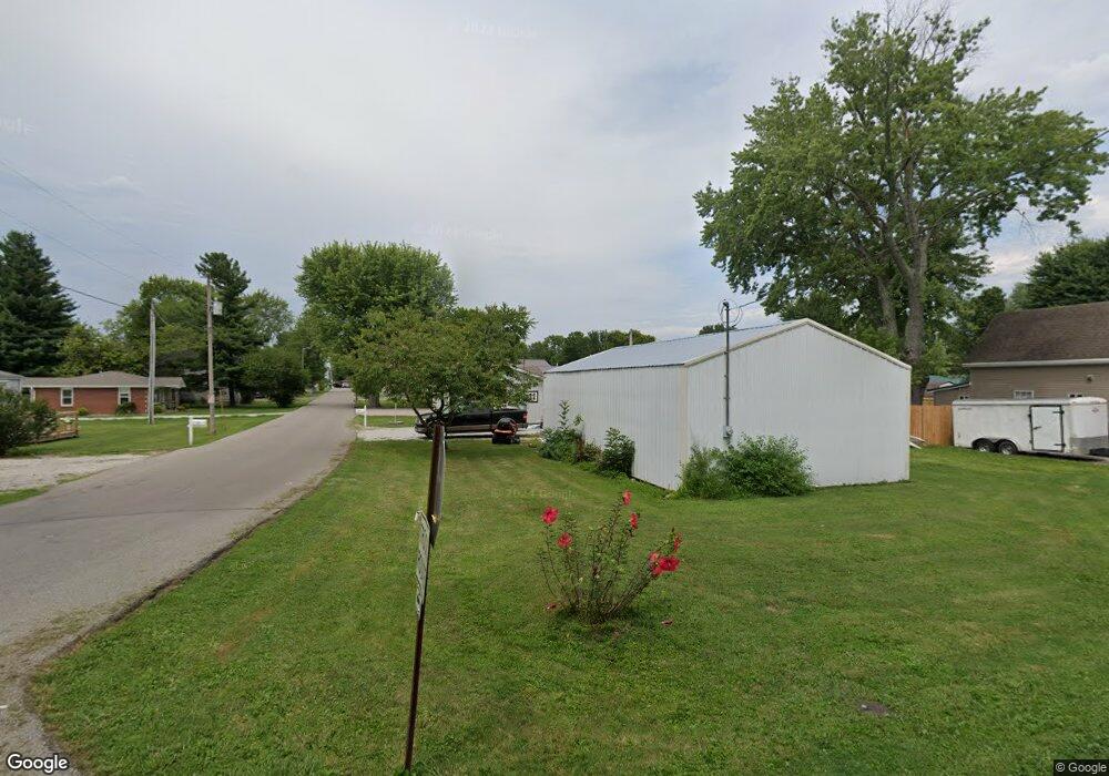
304 N Owens St Westport, IN 47283
Estimated Value: $114,000 - $189,000
2
Beds
2
Baths
1,272
Sq Ft
$117/Sq Ft
Est. Value
About This Home
This home is located at 304 N Owens St, Westport, IN 47283 and is currently estimated at $148,717, approximately $116 per square foot. 304 N Owens St is a home located in Decatur County with nearby schools including South Decatur Elementary School and South Decatur Junior/Senior High School.
Ownership History
Date
Name
Owned For
Owner Type
Purchase Details
Closed on
Jul 16, 2021
Sold by
Howard Mark A and Howard Deborah L
Bought by
Sexton Danny A and Sexton Lis M
Current Estimated Value
Home Financials for this Owner
Home Financials are based on the most recent Mortgage that was taken out on this home.
Original Mortgage
$61,200
Outstanding Balance
$46,799
Interest Rate
2.93%
Mortgage Type
New Conventional
Estimated Equity
$101,918
Purchase Details
Closed on
Nov 14, 2009
Sold by
Napoleon State Bank
Bought by
Howard Mark A and Howard Deborah L
Purchase Details
Closed on
Nov 4, 2009
Bought by
Mark Mark A and Mark Howard
Purchase Details
Closed on
Aug 18, 2009
Sold by
Sheriff Decatur County
Bought by
Napoleon State Bank
Create a Home Valuation Report for This Property
The Home Valuation Report is an in-depth analysis detailing your home's value as well as a comparison with similar homes in the area
Home Values in the Area
Average Home Value in this Area
Purchase History
| Date | Buyer | Sale Price | Title Company |
|---|---|---|---|
| Sexton Danny A | $72,000 | None Available | |
| Howard Mark A | -- | -- | |
| Mark Mark A | $51,000 | Napoleon State Bank | |
| Napoleon State Bank | $59,900 | -- |
Source: Public Records
Mortgage History
| Date | Status | Borrower | Loan Amount |
|---|---|---|---|
| Open | Sexton Danny A | $61,200 |
Source: Public Records
Tax History Compared to Growth
Tax History
| Year | Tax Paid | Tax Assessment Tax Assessment Total Assessment is a certain percentage of the fair market value that is determined by local assessors to be the total taxable value of land and additions on the property. | Land | Improvement |
|---|---|---|---|---|
| 2024 | $596 | $108,900 | $12,900 | $96,000 |
| 2023 | $581 | $99,200 | $12,900 | $86,300 |
| 2022 | $528 | $92,200 | $12,900 | $79,300 |
| 2021 | $486 | $79,000 | $12,900 | $66,100 |
| 2020 | $1,450 | $72,000 | $9,200 | $62,800 |
| 2019 | $1,310 | $64,800 | $9,200 | $55,600 |
| 2018 | $1,206 | $60,300 | $9,200 | $51,100 |
| 2017 | $1,105 | $57,900 | $9,200 | $48,700 |
| 2016 | $1,044 | $55,000 | $8,300 | $46,700 |
| 2014 | $1,011 | $53,700 | $8,300 | $45,400 |
| 2013 | -- | $51,900 | $8,300 | $43,600 |
Source: Public Records
Map
Nearby Homes
- 503 E Bennett St
- 506 E North St
- 508 Deer Run
- 217 E Sycamore St
- 107 W Main St
- 3852 W Co Road 1100 S
- 1017 W Main St
- 0 W Co Rd 1100 S
- 3058 W Co Road 1100 S
- 11182 S Co Road 280 W
- 6440 W County Road 1300 S
- 4281 W County Road 800 S
- 7962 S State Road 3
- 1816 W County Road 1000 S
- 6838 S Mill St
- 6255 E County Road 850 N
- 7530 N Base Rd
- 28 W Co Road 700 S
- 4944 S County Road 240 W
- 5766 S Co Road 20 W
- 604 E Bennett St
- 301 N Owens St
- 606 E Bennett St
- 506 E Bennett St
- 603 E Schott St
- 305 N Owens St
- 608 E Bennett St
- 607 E Schott St
- 607 E Bennett St
- 509 E Schott St
- 504 E Bennett St
- 609 E Schott St
- 602 E Schott St
- 505 E Schott St
- 304 N Maple St
- 302 N Cann St
- 701 E Bennett St
- 509 E Bennett St
- 304 N Cann St