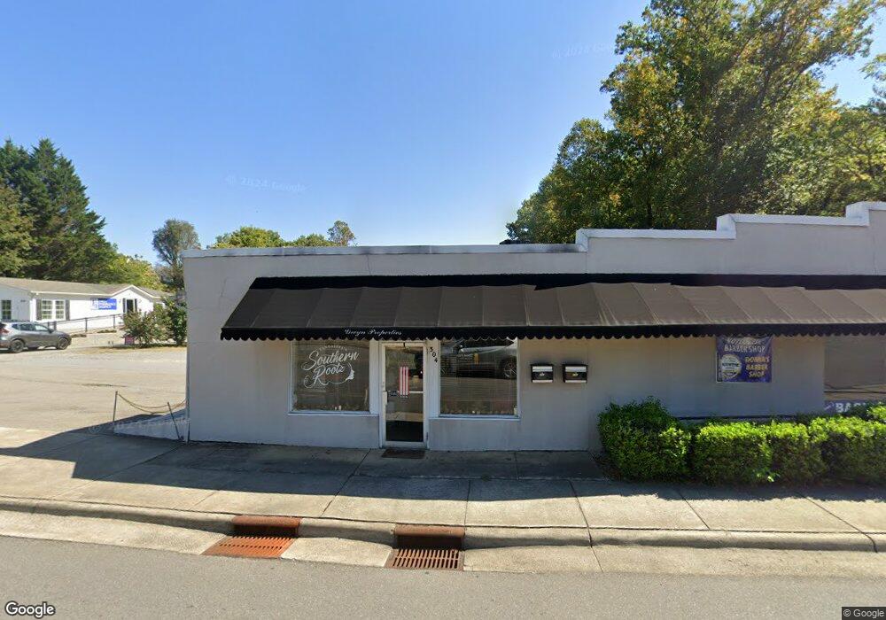
304 N Renfro St Mount Airy, NC 27030
--
Bed
--
Bath
1,210
Sq Ft
0.43
Acres
About This Home
This home is located at 304 N Renfro St, Mount Airy, NC 27030. 304 N Renfro St is a home located in Surry County with nearby schools including Bruce H. Tharrington Elementary School, Mount Airy Middle School, and Mount Airy High School.
Ownership History
Date
Name
Owned For
Owner Type
Purchase Details
Closed on
May 30, 2024
Sold by
Hiatt Donna Lynn and Frechette Roger
Bought by
Wagoner & Associates Holdings Llc
Home Financials for this Owner
Home Financials are based on the most recent Mortgage that was taken out on this home.
Original Mortgage
$172,000
Outstanding Balance
$169,687
Interest Rate
7.1%
Mortgage Type
New Conventional
Purchase Details
Closed on
Aug 1, 2002
Purchase Details
Closed on
Nov 1, 1990
Purchase Details
Closed on
Jan 1, 1975
Create a Home Valuation Report for This Property
The Home Valuation Report is an in-depth analysis detailing your home's value as well as a comparison with similar homes in the area
Home Values in the Area
Average Home Value in this Area
Purchase History
| Date | Buyer | Sale Price | Title Company |
|---|---|---|---|
| Wagoner & Associates Holdings Llc | $215,000 | None Listed On Document | |
| Wagoner & Associates Holdings Llc | $215,000 | None Listed On Document | |
| -- | $63,000 | -- | |
| -- | -- | -- | |
| -- | -- | -- |
Source: Public Records
Mortgage History
| Date | Status | Borrower | Loan Amount |
|---|---|---|---|
| Open | Wagoner & Associates Holdings Llc | $172,000 | |
| Closed | Wagoner & Associates Holdings Llc | $172,000 |
Source: Public Records
Tax History Compared to Growth
Tax History
| Year | Tax Paid | Tax Assessment Tax Assessment Total Assessment is a certain percentage of the fair market value that is determined by local assessors to be the total taxable value of land and additions on the property. | Land | Improvement |
|---|---|---|---|---|
| 2025 | $682 | $114,350 | $56,570 | $57,780 |
| 2024 | $665 | $151,880 | $53,950 | $97,930 |
| 2023 | $654 | $101,010 | $53,950 | $47,060 |
| 2022 | $654 | $101,010 | $53,950 | $47,060 |
| 2021 | $665 | $101,010 | $53,950 | $47,060 |
| 2020 | $702 | $101,460 | $53,950 | $47,510 |
| 2019 | $702 | $101,460 | $53,950 | $47,510 |
| 2018 | $690 | $101,460 | $0 | $0 |
| 2017 | $702 | $101,460 | $0 | $0 |
| 2016 | $692 | $101,460 | $0 | $0 |
| 2013 | -- | $101,460 | $0 | $0 |
Source: Public Records
Map
Nearby Homes
- 00 Carroll St
- 342 Moore Ave
- 165 Virginia St Unit 309
- 165 Virginia St Unit 206
- 607 N Main St
- 400 Cherry St
- 643 Willow St
- 241 Rockford St
- 411 Pippen St
- 415 Pippen St
- 311 E Lebanon St
- 455 Franklin St
- 1020 Frank St
- 214 Broad St
- 0 Woodruff St
- 220 Broad St
- 0 Woltz St
- 802 Spring St
- 921 N South St
- 722 Maiden Ln
- 339 E Oak St
- 351 E Oak St
- 312 E Independence Blvd Unit BVE
- 359 E Oak St
- 318 E Independence Blvd Unit BVE
- 301 Moore Ave
- 303 Junction St
- 326 E Independence Blvd Unit BVE
- 306 Junction St
- 307 Junction St
- 420 N Main St
- 135 Moore Ave
- 236 N Main St
- 332 E Independence Blvd Unit BVE
- 312 Junction St
- 0000 Franklin
- 235 E Independence Blvd
- 338 E Independence Blvd Unit BVE
- 206 N Main St
- 200 N Main St