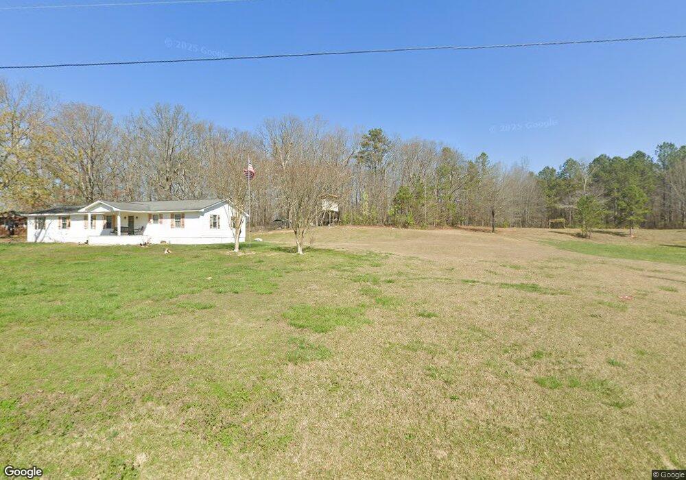
304 New Harmony Rd Cedartown, GA 30125
Estimated Value: $246,000 - $275,000
2
Beds
2
Baths
1,352
Sq Ft
$192/Sq Ft
Est. Value
About This Home
This home is located at 304 New Harmony Rd, Cedartown, GA 30125 and is currently estimated at $259,411, approximately $191 per square foot. 304 New Harmony Rd is a home located in Polk County with nearby schools including Cedar Christian School.
Ownership History
Date
Name
Owned For
Owner Type
Purchase Details
Closed on
Oct 16, 2008
Sold by
Arrington Allyn L
Bought by
Arrington Scott E and Arrington Allyn L
Current Estimated Value
Purchase Details
Closed on
Mar 12, 2002
Sold by
Arrington Herschel H Robert E Arrington
Bought by
Arrington Scott E and Arrington Allyn L
Purchase Details
Closed on
Nov 1, 2001
Sold by
Arrington Alma B
Bought by
Arrington Herschel H
Purchase Details
Closed on
Feb 24, 1999
Sold by
Arrington Alma B
Bought by
Arrington Herschel H Robert E Steve
Purchase Details
Closed on
May 4, 1993
Sold by
Arrington Scott E
Bought by
Arrington Homer F and Arringto Alma B
Create a Home Valuation Report for This Property
The Home Valuation Report is an in-depth analysis detailing your home's value as well as a comparison with similar homes in the area
Home Values in the Area
Average Home Value in this Area
Purchase History
| Date | Buyer | Sale Price | Title Company |
|---|---|---|---|
| Arrington Scott E | -- | -- | |
| Arrington Scott E | -- | -- | |
| Arrington Scott E | $62,700 | -- | |
| Arrington Herschel H | -- | -- | |
| Arrington Herschel H Robert E Steve | -- | -- | |
| Arrington Homer F | $1,500 | -- |
Source: Public Records
Tax History Compared to Growth
Tax History
| Year | Tax Paid | Tax Assessment Tax Assessment Total Assessment is a certain percentage of the fair market value that is determined by local assessors to be the total taxable value of land and additions on the property. | Land | Improvement |
|---|---|---|---|---|
| 2024 | $1,803 | $88,234 | $21,356 | $66,878 |
| 2023 | $1,507 | $65,520 | $21,356 | $44,164 |
| 2022 | $1,204 | $52,716 | $14,238 | $38,478 |
| 2021 | $1,219 | $52,716 | $14,238 | $38,478 |
| 2020 | $1,222 | $52,716 | $14,238 | $38,478 |
| 2019 | $1,221 | $47,459 | $14,238 | $33,221 |
| 2018 | $1,191 | $45,223 | $14,238 | $30,985 |
| 2017 | $1,176 | $45,223 | $14,238 | $30,985 |
| 2016 | $1,424 | $54,343 | $23,358 | $30,985 |
| 2015 | $1,435 | $54,570 | $23,358 | $31,212 |
| 2014 | $1,445 | $54,570 | $23,358 | $31,212 |
Source: Public Records
Map
Nearby Homes
- 323 Mountain Home Rd
- 0 Mountain Home Rd Unit 1020-B 10351940
- 0 Mountain Home Rd Unit 1020-C 10351948
- 0 Mountain Home Rd Unit 1020-A 10351930
- 148 Persons Rd
- 35 Harris Loop
- 1849 Prior Station Rd Unit 77.57 ACRES
- 1849 Prior Station Rd
- 0 Old Potash Rd Unit 7675402
- 0 Old Potash Rd Unit 10636176
- 382 5th St
- 293 4th St
- 119 Jackson St
- 00 Cornelius Rd
- 374 Seab Green Rd
- 39 Summerwind Dr
- 309 Walnut St
- 605 W Girard Ave
- 422 Walnut St
- 258 Chestnut St
- 1049 Prior Station Rd
- 1033 Prior Station Rd
- 250 New Harmony Rd
- 310 New Harmony Rd
- 1015 Prior Station Rd
- 1036 Prior Station Rd
- 285 New Harmony Rd
- 1107 Prior Station Rd
- 255 New Harmony Rd
- 1086 Prior Station Rd
- 987 Prior Station Rd
- 1102 Prior Station Rd
- 1018 Prior Station Rd
- 340 New Harmony Rd
- 224 New Harmony Rd
- 174 New Harmony Rd
- 972 Prior Station Rd
- 279 New Harmony Rd
- 191 New Harmony Rd
- 367 New Harmony Rd