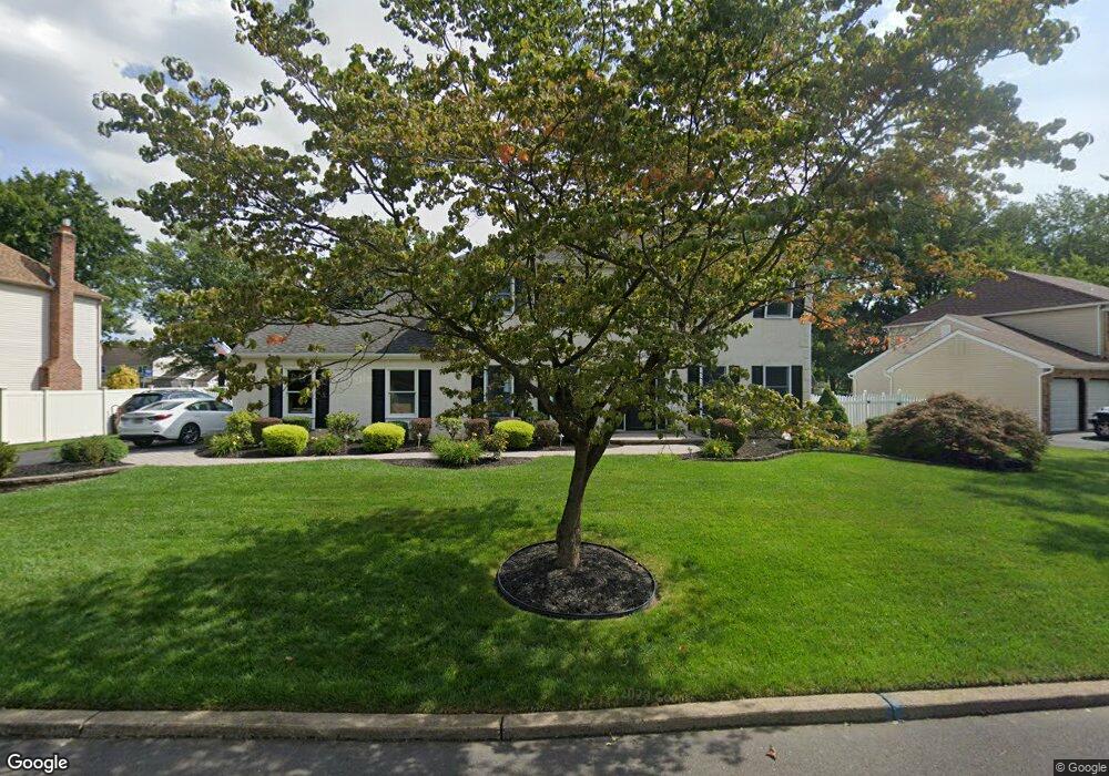
304 Newgate Rd Langhorne, PA 19047
Estimated Value: $764,000 - $865,000
4
Beds
3
Baths
2,866
Sq Ft
$284/Sq Ft
Est. Value
About This Home
This home is located at 304 Newgate Rd, Langhorne, PA 19047 and is currently estimated at $815,090, approximately $284 per square foot. 304 Newgate Rd is a home located in Bucks County with nearby schools including Pearl S. Buck Elementary School, Maple Point Middle School, and Neshaminy High School.
Ownership History
Date
Name
Owned For
Owner Type
Purchase Details
Closed on
Jan 15, 1999
Sold by
Deblasio Joseph A and Deblasio Josephine C
Bought by
Garrison Ii Joseph and Garrison Bethann
Current Estimated Value
Home Financials for this Owner
Home Financials are based on the most recent Mortgage that was taken out on this home.
Original Mortgage
$210,150
Outstanding Balance
$48,491
Interest Rate
6.7%
Estimated Equity
$766,599
Purchase Details
Closed on
Dec 3, 1985
Bought by
Deblasio Joseph A and Joseph Ine
Create a Home Valuation Report for This Property
The Home Valuation Report is an in-depth analysis detailing your home's value as well as a comparison with similar homes in the area
Home Values in the Area
Average Home Value in this Area
Purchase History
| Date | Buyer | Sale Price | Title Company |
|---|---|---|---|
| Garrison Ii Joseph | $233,500 | T A Title Insurance Company | |
| Deblasio Joseph A | $133,900 | -- |
Source: Public Records
Mortgage History
| Date | Status | Borrower | Loan Amount |
|---|---|---|---|
| Open | Garrison Ii Joseph | $210,150 |
Source: Public Records
Tax History Compared to Growth
Tax History
| Year | Tax Paid | Tax Assessment Tax Assessment Total Assessment is a certain percentage of the fair market value that is determined by local assessors to be the total taxable value of land and additions on the property. | Land | Improvement |
|---|---|---|---|---|
| 2025 | $9,579 | $44,000 | $6,720 | $37,280 |
| 2024 | $9,579 | $44,000 | $6,720 | $37,280 |
| 2023 | $9,427 | $44,000 | $6,720 | $37,280 |
| 2022 | $9,179 | $44,000 | $6,720 | $37,280 |
| 2021 | $9,179 | $44,000 | $6,720 | $37,280 |
| 2020 | $9,069 | $44,000 | $6,720 | $37,280 |
| 2019 | $8,867 | $44,000 | $6,720 | $37,280 |
| 2018 | $8,704 | $44,000 | $6,720 | $37,280 |
| 2017 | $8,482 | $44,000 | $6,720 | $37,280 |
| 2016 | $8,482 | $44,000 | $6,720 | $37,280 |
| 2015 | $8,671 | $44,000 | $6,720 | $37,280 |
| 2014 | $8,671 | $44,000 | $6,720 | $37,280 |
Source: Public Records
Map
Nearby Homes
- 624 Lollard Ct
- 770 Atkinson Ln
- 213 Sugarberry Ln Unit V20
- 1707 Lynbrooke Dr Unit 120
- 1102 Waterford Rd Unit 1
- 2908 Sterling Rd Unit 175
- 462 Scott Ct
- 2904 Sterling Rd Unit 179
- 14303 Cornerstone Dr
- 1988 Knight Cir
- 120 Shady Brook Dr Unit 89
- 9 Blue Flax Ln Unit 188
- 24 Tupelo Ln
- 1948 Satter Ct
- 8501 Spruce Mill Dr
- 313 Chestnut Ct
- 273 Shady Brook Dr Unit 243
- 15 Lady Slipper Ln Unit 426
- 7908 Spruce Mill Dr Unit 656
- 175 Shady Brook Dr Unit 122