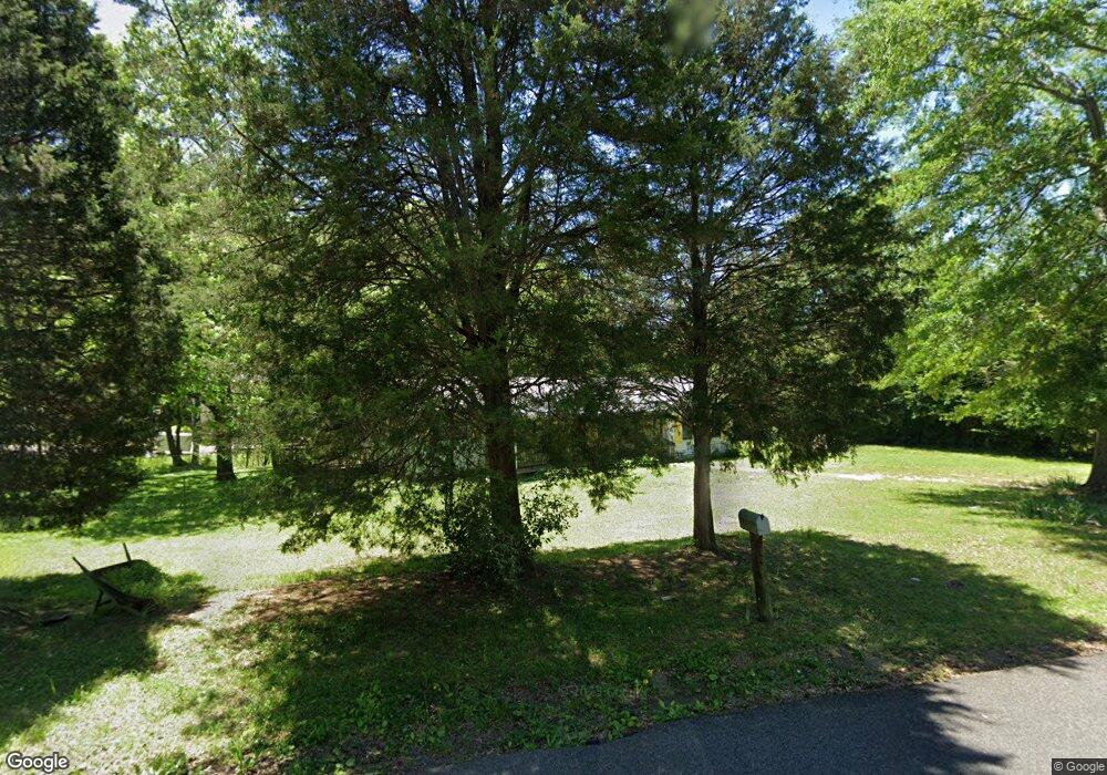
304 Pope Dr Bessemer, AL 35023
Estimated Value: $154,000 - $199,000
3
Beds
2
Baths
1,624
Sq Ft
$108/Sq Ft
Est. Value
About This Home
This home is located at 304 Pope Dr, Bessemer, AL 35023 and is currently estimated at $174,657, approximately $107 per square foot. 304 Pope Dr is a home located in Jefferson County with nearby schools including Hueytown Elementary School, Hueytown Primary School, and Hueytown Middle School.
Ownership History
Date
Name
Owned For
Owner Type
Purchase Details
Closed on
Jun 30, 2023
Sold by
Jefferson Cnty Fin'L Svcs Inc
Bought by
Guardian Tax Al Llc
Current Estimated Value
Purchase Details
Closed on
Jun 29, 2007
Sold by
Hud
Bought by
Borum Thomas H and Shaw Ronald
Home Financials for this Owner
Home Financials are based on the most recent Mortgage that was taken out on this home.
Original Mortgage
$68,000
Interest Rate
8.37%
Mortgage Type
Purchase Money Mortgage
Purchase Details
Closed on
Dec 3, 2003
Sold by
Stephenson Rosa D and Shipp Donald
Bought by
Mcdonald Darren T and Mcdonald Sandy J
Home Financials for this Owner
Home Financials are based on the most recent Mortgage that was taken out on this home.
Original Mortgage
$68,820
Interest Rate
6.03%
Mortgage Type
FHA
Create a Home Valuation Report for This Property
The Home Valuation Report is an in-depth analysis detailing your home's value as well as a comparison with similar homes in the area
Home Values in the Area
Average Home Value in this Area
Purchase History
| Date | Buyer | Sale Price | Title Company |
|---|---|---|---|
| Guardian Tax Al Llc | $21,349 | None Listed On Document | |
| Borum Thomas H | $67,500 | None Available | |
| Mcdonald Darren T | $69,900 | -- |
Source: Public Records
Mortgage History
| Date | Status | Borrower | Loan Amount |
|---|---|---|---|
| Previous Owner | Borum Thomas H | $68,000 | |
| Previous Owner | Mcdonald Darren T | $68,820 |
Source: Public Records
Tax History Compared to Growth
Tax History
| Year | Tax Paid | Tax Assessment Tax Assessment Total Assessment is a certain percentage of the fair market value that is determined by local assessors to be the total taxable value of land and additions on the property. | Land | Improvement |
|---|---|---|---|---|
| 2024 | $1,588 | $26,420 | -- | -- |
| 2022 | $1,355 | $22,540 | $5,000 | $17,540 |
| 2021 | $1,186 | $19,740 | $5,000 | $14,740 |
| 2020 | $1,201 | $19,740 | $5,000 | $14,740 |
| 2019 | $1,186 | $19,740 | $0 | $0 |
| 2018 | $1,129 | $18,780 | $0 | $0 |
| 2017 | $1,129 | $18,780 | $0 | $0 |
| 2016 | $1,129 | $18,780 | $0 | $0 |
| 2015 | $1,129 | $18,780 | $0 | $0 |
| 2014 | $1,101 | $18,540 | $0 | $0 |
| 2013 | $1,101 | $18,540 | $0 | $0 |
Source: Public Records
Map
Nearby Homes
- 302 Pope Dr
- 231 Lowery Dr
- 103 Hill Ave
- 441 Covenant Cir Unit 3
- 3364 Warrior River Rd
- 102 Pine Ave
- 116 Louis Ave
- 1458 Hueytown Rd
- 628 S Parkell Ave
- 1440 Hueytown Rd
- 1436 Hueytown Rd
- 91 Vines Ave Unit 1
- 107 Vines Ave
- 125 Honeysuckle Rd
- 912 Clark Mountain Rd N
- 1422 Hueytown Rd
- 108 Jones Ave
- 961 Clark Mountain Rd N
- 1420 Hueytown Rd
- 3197 Allison Bonnett Memorial Dr