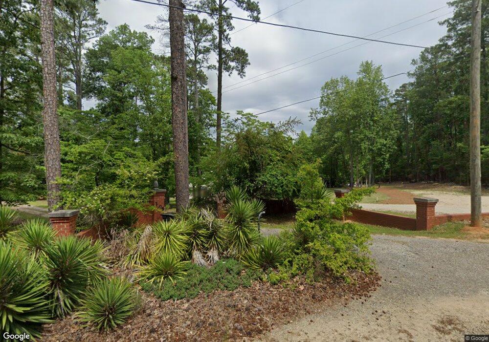
304 Quail Walk Trail Chapin, SC 29036
Estimated Value: $549,000 - $1,176,000
4
Beds
6
Baths
2,861
Sq Ft
$317/Sq Ft
Est. Value
About This Home
This home is located at 304 Quail Walk Trail, Chapin, SC 29036 and is currently estimated at $906,940, approximately $317 per square foot. 304 Quail Walk Trail is a home with nearby schools including Lake Murray Elementary School, Chapin Intermediate, and Chapin High School.
Ownership History
Date
Name
Owned For
Owner Type
Purchase Details
Closed on
Feb 28, 2022
Sold by
Joseph Kern Timothy
Bought by
Kern Timothy Joseph and Kern Lori Carnes
Current Estimated Value
Purchase Details
Closed on
Nov 24, 2020
Sold by
Goodwin Wilma K
Bought by
Kern Timothy Joseph
Home Financials for this Owner
Home Financials are based on the most recent Mortgage that was taken out on this home.
Original Mortgage
$455,000
Interest Rate
2.8%
Mortgage Type
New Conventional
Purchase Details
Closed on
May 16, 2018
Sold by
Goodwin Wilma K
Bought by
Goodwin Glenn H and Goodwin Martha H
Create a Home Valuation Report for This Property
The Home Valuation Report is an in-depth analysis detailing your home's value as well as a comparison with similar homes in the area
Home Values in the Area
Average Home Value in this Area
Purchase History
| Date | Buyer | Sale Price | Title Company |
|---|---|---|---|
| Kern Timothy Joseph | -- | None Listed On Document | |
| Kern Timothy Joseph | $215,000 | None Available | |
| Goodwin Glenn H | $1,000 | None Available |
Source: Public Records
Mortgage History
| Date | Status | Borrower | Loan Amount |
|---|---|---|---|
| Previous Owner | Kern Timothy Joseph | $455,000 |
Source: Public Records
Tax History Compared to Growth
Tax History
| Year | Tax Paid | Tax Assessment Tax Assessment Total Assessment is a certain percentage of the fair market value that is determined by local assessors to be the total taxable value of land and additions on the property. | Land | Improvement |
|---|---|---|---|---|
| 2024 | $4,511 | $27,383 | $8,600 | $18,783 |
| 2023 | $4,189 | $27,383 | $8,600 | $18,783 |
| 2022 | $4,227 | $27,383 | $8,600 | $18,783 |
| 2020 | $719 | $4,453 | $4,453 | $0 |
| 2019 | $655 | $3,872 | $3,872 | $0 |
| 2018 | $750 | $5,176 | $5,176 | $0 |
| 2017 | $731 | $5,176 | $5,176 | $0 |
| 2016 | $749 | $5,176 | $5,176 | $0 |
| 2014 | $807 | $5,600 | $5,600 | $0 |
| 2013 | -- | $5,600 | $5,600 | $0 |
Source: Public Records
Map
Nearby Homes
- 417 Brookridge Dr
- 450 Brookridge Dr Unit LOT 55
- 454 Brookridge Dr
- 1081 Point View Rd
- 516 Mitscher Way
- 533 Mitscher Way
- 2124 Ludlow Place
- 143 Doolittle Dr
- 2130 Ludlow Place
- 2347 Hadley Crossing
- 2351 Hadley Crossing
- 2355 Hadley Crossing
- 1118 Marble Arch Ct
- 3031 Chilmark Rd
- 2348 Hadley Crossing
- 2344 Hadley Crossing
- 3010 Chilmark Rd
- 313 Mallard Dr
- 515 Pine Log Run
- 306 Rising Stream Way
- 307 Brookridge Dr
- 271 Brookridge Dr
- 103 Sunset Ridge Ln
- Lot 15 Quail Walk Trail
- 265 Brookridge Dr
- 0 Brookridge Dr Unit 215006
- 0 Brookridge Dr Unit 215005
- 0 Brookridge Ln Unit 215001
- 0 Brookridge Dr Unit 214994
- 0 Brookridge Dr Unit 214993
- 0 Brookridge Dr Unit 214991
- 0 Brookridge Dr Unit 214990
- 0 Brookridge Dr Unit 214986
- 0 Brookridge Dr Unit 214983
- 0 Brookridge Dr Unit 214981
- 0 Brookridge Dr Unit 214971
- 0 Brookridge Dr Unit 214965
- 0 Brookridge Dr Unit 214963
- 0 Brookridge Dr Unit 214959
- 0 Brookridge Dr Unit 214958