304 Robertson Loop Pollock, LA 71467
Estimated Value: $249,000 - $320,000
3
Beds
2
Baths
1,652
Sq Ft
$168/Sq Ft
Est. Value
About This Home
This home is located at 304 Robertson Loop, Pollock, LA 71467 and is currently estimated at $277,223, approximately $167 per square foot. 304 Robertson Loop is a home located in Grant Parish with nearby schools including Pollock Elementary School, Grant Junior High School, and Grant High School.
Ownership History
Date
Name
Owned For
Owner Type
Purchase Details
Closed on
Aug 6, 2010
Sold by
White Jones David William and White Jones Jennifer Lauren
Bought by
Albritton April Michelle and Busscher Denins Rae
Current Estimated Value
Purchase Details
Closed on
Feb 9, 2007
Sold by
Greer James William
Bought by
Jones David William and White Jennifer Lauren
Create a Home Valuation Report for This Property
The Home Valuation Report is an in-depth analysis detailing your home's value as well as a comparison with similar homes in the area
Purchase History
| Date | Buyer | Sale Price | Title Company |
|---|---|---|---|
| Albritton April Michelle | $179,000 | -- | |
| Jones David William | $159,000 | -- |
Source: Public Records
Tax History
| Year | Tax Paid | Tax Assessment Tax Assessment Total Assessment is a certain percentage of the fair market value that is determined by local assessors to be the total taxable value of land and additions on the property. | Land | Improvement |
|---|---|---|---|---|
| 2024 | $3,165 | $21,259 | $3,061 | $18,198 |
| 2023 | $2,738 | $17,682 | $1,000 | $16,682 |
| 2022 | $2,735 | $17,682 | $1,000 | $16,682 |
| 2021 | $2,734 | $17,682 | $1,000 | $16,682 |
| 2020 | $2,730 | $17,682 | $1,000 | $16,682 |
| 2019 | $2,714 | $17,008 | $1,000 | $16,008 |
| 2018 | $2,714 | $17,008 | $1,000 | $16,008 |
| 2017 | $2,503 | $17,008 | $1,000 | $16,008 |
| 2015 | $2,825 | $16,165 | $1,000 | $15,165 |
| 2014 | $2,825 | $16,165 | $1,000 | $15,165 |
| 2013 | $2,825 | $16,165 | $1,000 | $15,165 |
Source: Public Records
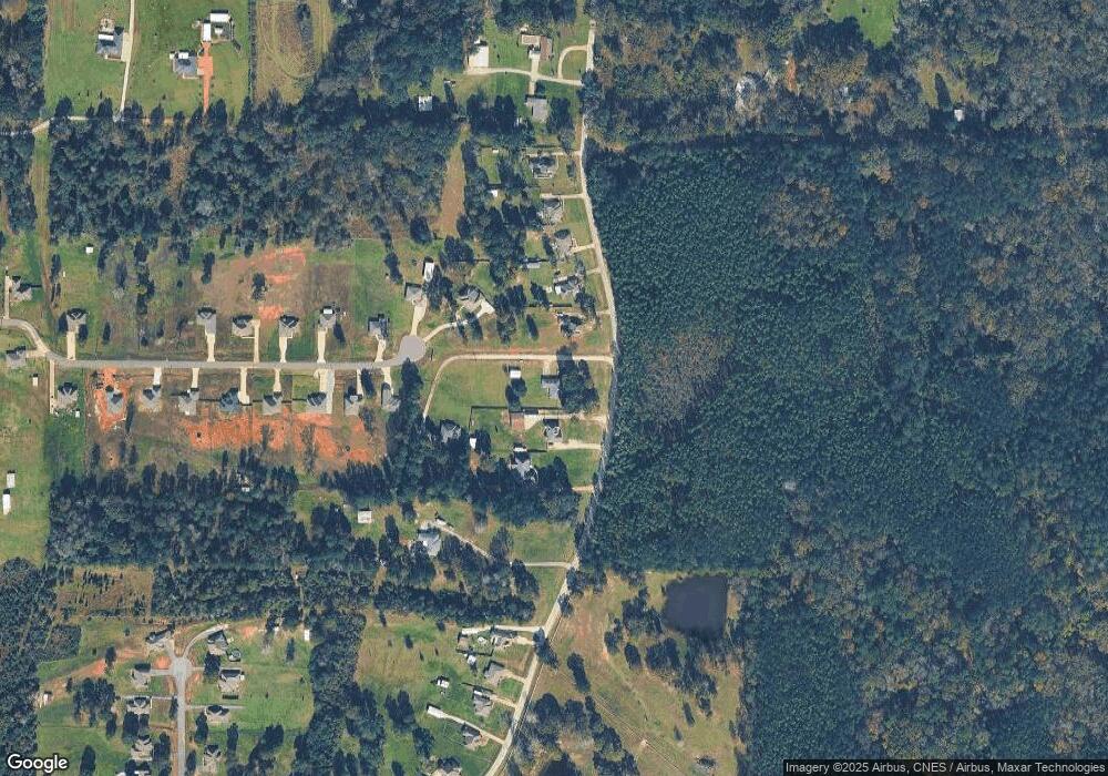
Map
Nearby Homes
- 121 Highway 3130
- 000 Highway 165 None
- 9385 Highway 165 None
- 9385 Highway 165
- 193 Roberts Rd
- 120 Meadow Ln
- 123 Meadow Ln
- 132 Meadow Ln
- 119 Meadow Ln
- 131 Meadow Ln
- 9130 Highway 165 None
- 479 Airbase Rd
- 9130 Highway 165
- 0 Edmonds Rd
- 0 N 165 Hwy Unit 2516900
- 112 Oak Run Trail
- 128 Robertson Rd
- 155 Burma Rd
- 291 Price Rd
- 6923 Monroe Hwy
- 306 Robertson Loop
- 280 Robertson Loop
- 308 Robertson Loop
- 139 Harvest Hill Trail
- 302 Robertson Loop
- 288 Robertson Loop
- 137 Harvest Hill Trail
- 284 Robertson Loop
- A-4 Robertson Loop
- 0 Robertson Loop Rd
- A-3 Robertson Loop
- A-2 Robertson Loop
- A-4 Robertson Loop Unit Tract A-4-A
- 0 Robertson Loop
- 134 Harvest Hill Trail
- 296 Robertson Loop
- 133 Harvest Hill Trail
- 312 Robertson Loop
- tbd Harvest Hill Trail
- 131 Harvest Hill Trail
Your Personal Tour Guide
Ask me questions while you tour the home.