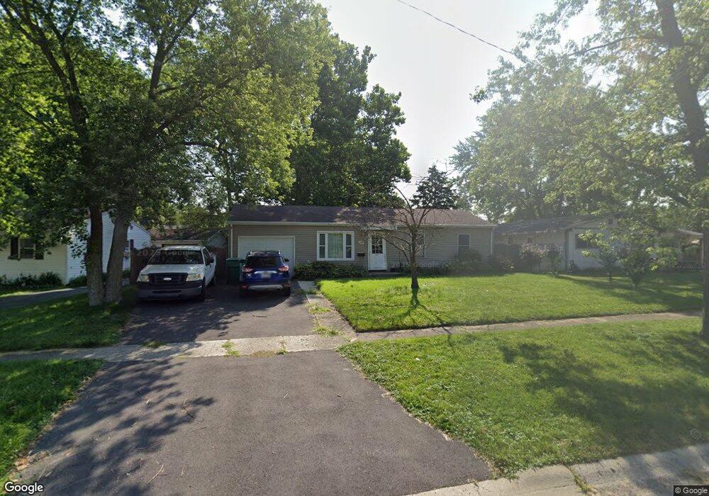
304 Robson Dr Lockport, IL 60441
Estimated Value: $188,000 - $246,000
--
Bed
--
Bath
864
Sq Ft
$251/Sq Ft
Est. Value
About This Home
This home is located at 304 Robson Dr, Lockport, IL 60441 and is currently estimated at $216,729, approximately $250 per square foot. 304 Robson Dr is a home located in Will County with nearby schools including Walsh Elementary School, Ludwig Elementary School, and Reed Elementary School.
Ownership History
Date
Name
Owned For
Owner Type
Purchase Details
Closed on
Jul 21, 2019
Sold by
Murdaugh Gaylord E and Murdaugh Linda K
Bought by
Murdaugh Gaylord E and Murdaugh Linda K
Current Estimated Value
Purchase Details
Closed on
Aug 19, 2002
Sold by
Murdaugh Linda K
Bought by
Murdaugh Linda K and Murdaugh Gaylord E
Purchase Details
Closed on
Jan 25, 1985
Bought by
Murdaugh Linda K
Create a Home Valuation Report for This Property
The Home Valuation Report is an in-depth analysis detailing your home's value as well as a comparison with similar homes in the area
Home Values in the Area
Average Home Value in this Area
Purchase History
| Date | Buyer | Sale Price | Title Company |
|---|---|---|---|
| Murdaugh Gaylord E | -- | Attorney | |
| Murdaugh Linda K | -- | -- | |
| Murdaugh Linda K | $39,900 | -- |
Source: Public Records
Tax History Compared to Growth
Tax History
| Year | Tax Paid | Tax Assessment Tax Assessment Total Assessment is a certain percentage of the fair market value that is determined by local assessors to be the total taxable value of land and additions on the property. | Land | Improvement |
|---|---|---|---|---|
| 2024 | $1,979 | $65,573 | $26,720 | $38,853 |
| 2023 | $1,979 | $58,868 | $23,988 | $34,880 |
| 2022 | $2,488 | $54,911 | $22,376 | $32,535 |
| 2021 | $2,494 | $51,603 | $21,028 | $30,575 |
| 2020 | $2,517 | $49,907 | $20,337 | $29,570 |
| 2019 | $2,510 | $47,305 | $19,277 | $28,028 |
| 2018 | $3,146 | $43,731 | $17,821 | $25,910 |
| 2017 | $2,981 | $41,283 | $16,823 | $24,460 |
| 2016 | $2,804 | $38,691 | $15,767 | $22,924 |
| 2015 | $2,270 | $34,087 | $13,891 | $20,196 |
| 2014 | $2,270 | $31,562 | $12,862 | $18,700 |
| 2013 | $2,270 | $32,206 | $13,124 | $19,082 |
Source: Public Records
Map
Nearby Homes
- 317 Bonnie Dr
- 1220 E Wellwood Dr
- 9.5 Acres S Archer Ave
- 1102 E Treeline Dr
- 1108 E 9th St
- 16609 W Saddlewood Dr
- 721 Reef Rd
- 602 Stephanie Dr
- 1105 Shoals Dr
- 1106 Shoals Dr
- 808 Cove Ave
- 1340 Lacoma Ct
- 15303 S Oak Run Ct
- 1012 N Glenmore St
- 0 Smith Rd South of 135th St Unit MRD12274096
- 0 151st & MacGregor St Unit MRD11873272
- 0 N State St Unit 10995892
- 613 Katherine St
- 1024 Kylemore Ct
- 609 Oak St
- 306 Robson Dr
- 302 Robson Dr
- 1313 Mccameron Ave
- 1311 Mccameron Ave
- 1300 Highland Ave
- 1302 Highland Ave
- 1315 Mccameron Ave
- 305 Robson Dr
- 303 Robson Dr
- 1304 Highland Ave
- 307 Robson Dr
- 1222 Highland Ave
- 1317 Mccameron Ave
- 1317 Mc Cameron Ave
- 1307 Mccameron Ave
- 304 Geissler St
- 1319 Mccameron Ave
- 302 Geissler St
- 306 Geissler St
- 1339 Highland Ave