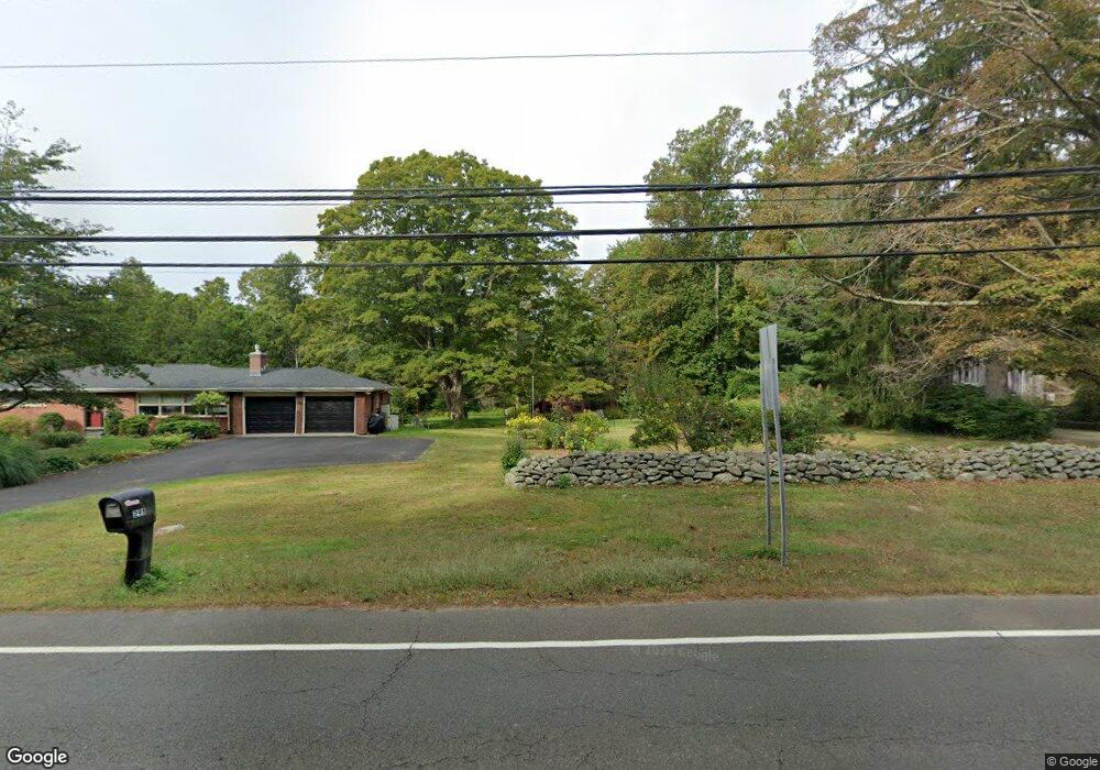
304 Route 81 Killingworth, CT 06419
Estimated Value: $747,000 - $922,000
4
Beds
3
Baths
3,439
Sq Ft
$241/Sq Ft
Est. Value
About This Home
This home is located at 304 Route 81, Killingworth, CT 06419 and is currently estimated at $829,611, approximately $241 per square foot. 304 Route 81 is a home located in Middlesex County with nearby schools including Haddam-Killingworth High School and Haddam-Killingworth Intermediate School.
Ownership History
Date
Name
Owned For
Owner Type
Purchase Details
Closed on
May 8, 2025
Sold by
Hosney Amy L and Hosney John S
Bought by
Hosney Ft and Hosney
Current Estimated Value
Purchase Details
Closed on
Apr 1, 2002
Sold by
Homes For Families
Bought by
Hosney Jon S and Mcgovern Amy L
Create a Home Valuation Report for This Property
The Home Valuation Report is an in-depth analysis detailing your home's value as well as a comparison with similar homes in the area
Home Values in the Area
Average Home Value in this Area
Purchase History
| Date | Buyer | Sale Price | Title Company |
|---|---|---|---|
| Hosney Ft | -- | None Available | |
| Hosney Ft | -- | None Available | |
| Hosney Jon S | $438,500 | -- | |
| Hosney Jon S | $438,500 | -- |
Source: Public Records
Mortgage History
| Date | Status | Borrower | Loan Amount |
|---|---|---|---|
| Previous Owner | Hosney Jon S | $15,000 | |
| Previous Owner | Hosney Jon S | $295,000 |
Source: Public Records
Tax History Compared to Growth
Tax History
| Year | Tax Paid | Tax Assessment Tax Assessment Total Assessment is a certain percentage of the fair market value that is determined by local assessors to be the total taxable value of land and additions on the property. | Land | Improvement |
|---|---|---|---|---|
| 2025 | $11,387 | $434,280 | $79,030 | $355,250 |
| 2024 | $10,518 | $434,280 | $79,030 | $355,250 |
| 2023 | $10,193 | $434,280 | $79,030 | $355,250 |
| 2022 | $10,084 | $434,280 | $79,030 | $355,250 |
| 2021 | $10,210 | $382,110 | $82,560 | $299,550 |
| 2020 | $10,210 | $382,110 | $82,560 | $299,550 |
| 2019 | $0 | $382,110 | $82,560 | $299,550 |
| 2018 | $10,497 | $382,110 | $82,560 | $299,550 |
| 2017 | $10,497 | $382,110 | $82,560 | $299,550 |
| 2016 | $9,026 | $348,640 | $124,040 | $224,600 |
| 2015 | $8,796 | $348,640 | $124,040 | $224,600 |
| 2014 | $8,552 | $348,640 | $124,040 | $224,600 |
Source: Public Records
Map
Nearby Homes
- 115 Hemlock Dr
- 262 Connecticut 81
- 14 Ely Ln
- 14 Kenilworth Dr
- 10 Whitewood Rd
- 33 Whitewood Rd
- 8 Livemore Trail
- 11 Pleasant Trail
- 24 Boulder Trail
- 16 Bridlepath Trail
- 179 Route 81
- 275 Route 148
- 37 Titus Coan Rd
- 511 Route 81
- 30 Chestnut Hill Rd
- 100 N Tower Hill Rd
- 180 Green Hill Rd
- 8 Route 148
- 8 Linnea Ln
- 174 Concord Dr