Estimated Value: $328,000 - $429,000
3
Beds
3
Baths
1,800
Sq Ft
$203/Sq Ft
Est. Value
About This Home
This home is located at 304 Safe Harbor Cir Unit Safe Harbor 304, Salem, SC 29676 and is currently estimated at $364,904, approximately $202 per square foot. 304 Safe Harbor Cir Unit Safe Harbor 304 is a home located in Oconee County with nearby schools including Keowee Elementary School, Walhalla Middle School, and Walhalla High School.
Ownership History
Date
Name
Owned For
Owner Type
Purchase Details
Closed on
Apr 27, 2018
Sold by
Fant William B and Fant Anne B
Bought by
Danino Susan M
Current Estimated Value
Home Financials for this Owner
Home Financials are based on the most recent Mortgage that was taken out on this home.
Original Mortgage
$104,000
Outstanding Balance
$89,753
Interest Rate
4.5%
Mortgage Type
New Conventional
Estimated Equity
$275,151
Purchase Details
Closed on
Jun 5, 2015
Sold by
Mckeever James S and Mckeever Judith A
Bought by
Fant William B and Fant Anne B
Purchase Details
Closed on
May 30, 2008
Sold by
Shared Holdings Llc
Bought by
Mckeever James S and Mckeever Judith A
Home Financials for this Owner
Home Financials are based on the most recent Mortgage that was taken out on this home.
Original Mortgage
$155,000
Interest Rate
6.02%
Mortgage Type
New Conventional
Create a Home Valuation Report for This Property
The Home Valuation Report is an in-depth analysis detailing your home's value as well as a comparison with similar homes in the area
Home Values in the Area
Average Home Value in this Area
Purchase History
| Date | Buyer | Sale Price | Title Company |
|---|---|---|---|
| Danino Susan M | $130,000 | None Available | |
| Fant William B | $125,200 | -- | |
| Mckeever James S | $210,000 | -- |
Source: Public Records
Mortgage History
| Date | Status | Borrower | Loan Amount |
|---|---|---|---|
| Open | Danino Susan M | $104,000 | |
| Previous Owner | Mckeever James S | $155,000 |
Source: Public Records
Tax History Compared to Growth
Tax History
| Year | Tax Paid | Tax Assessment Tax Assessment Total Assessment is a certain percentage of the fair market value that is determined by local assessors to be the total taxable value of land and additions on the property. | Land | Improvement |
|---|---|---|---|---|
| 2024 | $1,875 | $5,383 | $214 | $5,169 |
| 2023 | $1,875 | $5,383 | $214 | $5,169 |
| 2022 | $1,900 | $5,383 | $214 | $5,169 |
| 2021 | $1,724 | $5,100 | $214 | $4,886 |
| 2020 | $1,854 | $0 | $0 | $0 |
| 2019 | $1,854 | $0 | $0 | $0 |
| 2018 | $1,808 | $0 | $0 | $0 |
| 2017 | $1,724 | $0 | $0 | $0 |
| 2016 | $1,724 | $0 | $0 | $0 |
| 2015 | -- | $0 | $0 | $0 |
| 2014 | -- | $6,181 | $214 | $5,967 |
| 2013 | -- | $0 | $0 | $0 |
Source: Public Records
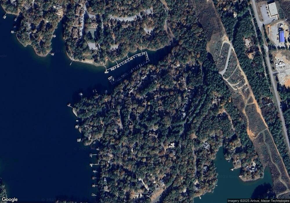
Map
Nearby Homes
- 110 Safe Harbor Cir
- 13 Lead Line Way
- 203 W Blue Heron Dr
- 19 Spy Glass Ln
- 1 Pine Garden Cir
- 2 Pine Garden Cir
- 4 Pine Garden Cir
- 307 Woodgreene Ct
- 204 Harbor Cove Dr
- 2 Lookout Ln
- 217 E Wynward Pointe Dr
- 4 Sextant Dr
- 37 Par Harbor Way
- 4 Hawser Ct
- 300 Northwind Ct
- 124 Pineridge Pointe Dr
- 49 Par Harbor Way
- 25 Foremast Dr
- 122 Pineridge Pointe Dr
- 3 Harbour View Dr
- 304 Safe Harbor Cir Unit Keowee Key
- 304 Safe Harbor Cir
- 306 Safe Harbor Cir
- 302 Safe Harbor Cir
- 308 Safe Harbor Cir
- 208 Safe Harbor Cir Unit Keowee Key
- 208 Safe Harbor Cir
- 402 Safe Harbor Cir
- 204 Safe Harbor Cir
- 404 Safe Harbor Cir
- 202 Safe Harbor Cir
- 406 Safe Harbor Cir
- 108 Safe Harbor Cir
- 12 Wharf Dr
- 106 Safe Harbor Cir
- 10 Wharf Dr
- 10 Wharf Dr Unit 24/003
- 14 Wharf Dr
- 410 Safe Harbor Cir
- 18 Tide Turn Dr