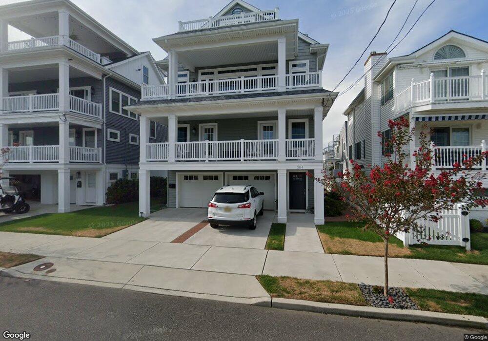
304 Saint Davids Place Unit 10 Ocean City, NJ 08226
Estimated Value: $1,407,000 - $2,567,000
--
Bed
--
Bath
660
Sq Ft
$3,032/Sq Ft
Est. Value
About This Home
This home is located at 304 Saint Davids Place Unit 10, Ocean City, NJ 08226 and is currently estimated at $2,001,279, approximately $3,032 per square foot. 304 Saint Davids Place Unit 10 is a home located in Cape May County with nearby schools including Ocean City Primary School, Ocean City Intermediate School, and Ocean City High School.
Ownership History
Date
Name
Owned For
Owner Type
Purchase Details
Closed on
Mar 4, 2021
Sold by
Mclaughlin Deborah K
Bought by
Mclaughlin Deborah K
Current Estimated Value
Purchase Details
Closed on
Dec 27, 2019
Sold by
Ogb Development Llc
Bought by
Mclaughlin Deborah K
Home Financials for this Owner
Home Financials are based on the most recent Mortgage that was taken out on this home.
Original Mortgage
$875,000
Interest Rate
3.73%
Mortgage Type
Purchase Money Mortgage
Purchase Details
Closed on
Dec 13, 2018
Sold by
Helen L Woodland T
Bought by
Ogb Development Llc
Purchase Details
Closed on
Mar 22, 2004
Sold by
Woodland Helen L
Bought by
Woodland Helen L and The Helen L Woodland Trust
Purchase Details
Closed on
Jul 28, 2003
Sold by
Woodland Helen L
Bought by
The Helen L Woodland Trust
Create a Home Valuation Report for This Property
The Home Valuation Report is an in-depth analysis detailing your home's value as well as a comparison with similar homes in the area
Home Values in the Area
Average Home Value in this Area
Purchase History
| Date | Buyer | Sale Price | Title Company |
|---|---|---|---|
| Mclaughlin Deborah K | -- | None Available | |
| Mclaughlin Deborah K | -- | None Listed On Document | |
| Mclaughlin Deborah K | $1,290,000 | None Available | |
| Ogb Development Llc | $925,000 | -- | |
| Woodland Helen L | -- | -- | |
| The Helen L Woodland Trust | -- | -- |
Source: Public Records
Mortgage History
| Date | Status | Borrower | Loan Amount |
|---|---|---|---|
| Previous Owner | Mclaughlin Deborah K | $875,000 |
Source: Public Records
Tax History Compared to Growth
Tax History
| Year | Tax Paid | Tax Assessment Tax Assessment Total Assessment is a certain percentage of the fair market value that is determined by local assessors to be the total taxable value of land and additions on the property. | Land | Improvement |
|---|---|---|---|---|
| 2025 | $13,048 | $1,162,900 | $469,600 | $693,300 |
| 2024 | $13,048 | $1,162,900 | $469,600 | $693,300 |
| 2023 | $12,455 | $1,162,900 | $469,600 | $693,300 |
| 2022 | $11,966 | $1,162,900 | $469,600 | $693,300 |
| 2021 | $4,593 | $1,162,900 | $469,600 | $693,300 |
| 2020 | $4,593 | $469,600 | $469,600 | $0 |
| 2019 | $6,700 | $692,900 | $674,800 | $18,100 |
| 2018 | $6,638 | $692,900 | $674,800 | $18,100 |
| 2017 | $6,534 | $692,900 | $674,800 | $18,100 |
| 2016 | $6,285 | $692,900 | $674,800 | $18,100 |
| 2015 | $6,201 | $692,900 | $674,800 | $18,100 |
| 2014 | $6,111 | $692,900 | $674,800 | $18,100 |
Source: Public Records
Map
Nearby Homes
- 4641 West Ave Unit 1
- 4550 Asbury Ave
- 4818 Asbury Ave Unit 1
- 4818-20 Asbury Ave
- 4448 West Ave Unit 11
- 4923 Central Ave Unit 2
- 4919 Central Ave
- 4933 Central Ave Unit 4933
- 4350 West Ave Unit 37
- 4236 Asbury Ave Unit 1
- 5225 Asbury Ave Unit 1
- 5242 West Ave Unit 2
- 4102 West Ave Unit 2
- 5235 Central Ave
- 13 53rd St
- 5315 West Ave
- 3913 Central Ave Unit A
- 5404 Bay Ave
- 209 Bark Dr
- 5441 Central Ave
- 308 Saint Davids Place
- 300 St Davids Place
- 300 Saint Davids Place Unit 2
- 305 Merion Place
- 312 Saint Davids Place
- 311 Merion Place
- 312 St Davids Place
- 301 Merion Place Unit 3
- 313 Merion Place Unit 15
- 4710 Asbury Ave
- 305 Saint Davids Place Unit 11
- 4712 Asbury Ave
- 301 Saint Davids Place
- 4708 Asbury Ave
- 4704 Asbury Ave
- 300 47th St Unit 2
- 304 47th St
- 304 Merion Place Unit 6
- 4716 West Ave Unit 1
- 4716 West Ave Unit 1st floor