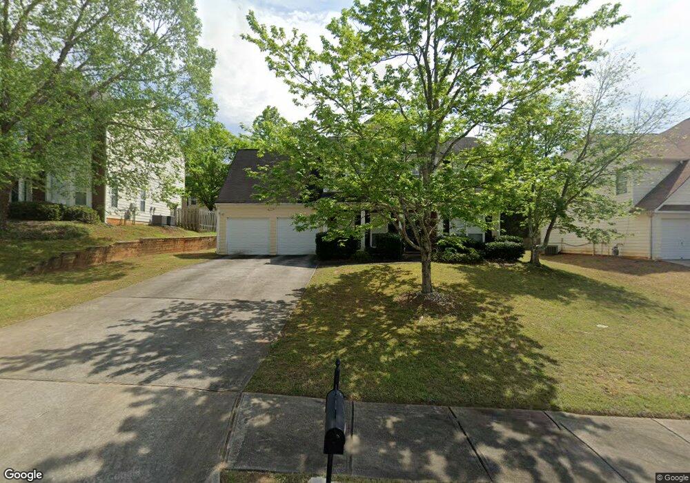
304 Shasta Ln McDonough, GA 30253
Estimated Value: $285,000 - $324,000
3
Beds
3
Baths
1,992
Sq Ft
$153/Sq Ft
Est. Value
About This Home
This home is located at 304 Shasta Ln, McDonough, GA 30253 and is currently estimated at $304,032, approximately $152 per square foot. 304 Shasta Ln is a home located in Henry County with nearby schools including Union Grove Middle School, Union Grove High School, and Hickory Flat Elementary School.
Ownership History
Date
Name
Owned For
Owner Type
Purchase Details
Closed on
Nov 19, 2018
Sold by
American Homes 4 Rent Properties Eight L
Bought by
Amh 2014 3 Borrower Lp
Current Estimated Value
Purchase Details
Closed on
Aug 4, 2015
Sold by
Neal Sharon
Bought by
American Homes 4 Rent Properties Eight L
Purchase Details
Closed on
Jul 31, 2000
Sold by
D R Horton Inc - Torrey
Bought by
Neal Sharon
Home Financials for this Owner
Home Financials are based on the most recent Mortgage that was taken out on this home.
Original Mortgage
$149,323
Interest Rate
8.07%
Mortgage Type
FHA
Create a Home Valuation Report for This Property
The Home Valuation Report is an in-depth analysis detailing your home's value as well as a comparison with similar homes in the area
Home Values in the Area
Average Home Value in this Area
Purchase History
| Date | Buyer | Sale Price | Title Company |
|---|---|---|---|
| Amh 2014 3 Borrower Lp | -- | -- | |
| American Homes 4 Rent Properties Eight L | $112,000 | -- | |
| Neal Sharon | $149,400 | -- |
Source: Public Records
Mortgage History
| Date | Status | Borrower | Loan Amount |
|---|---|---|---|
| Previous Owner | Neal Sharon | $149,323 |
Source: Public Records
Tax History Compared to Growth
Tax History
| Year | Tax Paid | Tax Assessment Tax Assessment Total Assessment is a certain percentage of the fair market value that is determined by local assessors to be the total taxable value of land and additions on the property. | Land | Improvement |
|---|---|---|---|---|
| 2025 | $4,858 | $117,480 | $14,000 | $103,480 |
| 2024 | $4,858 | $117,440 | $14,000 | $103,440 |
| 2023 | $4,721 | $111,360 | $12,000 | $99,360 |
| 2022 | $3,621 | $88,720 | $12,000 | $76,720 |
| 2021 | $3,049 | $73,720 | $12,000 | $61,720 |
| 2020 | $2,859 | $68,720 | $12,000 | $56,720 |
| 2019 | $2,629 | $64,280 | $10,000 | $54,280 |
| 2018 | $2,431 | $59,120 | $8,800 | $50,320 |
| 2016 | $1,882 | $44,800 | $8,243 | $36,557 |
| 2015 | $1,653 | $44,960 | $8,000 | $36,960 |
| 2014 | $1,327 | $36,440 | $8,000 | $28,440 |
Source: Public Records
Map
Nearby Homes
- 271 Mckinley Loop
- 209 Braemar Ct
- 113 Glenmore Ln
- 479 Sawtooth Ln
- 321 Inverness Ave
- 172 Summit View Dr
- 441 Aviemore Loop
- 1872 Hwy 42 N
- 221 Summit View Dr
- 466 Astoria Way
- 176 Cranapple Ln
- 1181 Paramount Dr
- 124 Crown Walk
- 245 Bald Ave
- 309 Bowfin Trail
- 364 Bowfin Trail
- 1739A Highway 42
- 168 Vintage Trail
- 833 Colwell Ln
- 401 Crosshaven Way
- 304 Shasta Ln Unit I
- 308 Shasta Ln
- 300 Shasta Ln
- 211 Mckinley Loop
- 215 Mckinley Loop Unit 1
- 201 Mckinley Loop
- 312 Shasta Ln
- 312 Shasta Ln Unit 1
- 305 Shasta Ln Unit 305
- 305 Shasta Ln
- 305 Shasta Ln Unit 1
- 114 Summit View Dr Unit 1
- 309 Shasta Ln
- 219 Mckinley Loop
- 309 Shasta Ln
- 316 Shasta Ln Unit 1
- 313 Shasta Ln Unit 1
- 313 Shasta Ln Unit 3
- 120 Summit View Dr
- 120 Summit View Dr Unit 1