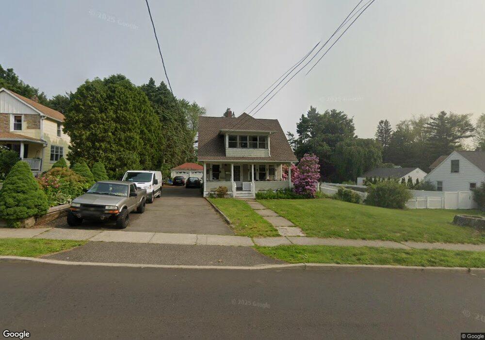
304 W Main St Milford, CT 06460
Downtown Milford NeighborhoodEstimated Value: $500,262 - $543,000
3
Beds
2
Baths
1,786
Sq Ft
$291/Sq Ft
Est. Value
About This Home
This home is located at 304 W Main St, Milford, CT 06460 and is currently estimated at $519,816, approximately $291 per square foot. 304 W Main St is a home located in New Haven County with nearby schools including Orange Avenue School, Harborside Middle School, and Joseph A. Foran High School.
Ownership History
Date
Name
Owned For
Owner Type
Purchase Details
Closed on
Nov 19, 2009
Sold by
Diblaso Lynn M
Bought by
Diblase Lynn M
Current Estimated Value
Purchase Details
Closed on
May 1, 1996
Sold by
Voogd Sandra J
Bought by
Corning Lynn M
Home Financials for this Owner
Home Financials are based on the most recent Mortgage that was taken out on this home.
Original Mortgage
$147,000
Interest Rate
7.82%
Mortgage Type
Unknown
Purchase Details
Closed on
May 13, 1991
Sold by
Bay Loan & Inv Bk
Bought by
Voogd Sandra J
Create a Home Valuation Report for This Property
The Home Valuation Report is an in-depth analysis detailing your home's value as well as a comparison with similar homes in the area
Home Values in the Area
Average Home Value in this Area
Purchase History
| Date | Buyer | Sale Price | Title Company |
|---|---|---|---|
| Diblase Lynn M | -- | -- | |
| Diblase Lynn M | -- | -- | |
| Corning Lynn M | $155,000 | -- | |
| Corning Lynn M | $155,000 | -- | |
| Voogd Sandra J | $131,000 | -- |
Source: Public Records
Mortgage History
| Date | Status | Borrower | Loan Amount |
|---|---|---|---|
| Previous Owner | Voogd Sandra J | $135,500 | |
| Previous Owner | Voogd Sandra J | $147,000 |
Source: Public Records
Tax History Compared to Growth
Tax History
| Year | Tax Paid | Tax Assessment Tax Assessment Total Assessment is a certain percentage of the fair market value that is determined by local assessors to be the total taxable value of land and additions on the property. | Land | Improvement |
|---|---|---|---|---|
| 2025 | $7,095 | $240,110 | $101,180 | $138,930 |
| 2024 | $6,997 | $240,110 | $101,180 | $138,930 |
| 2023 | $6,524 | $240,110 | $101,180 | $138,930 |
| 2022 | $6,399 | $240,110 | $101,180 | $138,930 |
| 2021 | $5,411 | $195,710 | $73,640 | $122,070 |
| 2020 | $5,417 | $195,710 | $73,640 | $122,070 |
| 2019 | $5,423 | $195,710 | $73,640 | $122,070 |
| 2018 | $5,429 | $195,710 | $73,640 | $122,070 |
| 2017 | $5,439 | $195,710 | $73,640 | $122,070 |
| 2016 | $5,650 | $202,940 | $66,280 | $136,660 |
| 2015 | $5,658 | $202,940 | $66,280 | $136,660 |
| 2014 | $5,524 | $202,940 | $66,280 | $136,660 |
Source: Public Records
Map
Nearby Homes
- 299 W Main St
- 27 Peck St
- 72 Plains Rd
- 50 Washington St
- 40 Washington St
- 88 Boston Post Rd
- 10 Lucius Ct Unit 10
- 663 West Ave Unit A20
- 663 West Ave Unit A21
- 156 Meadow St
- 238 Zion Hill Rd
- 36 Shipyard Ln Unit C
- 97 North St
- 110 Meadowside Rd
- 83 Underhill Rd
- 48 Alden Place
- 30 Kinloch St
- 51 Underhill Rd
- 9 Mayflower Ct
- 193 Wheelers Farms Rd