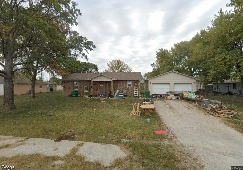
304 W Waggoner St Adrian, MO 64720
Estimated Value: $175,000 - $210,000
2
Beds
--
Bath
1,247
Sq Ft
$156/Sq Ft
Est. Value
About This Home
This home is located at 304 W Waggoner St, Adrian, MO 64720 and is currently estimated at $194,099, approximately $155 per square foot. 304 W Waggoner St is a home with nearby schools including Adrian R-III Elementary School and Adrian R-III Middle/High School.
Ownership History
Date
Name
Owned For
Owner Type
Purchase Details
Closed on
Sep 5, 2017
Sold by
Ford Richard and Ford Gwen M
Bought by
Nathaniel Oates Caleb Brian
Current Estimated Value
Home Financials for this Owner
Home Financials are based on the most recent Mortgage that was taken out on this home.
Original Mortgage
$143,131
Outstanding Balance
$118,662
Interest Rate
3.9%
Mortgage Type
New Conventional
Estimated Equity
$75,437
Purchase Details
Closed on
Apr 26, 2017
Sold by
Cooper Matt and Cooper Erin
Bought by
Ford Richard L and Ford Gwen M
Create a Home Valuation Report for This Property
The Home Valuation Report is an in-depth analysis detailing your home's value as well as a comparison with similar homes in the area
Purchase History
| Date | Buyer | Sale Price | Title Company |
|---|---|---|---|
| Nathaniel Oates Caleb Brian | -- | None Available | |
| Ford Richard L | -- | None Available |
Source: Public Records
Mortgage History
| Date | Status | Borrower | Loan Amount |
|---|---|---|---|
| Open | Nathaniel Oates Caleb Brian | $143,131 |
Source: Public Records
Tax History
| Year | Tax Paid | Tax Assessment Tax Assessment Total Assessment is a certain percentage of the fair market value that is determined by local assessors to be the total taxable value of land and additions on the property. | Land | Improvement |
|---|---|---|---|---|
| 2025 | $966 | $16,150 | $0 | $0 |
| 2024 | $10 | $14,210 | $0 | $0 |
| 2023 | $966 | $14,210 | $0 | $0 |
| 2022 | $892 | $13,050 | $0 | $0 |
| 2020 | $863 | $13,050 | $0 | $0 |
| 2019 | $862 | $13,050 | $0 | $0 |
| 2018 | $862 | $13,050 | $0 | $0 |
| 2017 | $849 | $13,050 | $0 | $0 |
| 2016 | $709 | $12,860 | $0 | $0 |
| 2015 | -- | $12,860 | $0 | $0 |
| 2013 | -- | $52,300 | $0 | $0 |
Source: Public Records
Map
Nearby Homes
- 304 N Mulberry St
- 120 W 3rd St
- 35 W 3rd St
- 233 W 5th St
- 124 W 5th St
- 13263A NE County Road 23 N A
- 0 NW County Road 1001
- 542 N West Lexington St
- 317 S Kentucky St
- 30 E 7th St
- 32 E 7th St
- 13 Skyline Dr
- 19 Skyline Dr
- 604 N Kentucky St
- 104 E 8th St
- 321 E 7th St
- 649 E Main St
- 1005 N Old Highway 71 N A
- 422 NE Lakota Dr
- 10009 NE County Road 13004
- 110 S Clark St
- 310 W Waggoner St
- 309 W 1st St
- 312 W Waggoner St
- 234 W Waggoner St
- 310 W 1st St
- 403 W 1st St
- 314 W Waggoner St
- 312 W 1st St
- 407 W 1st St
- 316 W Waggoner St
- 229 W 1st St
- 244 W 1st St
- 230 W 1st St
- 219 W 1st St
- 105 S Manor Dr
- 109 N Clark St
- 209 W 1st St
- 11850 NW County Road 881
- 235 W 2nd St
Your Personal Tour Guide
Ask me questions while you tour the home.