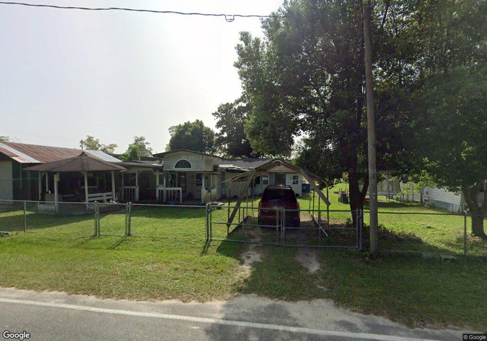
304 Walker St Screven, GA 31560
Estimated Value: $75,016 - $266,000
Studio
1
Bath
1,584
Sq Ft
$107/Sq Ft
Est. Value
About This Home
This home is located at 304 Walker St, Screven, GA 31560 and is currently estimated at $169,754, approximately $107 per square foot. 304 Walker St is a home located in Wayne County with nearby schools including Screven Elementary School, Arthur Williams Middle School, and Wayne County High School.
Ownership History
Date
Name
Owned For
Owner Type
Purchase Details
Closed on
Feb 19, 2009
Sold by
Wallace Wendell
Bought by
Wallace Ryan and Griffin Mechelle
Current Estimated Value
Home Financials for this Owner
Home Financials are based on the most recent Mortgage that was taken out on this home.
Original Mortgage
$12,283
Interest Rate
5.15%
Mortgage Type
Future Advance Clause Open End Mortgage
Purchase Details
Closed on
Apr 1, 1990
Bought by
Smith Wayne A and Smith Kimberly A
Purchase Details
Closed on
May 1, 1989
Purchase Details
Closed on
Feb 1, 1989
Purchase Details
Closed on
Sep 1, 1975
Create a Home Valuation Report for This Property
The Home Valuation Report is an in-depth analysis detailing your home's value as well as a comparison with similar homes in the area
Purchase History
| Date | Buyer | Sale Price | Title Company |
|---|---|---|---|
| Wallace Ryan | $12,000 | -- | |
| Smith Wayne A | $15,000 | -- | |
| Wallace Wendell | -- | -- | |
| -- | $14,100 | -- | |
| -- | -- | -- | |
| -- | -- | -- |
Source: Public Records
Mortgage History
| Date | Status | Borrower | Loan Amount |
|---|---|---|---|
| Closed | Wallace Ryan | $12,283 |
Source: Public Records
Tax History
| Year | Tax Paid | Tax Assessment Tax Assessment Total Assessment is a certain percentage of the fair market value that is determined by local assessors to be the total taxable value of land and additions on the property. | Land | Improvement |
|---|---|---|---|---|
| 2025 | $746 | $23,802 | $757 | $23,045 |
| 2024 | $700 | $23,053 | $757 | $22,296 |
| 2023 | $475 | $13,583 | $757 | $12,826 |
| 2022 | $428 | $13,583 | $757 | $12,826 |
| 2021 | $458 | $13,583 | $757 | $12,826 |
| 2020 | $474 | $13,583 | $757 | $12,826 |
| 2019 | $488 | $13,583 | $757 | $12,826 |
| 2018 | $488 | $13,583 | $757 | $12,826 |
| 2017 | $420 | $13,583 | $757 | $12,826 |
| 2016 | $406 | $13,582 | $757 | $12,826 |
| 2014 | $407 | $13,582 | $757 | $12,826 |
| 2013 | -- | $13,581 | $756 | $12,825 |
Source: Public Records
Map
Nearby Homes
- 307 Blocker St
- 109 Joyner St
- 102 Highsmith Ave
- 868 Broadhurst Rd W
- 885 Odum Screven Rd
- 0 Dale Mill Rd
- 79 Tula Ln
- 9009 Waycross Hwy
- 6959 Oak Crossing Rd
- 6940 Oak Crossing Rd
- 7132 Waycross Hwy
- 7014 Waycross Hwy
- 88 Minnesota Rd
- 1517 Granny Crosby Rd
- 362 Crosby Ln
- 6005 Chancey Rd
- 675 Foxwood Cir
- 1565 E Lake Dr
- TRACT 1 Loggan Ln
- TRACT 2 Loggan Ln
Your Personal Tour Guide
Ask me questions while you tour the home.