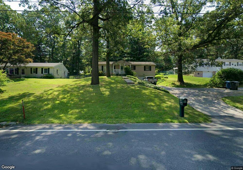
304 Winterstown Rd Red Lion, PA 17356
Estimated Value: $182,000 - $249,000
3
Beds
1
Bath
1,080
Sq Ft
$203/Sq Ft
Est. Value
About This Home
This home is located at 304 Winterstown Rd, Red Lion, PA 17356 and is currently estimated at $218,899, approximately $202 per square foot. 304 Winterstown Rd is a home located in York County with nearby schools including Pleasant View Elementary School, Red Lion Area Junior High School, and Red Lion Area Senior High School.
Ownership History
Date
Name
Owned For
Owner Type
Purchase Details
Closed on
Sep 26, 2008
Sold by
Satterfield Joel A
Bought by
Yeager Timothy A
Current Estimated Value
Home Financials for this Owner
Home Financials are based on the most recent Mortgage that was taken out on this home.
Original Mortgage
$128,981
Outstanding Balance
$86,221
Interest Rate
6.54%
Mortgage Type
FHA
Estimated Equity
$132,678
Purchase Details
Closed on
Nov 13, 2006
Sold by
Satterfield Myrtle A
Bought by
Satterfield Joel A
Create a Home Valuation Report for This Property
The Home Valuation Report is an in-depth analysis detailing your home's value as well as a comparison with similar homes in the area
Home Values in the Area
Average Home Value in this Area
Purchase History
| Date | Buyer | Sale Price | Title Company |
|---|---|---|---|
| Yeager Timothy A | $130,000 | None Available | |
| Satterfield Joel A | $100,000 | None Available |
Source: Public Records
Mortgage History
| Date | Status | Borrower | Loan Amount |
|---|---|---|---|
| Open | Yeager Timothy A | $128,981 |
Source: Public Records
Tax History Compared to Growth
Tax History
| Year | Tax Paid | Tax Assessment Tax Assessment Total Assessment is a certain percentage of the fair market value that is determined by local assessors to be the total taxable value of land and additions on the property. | Land | Improvement |
|---|---|---|---|---|
| 2025 | $3,055 | $97,730 | $31,950 | $65,780 |
| 2024 | $2,935 | $97,730 | $31,950 | $65,780 |
| 2023 | $2,935 | $97,730 | $31,950 | $65,780 |
| 2022 | $2,935 | $97,730 | $31,950 | $65,780 |
| 2021 | $2,852 | $97,730 | $31,950 | $65,780 |
| 2020 | $2,852 | $97,730 | $31,950 | $65,780 |
| 2019 | $2,842 | $97,730 | $31,950 | $65,780 |
| 2018 | $2,827 | $97,730 | $31,950 | $65,780 |
| 2017 | $2,803 | $97,730 | $31,950 | $65,780 |
| 2016 | $0 | $97,730 | $31,950 | $65,780 |
| 2015 | -- | $97,730 | $31,950 | $65,780 |
| 2014 | -- | $97,730 | $31,950 | $65,780 |
Source: Public Records
Map
Nearby Homes
- 420 Greenway Dr
- 131 Country Club Rd
- 460 Highland Rd
- 738 Wise Ave
- 661 S Duke St
- 600 S Duke St
- 126 Linden Ave
- 610 Memory Ln
- 445 S Main St
- 503 W Broadway
- 321 Atlantic Ave
- 168 Country Ridge Dr
- 338 Atlantic Ave
- 156 Country Ridge Dr
- 131 Country Ridge Dr
- 211 Country Ridge Dr
- 840 Country Club Rd
- 126 Country Ridge Dr
- 46 S Main St
- 260 Country Ridge Dr
- 302 Winterstown Rd
- 306 Winterstown Rd
- 305 Forest Hills Rd
- 307 Forest Hills Rd
- 308 Winterstown Rd
- 300 Winterstown Rd
- 309 Forest Hills Rd
- 301 Forest Hills Rd
- 275 Winterstown Rd
- 281 Winterstown Rd
- 310 Winterstown Rd
- 261 Winterstown Rd
- 228 Winterstown Rd
- 313 Forest Hills Rd
- 304 Forest Hills Rd
- 302 Forest Hills Rd
- 229 Forest Hills Rd
- 312 Winterstown Rd
- 285 Winterstown Rd
- 300 Forest Hills Rd