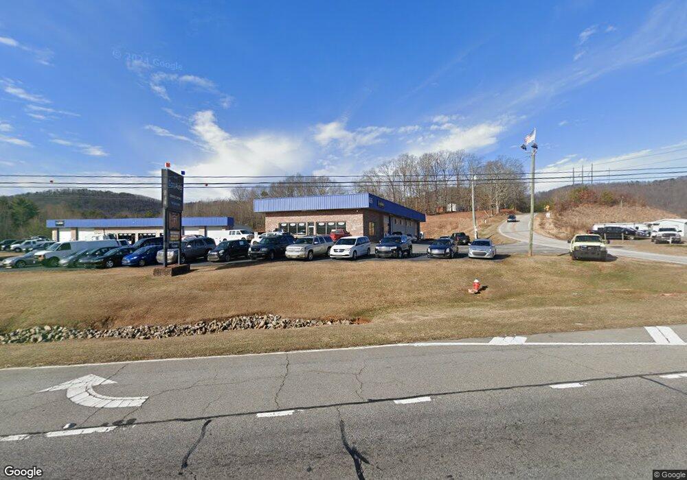
3040 Hwy 129 S Unit 3042 Cleveland, GA 30528
Estimated Value: $261,087
4
Beds
--
Bath
6,250
Sq Ft
$42/Sq Ft
Est. Value
About This Home
This home is located at 3040 Hwy 129 S Unit 3042, Cleveland, GA 30528 and is currently estimated at $261,087, approximately $41 per square foot. 3040 Hwy 129 S Unit 3042 is a home located in White County with nearby schools including Mossy Creek Elementary School, White County 9th Grade Academy, and White County Middle School.
Ownership History
Date
Name
Owned For
Owner Type
Purchase Details
Closed on
Jan 15, 2021
Sold by
Schweitzer John L
Bought by
Turner Charles M
Current Estimated Value
Home Financials for this Owner
Home Financials are based on the most recent Mortgage that was taken out on this home.
Original Mortgage
$300,000
Outstanding Balance
$15,969
Interest Rate
2.67%
Mortgage Type
Commercial
Estimated Equity
$245,118
Purchase Details
Closed on
Oct 9, 2018
Sold by
Schweitzer John L
Bought by
Cain Gregory Thomas
Create a Home Valuation Report for This Property
The Home Valuation Report is an in-depth analysis detailing your home's value as well as a comparison with similar homes in the area
Home Values in the Area
Average Home Value in this Area
Purchase History
| Date | Buyer | Sale Price | Title Company |
|---|---|---|---|
| Turner Charles M | $300,000 | -- | |
| Turner Charles M | $130,000 | -- | |
| Cain Gregory Thomas | $365,000 | -- |
Source: Public Records
Mortgage History
| Date | Status | Borrower | Loan Amount |
|---|---|---|---|
| Open | Turner Charles M | $300,000 | |
| Closed | Turner Charles M | $300,000 |
Source: Public Records
Tax History Compared to Growth
Tax History
| Year | Tax Paid | Tax Assessment Tax Assessment Total Assessment is a certain percentage of the fair market value that is determined by local assessors to be the total taxable value of land and additions on the property. | Land | Improvement |
|---|---|---|---|---|
| 2025 | $1,710 | $82,104 | $82,104 | $0 |
| 2024 | $1,710 | $82,104 | $82,104 | $0 |
| 2023 | $1,862 | $82,104 | $82,104 | $0 |
| 2022 | $1,234 | $52,000 | $52,000 | $0 |
| 2021 | $4,097 | $152,808 | $105,336 | $47,472 |
| 2020 | $4,467 | $158,708 | $105,336 | $53,372 |
| 2019 | $4,480 | $158,708 | $105,336 | $53,372 |
| 2018 | $5,878 | $208,204 | $113,544 | $94,660 |
| 2017 | $4,180 | $149,416 | $59,196 | $90,220 |
| 2016 | $4,181 | $149,416 | $59,196 | $90,220 |
| 2015 | $3,989 | $373,540 | $59,196 | $90,220 |
| 2014 | $3,863 | $361,060 | $0 | $0 |
Source: Public Records
Map
Nearby Homes
- 54 Totherow Rd
- 147 Briarwood Dr
- 00 Partin Rd
- 0 Partin Rd Unit LOT 1 10539978
- 109 Driskell Rd
- 250 Truelove Rd
- 705 & 0 Long Mountain Rd
- 705 Long Mountain Rd
- 57 Autumnwood Way
- 2523 Westmoreland Rd
- 179 Garrison Dr
- 256 Dogwood Ln
- 0 Underwood Farm Rd Unit 10620914
- LOT 28 Long Mountain Rd
- 279 Leisure Acres Dr
- 16 Bear Lovers Ct
- 283 Leisure Acres Dr
- 1407 Daybreak Rd
- 1335 Daybreak Rd
- 229 Samson Way
- 3040 Hwy 129 S
- 3042 S Highway 129
- 15 Payne Dr
- 3042 Hwy 129
- 802 Tommy Cowart Rd
- 323 Totherow Rd
- 0 Totherow Rd
- 0 Totherow Rd Unit 3152636
- 0 Totherow Rd Unit 8047497
- 0 Totherow Rd Unit 7497527
- 0 Totherow Rd Unit 7234588
- 0 Totherow Rd Unit 7497550
- 0 Totherow Rd Unit 7234595
- 0 Totherow Rd Unit 7226986
- 0 Totherow Rd Unit 3104141
- 0 Totherow Rd Unit 8971557
- 0 Totherow Rd Unit 8971553
- 0 Totherow Rd Unit 8954139
- 0 Totherow Rd Unit 8954134
- 0 Totherow Rd Unit 8234732