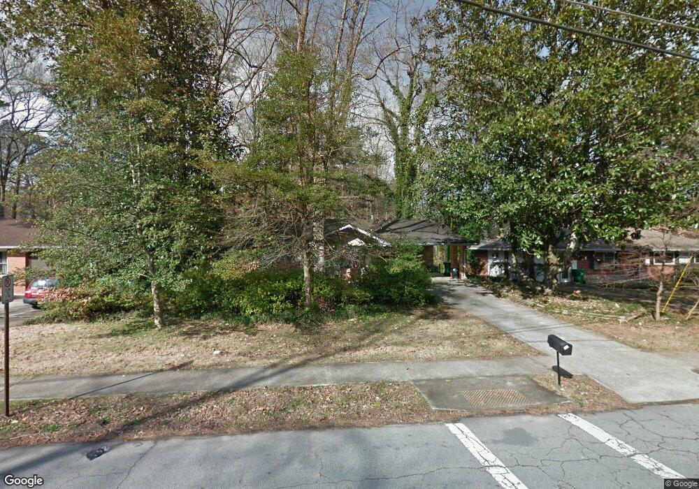
3040 Mount Olive Dr Decatur, GA 30033
North Druid Woods NeighborhoodEstimated Value: $414,223 - $461,000
3
Beds
2
Baths
1,293
Sq Ft
$346/Sq Ft
Est. Value
About This Home
This home is located at 3040 Mount Olive Dr, Decatur, GA 30033 and is currently estimated at $447,556, approximately $346 per square foot. 3040 Mount Olive Dr is a home located in DeKalb County with nearby schools including Laurel Ridge Elementary School, Druid Hills Middle School, and Druid Hills High School.
Ownership History
Date
Name
Owned For
Owner Type
Purchase Details
Closed on
Jan 18, 2005
Sold by
Houser Terry L
Bought by
Houser Terry
Current Estimated Value
Home Financials for this Owner
Home Financials are based on the most recent Mortgage that was taken out on this home.
Original Mortgage
$200,000
Outstanding Balance
$108,436
Interest Rate
6.99%
Mortgage Type
Stand Alone Second
Estimated Equity
$339,120
Create a Home Valuation Report for This Property
The Home Valuation Report is an in-depth analysis detailing your home's value as well as a comparison with similar homes in the area
Home Values in the Area
Average Home Value in this Area
Purchase History
| Date | Buyer | Sale Price | Title Company |
|---|---|---|---|
| Houser Terry | -- | -- |
Source: Public Records
Mortgage History
| Date | Status | Borrower | Loan Amount |
|---|---|---|---|
| Open | Houser Terry | $200,000 | |
| Closed | Houser Terry | $200,000 |
Source: Public Records
Tax History Compared to Growth
Tax History
| Year | Tax Paid | Tax Assessment Tax Assessment Total Assessment is a certain percentage of the fair market value that is determined by local assessors to be the total taxable value of land and additions on the property. | Land | Improvement |
|---|---|---|---|---|
| 2025 | $4,316 | $156,320 | $39,040 | $117,280 |
| 2024 | $4,226 | $147,720 | $39,040 | $108,680 |
| 2023 | $4,226 | $144,840 | $39,040 | $105,800 |
| 2022 | $3,430 | $115,360 | $39,040 | $76,320 |
| 2021 | $3,242 | $107,240 | $38,000 | $69,240 |
| 2020 | $3,267 | $108,080 | $38,000 | $70,080 |
| 2019 | $3,401 | $115,040 | $38,000 | $77,040 |
| 2018 | $2,889 | $98,120 | $38,000 | $60,120 |
| 2017 | $3,014 | $91,200 | $15,200 | $76,000 |
| 2016 | $2,859 | $90,240 | $12,760 | $77,480 |
| 2014 | $2,387 | $71,280 | $12,760 | $58,520 |
Source: Public Records
Map
Nearby Homes
- 3023 Mount Olive Dr
- 2390 Lawrenceville Hwy Unit K
- 2388 Lawrenceville Hwy Unit D
- 2386 Lawrenceville Hwy Unit G
- 2396 Lawrenceville Hwy Unit F
- 2396 Lawrenceville Hwy Unit V
- 2396 Lawrenceville Hwy
- 1263 Blueberry Trail
- 2937 Mount Olive Dr
- 2427 Lawrenceville Hwy Unit 4
- 1300 Hopkins Dr
- 3080 Turman Cir
- 3084 Turman Cir
- 3038 Flamingo Dr
- 2951 Haralson Rd
- 1931 Brian Way
- 3107 Turman Cir
- 3034 Mount Olive Dr
- 3048 Mount Olive Dr
- 3048 Mount Olive Dr
- 1275 Poinset Place Unit 9
- 3054 Mount Olive Dr
- 3037 Mount Olive Dr
- 1269 Poinset Place
- 3022 Mount Olive Dr
- 3022 Mount Olive Dr Unit 1
- 3053 Mount Olive Dr
- 3060 Mount Olive Dr
- 3029 Mount Olive Dr
- 1263 Poinset Place
- 2873 Harcourt Dr Unit 1
- 3016 Mount Olive Dr Unit 1
- 3061 Mount Olive Dr
- 3066 Mount Olive Dr Unit 1
- 1257 Poinset Place Unit 9
- 1274 Poinset Place
- 1292 Faraday Place