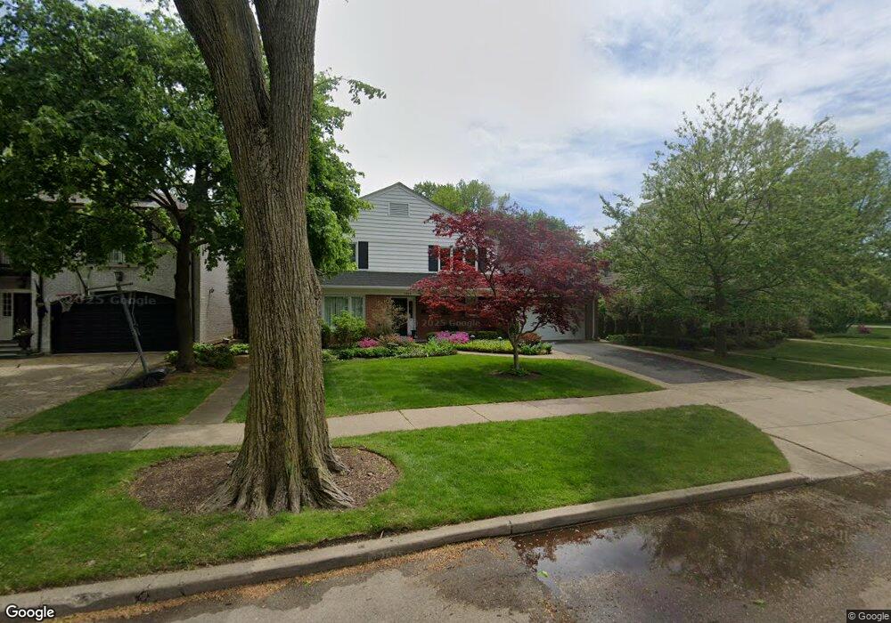
3040 Payne St Evanston, IL 60201
North Evanston NeighborhoodEstimated Value: $1,273,974 - $1,499,000
5
Beds
5
Baths
2,345
Sq Ft
$597/Sq Ft
Est. Value
About This Home
This home is located at 3040 Payne St, Evanston, IL 60201 and is currently estimated at $1,399,494, approximately $596 per square foot. 3040 Payne St is a home located in Cook County with nearby schools including Lincolnwood Elementary School, Haven Middle School, and Evanston Township High School.
Ownership History
Date
Name
Owned For
Owner Type
Purchase Details
Closed on
Aug 8, 2025
Sold by
Darragh Alexander J and Darragh Linda L
Bought by
Marut Edward I and Marut Elizabeth
Current Estimated Value
Purchase Details
Closed on
Aug 3, 1998
Sold by
Caro William A
Bought by
Darragh Alexander J and Darragh Linda L
Home Financials for this Owner
Home Financials are based on the most recent Mortgage that was taken out on this home.
Original Mortgage
$440,000
Interest Rate
6.62%
Purchase Details
Closed on
Jul 24, 1996
Sold by
Caro William A
Bought by
Caro William A and William A Caro Revocable Trust
Create a Home Valuation Report for This Property
The Home Valuation Report is an in-depth analysis detailing your home's value as well as a comparison with similar homes in the area
Home Values in the Area
Average Home Value in this Area
Purchase History
| Date | Buyer | Sale Price | Title Company |
|---|---|---|---|
| Marut Edward I | $1,450,000 | None Listed On Document | |
| Darragh Alexander J | $660,000 | -- | |
| Caro William A | -- | -- |
Source: Public Records
Mortgage History
| Date | Status | Borrower | Loan Amount |
|---|---|---|---|
| Previous Owner | Darragh Alexander J | $440,000 |
Source: Public Records
Tax History
| Year | Tax Paid | Tax Assessment Tax Assessment Total Assessment is a certain percentage of the fair market value that is determined by local assessors to be the total taxable value of land and additions on the property. | Land | Improvement |
|---|---|---|---|---|
| 2025 | $19,590 | $104,512 | $35,312 | $69,200 |
| 2024 | $19,590 | $74,526 | $29,736 | $44,790 |
| 2023 | $18,753 | $86,891 | $29,736 | $57,155 |
| 2022 | $18,753 | $86,891 | $29,736 | $57,155 |
| 2021 | $14,692 | $61,357 | $17,965 | $43,392 |
| 2020 | $14,603 | $61,357 | $17,965 | $43,392 |
| 2019 | $14,369 | $67,500 | $17,965 | $49,535 |
| 2018 | $17,018 | $65,550 | $14,868 | $50,682 |
| 2017 | $16,590 | $65,550 | $14,868 | $50,682 |
| 2016 | $15,957 | $65,550 | $14,868 | $50,682 |
| 2015 | $15,873 | $61,823 | $12,390 | $49,433 |
| 2014 | $15,737 | $61,823 | $12,390 | $49,433 |
| 2013 | $15,359 | $61,823 | $12,390 | $49,433 |
Source: Public Records
Map
Nearby Homes
- 9435 Central Park Ave
- 9433 Lincolnwood Dr
- 2951 Colfax St
- 9534 Harding Ave
- 2424 Cowper Ave
- 2439 Cowper Ave
- 2422 Grant St
- 2501 Crawford Ave
- 9200 Avers Ave
- 3131 Central St
- 3233 Central St
- 9132 Lincolnwood Dr
- 2726 Central St Unit 3D
- 1915 - 2 Grant St
- 2601 Central St Unit 406
- 2211 Foster St
- 100 Williamsburg Rd
- 2732 Lincolnwood Dr
- 2716 Ewing Ave
- 1633 Mcdaniel Ave