30405 NE 7th St Washougal, WA 98671
Estimated Value: $936,275 - $1,134,000
3
Beds
4
Baths
2,714
Sq Ft
$384/Sq Ft
Est. Value
About This Home
This home is located at 30405 NE 7th St, Washougal, WA 98671 and is currently estimated at $1,042,069, approximately $383 per square foot. 30405 NE 7th St is a home located in Clark County with nearby schools including Cape Horn Skye Elementary School, Canyon Creek Middle School, and Washougal High School.
Ownership History
Date
Name
Owned For
Owner Type
Purchase Details
Closed on
Sep 13, 2017
Sold by
Hein David D and Hein Ellen M
Bought by
Hein David D and Hein Ellen M
Current Estimated Value
Purchase Details
Closed on
Dec 10, 2009
Sold by
Purkeypyle Norman Lynn and Purkeypyle Linda Kay
Bought by
Hein David D and Hein Ellen M
Home Financials for this Owner
Home Financials are based on the most recent Mortgage that was taken out on this home.
Original Mortgage
$200,000
Outstanding Balance
$131,186
Interest Rate
5.01%
Mortgage Type
New Conventional
Estimated Equity
$910,883
Create a Home Valuation Report for This Property
The Home Valuation Report is an in-depth analysis detailing your home's value as well as a comparison with similar homes in the area
Home Values in the Area
Average Home Value in this Area
Purchase History
| Date | Buyer | Sale Price | Title Company |
|---|---|---|---|
| Hein David D | -- | None Available | |
| Hein David D | $439,000 | Clark County Title Co |
Source: Public Records
Mortgage History
| Date | Status | Borrower | Loan Amount |
|---|---|---|---|
| Open | Hein David D | $200,000 |
Source: Public Records
Tax History Compared to Growth
Tax History
| Year | Tax Paid | Tax Assessment Tax Assessment Total Assessment is a certain percentage of the fair market value that is determined by local assessors to be the total taxable value of land and additions on the property. | Land | Improvement |
|---|---|---|---|---|
| 2025 | $8,352 | $668,748 | $216,673 | $452,075 |
| 2024 | $7,172 | $822,212 | $345,594 | $476,618 |
| 2023 | $7,030 | $756,401 | $327,177 | $429,224 |
| 2022 | $6,529 | $715,171 | $279,096 | $436,075 |
| 2021 | $6,521 | $571,738 | $233,431 | $338,307 |
| 2020 | $6,139 | $538,761 | $224,297 | $314,464 |
| 2019 | $5,574 | $517,094 | $224,297 | $292,797 |
| 2018 | $5,911 | $514,822 | $0 | $0 |
| 2017 | $5,502 | $448,522 | $0 | $0 |
| 2016 | $5,391 | $439,158 | $0 | $0 |
| 2015 | $4,913 | $406,343 | $0 | $0 |
| 2014 | -- | $367,505 | $0 | $0 |
| 2013 | -- | $339,536 | $0 | $0 |
Source: Public Records
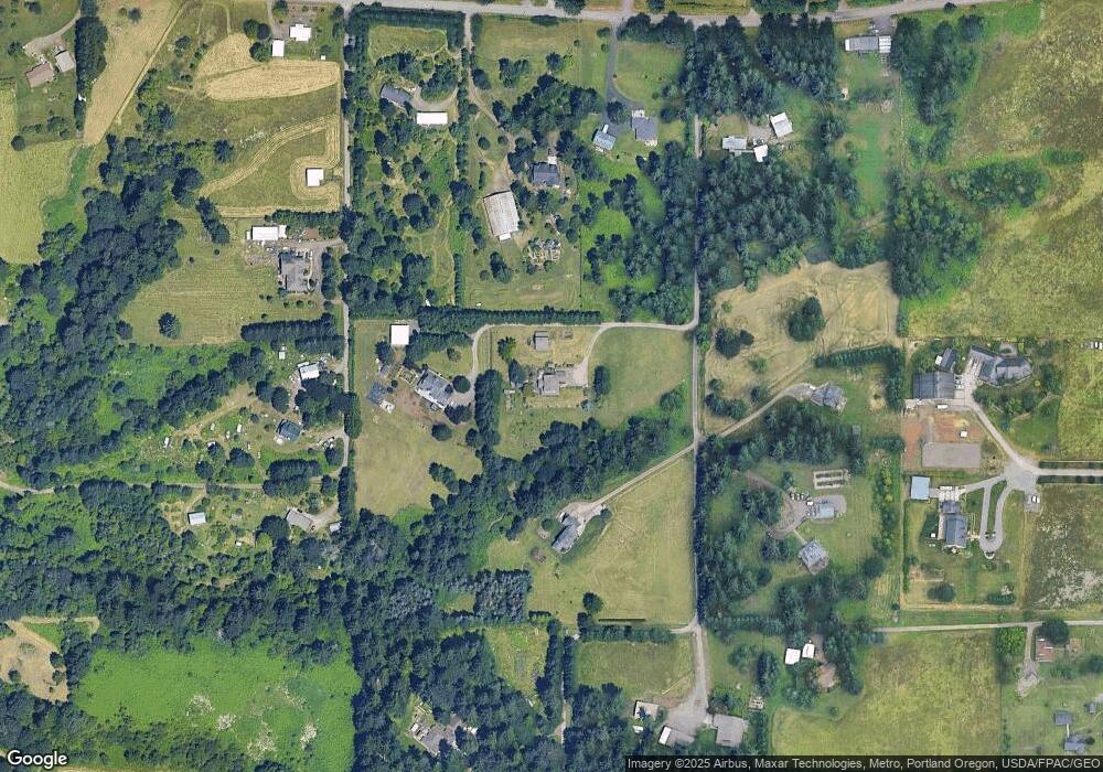
Map
Nearby Homes
- 0 NE Brown Rd Unit 1 24016587
- 0 SE Blair-Residence Rd
- 602 NE Blair Rd
- 523 NE Squire Rd
- 32320 NE Ammeter Rd
- 33111 SE Wood Dr
- 0 NE 277th Ave
- 4599 NW 71st Ave
- 33402 SE Wood Dr
- 455 W Juniper St
- 26801 NE 9th St Unit 49
- 354 W Maple St
- 3800 W 2nd St
- 3897 W 4th St
- 231 W Koa St
- 3865 W 4th St
- 331 W Koa St
- 380 W Laurel St
- 1317 NE 267th Ave
- 4014 NE Tacoma Ct
- 30303 NE 7th St
- 606 NE 305th Ave
- 30319 NE 10th St
- 620 NE 302nd Ave
- 30405 NE 10th St
- 611 NE 305th Ave
- 722 NE 302nd Ave
- 605 NE 305th Ave
- 30507 NE 10th St
- 30503 SE 5th St
- 404 NE 304th Ave
- 424 NE 312th Ave
- 30404 NE 10th St
- 606 NE 312th Ave
- 30101 NE 10th St
- 614 NE 312th Ave
- 30613 NE 10th St
- 30214 NE 10th St
- 304 NE 304th Ave
- 305 NE 304th Ave