Estimated Value: $147,082 - $189,000
3
Beds
1
Bath
1,560
Sq Ft
$107/Sq Ft
Est. Value
About This Home
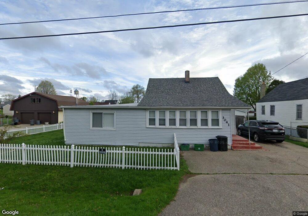
This home is located at 3041 Baker Heights, Flint, MI 48507 and is currently estimated at $166,771, approximately $106 per square foot. 3041 Baker Heights is a home located in Genesee County with nearby schools including Anderson Elementary School, McGrath Elementary School, and Grand Blanc West Middle School.
Ownership History
Date
Name
Owned For
Owner Type
Purchase Details
Closed on
Oct 12, 2019
Sold by
Archer Darlene
Bought by
Archer Darlene and Gibbs Laura
Current Estimated Value
Purchase Details
Closed on
Oct 23, 2008
Sold by
Archer Terry and Archer Darlene L
Bought by
Archer Darlene L
Purchase Details
Closed on
May 5, 2006
Sold by
Archer Phyllis Ann
Bought by
Archer Terry William and Archer Darlene Louise
Home Financials for this Owner
Home Financials are based on the most recent Mortgage that was taken out on this home.
Original Mortgage
$12,000
Interest Rate
6.54%
Mortgage Type
Purchase Money Mortgage
Create a Home Valuation Report for This Property
The Home Valuation Report is an in-depth analysis detailing your home's value as well as a comparison with similar homes in the area
Home Values in the Area
Average Home Value in this Area
Purchase History
| Date | Buyer | Sale Price | Title Company |
|---|---|---|---|
| Archer Darlene | -- | None Listed On Document | |
| Archer Darlene L | -- | None Available | |
| Archer Terry William | -- | None Available |
Source: Public Records
Mortgage History
| Date | Status | Borrower | Loan Amount |
|---|---|---|---|
| Previous Owner | Archer Terry William | $12,000 |
Source: Public Records
Tax History
| Year | Tax Paid | Tax Assessment Tax Assessment Total Assessment is a certain percentage of the fair market value that is determined by local assessors to be the total taxable value of land and additions on the property. | Land | Improvement |
|---|---|---|---|---|
| 2025 | $1,426 | $63,000 | $0 | $0 |
| 2024 | $768 | $57,500 | $0 | $0 |
| 2023 | $733 | $50,400 | $0 | $0 |
| 2022 | $1,282 | $46,900 | $0 | $0 |
| 2021 | $1,264 | $44,500 | $0 | $0 |
| 2020 | $676 | $37,000 | $0 | $0 |
| 2019 | $666 | $36,100 | $0 | $0 |
| 2018 | $1,156 | $32,100 | $0 | $0 |
| 2017 | $1,118 | $29,200 | $0 | $0 |
| 2016 | $1,096 | $27,300 | $0 | $0 |
| 2015 | $1,048 | $24,800 | $0 | $0 |
| 2012 | -- | $26,300 | $26,300 | $0 |
Source: Public Records
Map
Nearby Homes
- 00 Durant Heights
- 00 Sloan Heights
- 1234 Fisher Heights
- VL S Saginaw St
- 2340 Rollins St
- 6101 Woodsdale Dr
- 6085 Westdale Dr
- 6100 Lincoln Blvd
- 2231 Pauline Cir
- 01 S Saginaw St
- 000 S Saginaw St
- 00 S Saginaw St
- 0 Helen Ave Unit 20251047188
- 2374 Bradford Dr
- 6302 Springdale Blvd
- Lot C Chapin St
- Lot B Chapin St
- Lot A Chapin St
- 00 E Maple Ave
- 5038 Palomar Dr
- 3029 Baker Heights
- 3040 Strong Heights
- 3046 Strong Heights
- 3032 Strong Heights
- 3023 Baker Heights
- 3034 Baker Heights
- 3034 Baker Heights
- 3022 Strong Heights
- 3056 Strong Heights
- 3022 Baker Heights
- 3044 Baker Heights
- VAC Strong Heights
- 3052 Baker Heights
- 3063 Baker Heights
- 3043 Strong Heights
- 3033 Strong Heights
- 3029 Strong Heights
- 3058 Baker Heights
- 3049 Fisher Heights
- 3053 Strong Heights
Your Personal Tour Guide
Ask me questions while you tour the home.