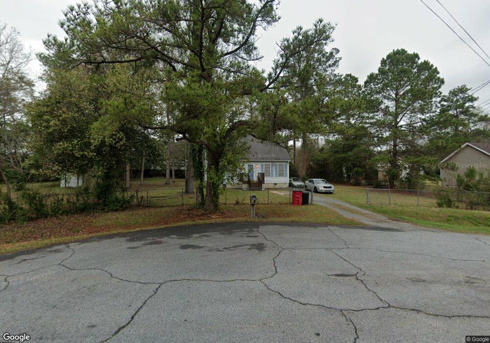
3041 Reynolds Dr Macon, GA 31206
Estimated Value: $78,000 - $130,714
3
Beds
2
Baths
1,020
Sq Ft
$103/Sq Ft
Est. Value
About This Home
This home is located at 3041 Reynolds Dr, Macon, GA 31206 and is currently estimated at $104,929, approximately $102 per square foot. 3041 Reynolds Dr is a home located in Bibb County with nearby schools including Veterans Elementary School, Southwest High School, and Gilead Christian Academy.
Ownership History
Date
Name
Owned For
Owner Type
Purchase Details
Closed on
Mar 25, 2005
Sold by
Jackson Alphonso
Bought by
Holt Shunderlon M
Current Estimated Value
Home Financials for this Owner
Home Financials are based on the most recent Mortgage that was taken out on this home.
Original Mortgage
$55,827
Outstanding Balance
$28,133
Interest Rate
5.62%
Mortgage Type
FHA
Estimated Equity
$76,796
Purchase Details
Closed on
Sep 7, 2004
Purchase Details
Closed on
May 14, 1998
Create a Home Valuation Report for This Property
The Home Valuation Report is an in-depth analysis detailing your home's value as well as a comparison with similar homes in the area
Home Values in the Area
Average Home Value in this Area
Purchase History
| Date | Buyer | Sale Price | Title Company |
|---|---|---|---|
| Holt Shunderlon M | $55,000 | None Available | |
| -- | $60,600 | -- | |
| -- | $57,000 | -- |
Source: Public Records
Mortgage History
| Date | Status | Borrower | Loan Amount |
|---|---|---|---|
| Open | Holt Shunderlon M | $55,827 |
Source: Public Records
Tax History Compared to Growth
Tax History
| Year | Tax Paid | Tax Assessment Tax Assessment Total Assessment is a certain percentage of the fair market value that is determined by local assessors to be the total taxable value of land and additions on the property. | Land | Improvement |
|---|---|---|---|---|
| 2025 | $678 | $34,588 | $3,000 | $31,588 |
| 2024 | $701 | $34,588 | $3,000 | $31,588 |
| 2023 | $30 | $26,180 | $2,400 | $23,780 |
| 2022 | $550 | $22,900 | $3,886 | $19,014 |
| 2021 | $383 | $17,085 | $2,720 | $14,365 |
| 2020 | $204 | $12,265 | $1,943 | $10,322 |
| 2019 | $206 | $12,265 | $1,943 | $10,322 |
| 2018 | $483 | $12,051 | $1,943 | $10,108 |
| 2017 | $189 | $12,051 | $1,943 | $10,108 |
| 2016 | $175 | $12,051 | $1,943 | $10,108 |
| 2015 | $248 | $12,051 | $1,943 | $10,108 |
| 2014 | $336 | $12,051 | $1,943 | $10,108 |
Source: Public Records
Map
Nearby Homes
- 3078 Alfred Dr
- 2972 Richard Dr
- 2960 Jadan Place
- 2801 Deeb Dr
- 2768 Nancy Dr
- 2769 Nancy Dr
- 2770 Bonnie Ave
- 5711 Sterling Place
- 2704 Reynolds Dr
- 2830 Village Green Dr
- 5756 Edwina Dr
- 2824 Village Green Dr
- 2841 Shamrock Dr
- 2995 Virginia Dr
- 5746 Sterling Place
- 5780 Edwina Dr
- 2765 Alden St
- 2775 Village Green Ln
- 2868 Barrett Ave
- 5771 Satterfield Dr
- 5577 Dale Dr
- 3011 Reynolds Dr
- 3065 Reynolds Dr
- 3080 Alfred Dr
- 3089 Alfred Dr
- 3058 Reynolds Dr
- 5569 Dale Dr
- 3026 Reynolds Dr
- 3042 Reynolds Dr
- 2995 Reynolds Dr
- 3012 Reynolds Dr
- 3072 Alfred Dr
- 5565 Dale Dr
- 2996 Richard Dr
- 2983 Reynolds Dr
- 3069 Alfred Dr
- 2996 Reynolds Dr
- 3066 Alfred Dr
- 0 Dale Dr
- 5557 Dale Dr