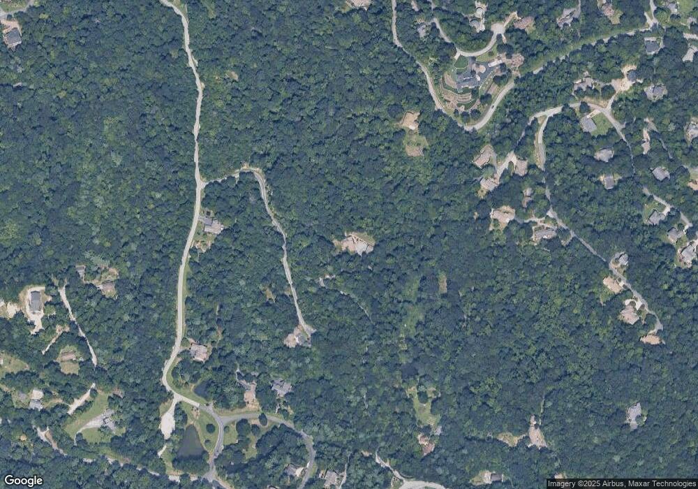
3042 Hebron Rd Hendersonville, NC 28739
Estimated Value: $1,087,371 - $1,170,000
--
Bed
4
Baths
3,297
Sq Ft
$340/Sq Ft
Est. Value
About This Home
This home is located at 3042 Hebron Rd, Hendersonville, NC 28739 and is currently estimated at $1,120,843, approximately $339 per square foot. 3042 Hebron Rd is a home located in Henderson County with nearby schools including Hendersonville Middle School and Hendersonville High School.
Ownership History
Date
Name
Owned For
Owner Type
Purchase Details
Closed on
Jan 9, 2008
Sold by
Not Provided
Bought by
Purkey William W and Purkey Elizabeth T
Current Estimated Value
Home Financials for this Owner
Home Financials are based on the most recent Mortgage that was taken out on this home.
Original Mortgage
$417,000
Outstanding Balance
$261,706
Interest Rate
6.05%
Mortgage Type
Cash
Estimated Equity
$859,137
Create a Home Valuation Report for This Property
The Home Valuation Report is an in-depth analysis detailing your home's value as well as a comparison with similar homes in the area
Home Values in the Area
Average Home Value in this Area
Purchase History
| Date | Buyer | Sale Price | Title Company |
|---|---|---|---|
| Purkey William W | $565,000 | -- |
Source: Public Records
Mortgage History
| Date | Status | Borrower | Loan Amount |
|---|---|---|---|
| Open | Purkey William W | $417,000 |
Source: Public Records
Tax History Compared to Growth
Tax History
| Year | Tax Paid | Tax Assessment Tax Assessment Total Assessment is a certain percentage of the fair market value that is determined by local assessors to be the total taxable value of land and additions on the property. | Land | Improvement |
|---|---|---|---|---|
| 2025 | $4,216 | $809,300 | $206,800 | $602,500 |
| 2024 | $4,216 | $809,300 | $206,800 | $602,500 |
| 2023 | $4,216 | $809,300 | $206,800 | $602,500 |
| 2022 | $4,102 | $620,600 | $199,800 | $420,800 |
| 2021 | $4,102 | $620,600 | $199,800 | $420,800 |
| 2020 | $4,102 | $620,600 | $0 | $0 |
| 2019 | $4,102 | $620,600 | $0 | $0 |
| 2018 | $3,977 | $594,000 | $0 | $0 |
| 2017 | $3,920 | $594,000 | $0 | $0 |
| 2016 | $3,920 | $594,000 | $0 | $0 |
| 2015 | -- | $594,000 | $0 | $0 |
| 2014 | -- | $548,500 | $0 | $0 |
Source: Public Records
Map
Nearby Homes
- 150 Thistlewynd Trail
- 210 Thistlewynd Trail
- 85-91 Flameleaf Ln
- 0000 Laurel Park Hwy
- 270 Somersby Pkwy Unit 8
- 161 Birchwood Dr
- 98 Flameleaf Ln
- 9999 Hemlock Trail
- 000 Hemlock Trail Unit 51
- 461 Somersby Pkwy
- 686 Crossvine Trail Unit 4A-C
- LOT A Deerwood Ln
- 109 Ladys Fern Trail
- 602 Fleetwood Plaza
- 1401 Fleetwood Plaza Unit 1
- 204 Fleetwood Plaza
- 185 Ladys Fern Trail Unit 8-G
- 4305 Laurel Park Hwy
- 35 Ladys Fern Trail
- 9999 Red Bud Ln Unit 13
- 194 Thistlewind Trail
- 210 Thistlewynd Trail Unit 13 Ph1 Sec B
- 258 Somersby Pkwy
- 4146 Laurel Park Hwy
- 250 Somersby Pkwy
- 250 Somersby Pkwy Unit Lot 6-B
- 250 Somersby Pkwy Unit 6 Section-B
- 245 Sweetgum Trail
- 210 Somersby Pkwy
- 210 Somersby Pkwy Unit 5B
- 109 Blackberry Place
- 235 Sweetgum Trail
- 55 Flameleaf Ln
- 72 Somersby Pkwy
- 41 Flameleaf Ln
- 85 Flameleaf Ln
- 85 Flameleaf Ln Unit 9
- 31 Flameleaf Ln
- 1027 Somersby Pkwy
- TBD Somersby Pkwy Unit E25
