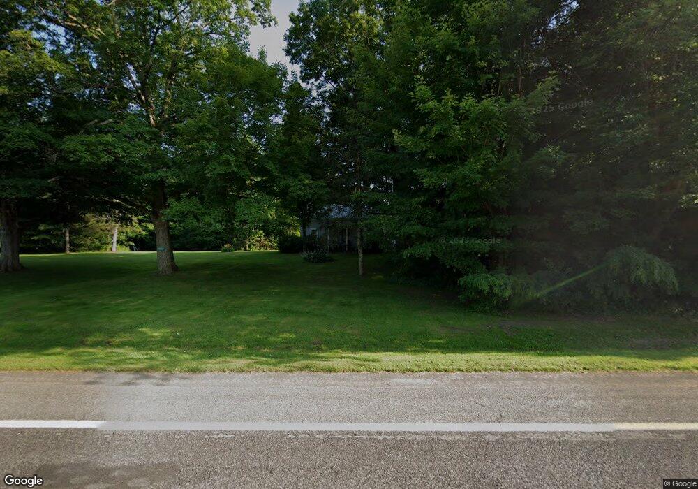
3043 State Route 13 Pulaski, NY 13142
Estimated Value: $184,000 - $338,000
3
Beds
1
Bath
2,000
Sq Ft
$135/Sq Ft
Est. Value
About This Home
This home is located at 3043 State Route 13, Pulaski, NY 13142 and is currently estimated at $269,028, approximately $134 per square foot. 3043 State Route 13 is a home located in Oswego County with nearby schools including Altmar-Parish-Williamstown Elementary School and Altmar-Parish-Williamstown Junior/Senior High School.
Ownership History
Date
Name
Owned For
Owner Type
Purchase Details
Closed on
Jan 14, 2022
Sold by
Connors James P
Bought by
Connors James Paul and Connors Jessica Elizabeth
Current Estimated Value
Home Financials for this Owner
Home Financials are based on the most recent Mortgage that was taken out on this home.
Original Mortgage
$144,000
Outstanding Balance
$123,829
Interest Rate
3.11%
Mortgage Type
New Conventional
Estimated Equity
$145,199
Purchase Details
Closed on
Dec 23, 2005
Sold by
Wilson David L and Wilson Carol B
Bought by
Haab Glenn W and Haab Deborah A
Purchase Details
Closed on
Oct 7, 2005
Sold by
Wilson David L and Wilson Carol B
Bought by
Petroski Edward M and Petroski Edward M
Purchase Details
Closed on
Jan 19, 1996
Create a Home Valuation Report for This Property
The Home Valuation Report is an in-depth analysis detailing your home's value as well as a comparison with similar homes in the area
Home Values in the Area
Average Home Value in this Area
Purchase History
| Date | Buyer | Sale Price | Title Company |
|---|---|---|---|
| Connors James Paul | -- | Independent Title Agency Llc | |
| Haab Glenn W | $150,000 | None Available | |
| Petroski Edward M | $10,000 | None Available | |
| -- | $50,000 | -- |
Source: Public Records
Mortgage History
| Date | Status | Borrower | Loan Amount |
|---|---|---|---|
| Open | Connors James Paul | $144,000 |
Source: Public Records
Tax History Compared to Growth
Tax History
| Year | Tax Paid | Tax Assessment Tax Assessment Total Assessment is a certain percentage of the fair market value that is determined by local assessors to be the total taxable value of land and additions on the property. | Land | Improvement |
|---|---|---|---|---|
| 2024 | $4,330 | $175,000 | $20,600 | $154,400 |
| 2023 | $4,374 | $175,000 | $20,600 | $154,400 |
| 2022 | $4,366 | $175,000 | $20,600 | $154,400 |
| 2021 | $4,522 | $175,000 | $20,600 | $154,400 |
| 2020 | $4,597 | $150,000 | $17,800 | $132,200 |
| 2019 | $4,555 | $150,000 | $17,800 | $132,200 |
| 2018 | $4,555 | $150,000 | $17,800 | $132,200 |
| 2017 | $4,557 | $150,000 | $17,800 | $132,200 |
| 2016 | $4,484 | $150,000 | $17,800 | $132,200 |
| 2015 | -- | $150,000 | $17,800 | $132,200 |
| 2014 | -- | $150,000 | $17,800 | $132,200 |
Source: Public Records
Map
Nearby Homes
- 3056 New York 13
- 503 Centerville Rd
- 503 Centerville Rd
- 620 County Route 48
- 364 Towsley Rd
- 0 State Route 13 Unit 23013859
- 3464 State Route 13
- 642 Towne Rd
- 216 Main St
- 242 Main St
- 2624 County Route 2
- 0 Cr-52 Unit S1632950
- 0 Halsey Rd
- 397 County Route 28
- 2936 County Route 2
- 109 County Route 28
- 3063 County Road 22
- 1965 Mexico St
- 16-18 E Lamb Rd Unit 16
- LOT 63 E Lamb Rd
- 3044 State Route 13
- 3063 State Route 13
- 1195 Albion Cross Rd
- 1188 Albion Cross Rd
- 3085 State Route 13
- 1155 Albion Cross Rd
- 00 State Route 13
- 3135 State Route 13
- 1129 Albion Cross Rd
- 2954 State Route 13
- 73 Riverside Pointe Dr
- 1137 Albion Cross Rd Unit CROSS
- 1137 Albion Cross Rd
- 3144 State Route 13
- 79 Riverside Pointe Dr
- 55 Riverside Point Dr
- 49 Riverside Point Dr
- 1119 Albion Cross Rd
- 3152 State Route 13
- 3111 State Route 13