30431 Tom Rd Albemarle, NC 28001
Estimated Value: $297,000 - $378,624
2
Beds
3
Baths
1,358
Sq Ft
$241/Sq Ft
Est. Value
About This Home
This home is located at 30431 Tom Rd, Albemarle, NC 28001 and is currently estimated at $327,208, approximately $240 per square foot. 30431 Tom Rd is a home located in Stanly County with nearby schools including Badin Elementary School, North Stanly Middle School, and North Stanly High School.
Ownership History
Date
Name
Owned For
Owner Type
Purchase Details
Closed on
Jul 16, 2012
Sold by
Ohio Investments Llc
Bought by
Swaringen Dusty L
Current Estimated Value
Home Financials for this Owner
Home Financials are based on the most recent Mortgage that was taken out on this home.
Original Mortgage
$121,500
Outstanding Balance
$88,029
Interest Rate
4.75%
Mortgage Type
Adjustable Rate Mortgage/ARM
Estimated Equity
$239,179
Purchase Details
Closed on
Feb 13, 2012
Sold by
Secretary Of Housing & Urban Development
Bought by
Ohio Investments Llc
Purchase Details
Closed on
Aug 23, 2011
Sold by
Shaver Shonda K and Shaver Gary E
Bought by
Secretary Of Housing & Urban Development
Purchase Details
Closed on
Dec 13, 2005
Sold by
Dennis Paul Raeford and Dennis Kasey L
Bought by
Shaver Gary Eugene and Shaver Shonda Kay
Create a Home Valuation Report for This Property
The Home Valuation Report is an in-depth analysis detailing your home's value as well as a comparison with similar homes in the area
Purchase History
We collect this data history from publicly available records. To have your information removed, we recommend requesting removal directly through your county’s website.
| Date | Buyer | Sale Price | Title Company |
|---|---|---|---|
| Swaringen Dusty L | $121,500 | None Available | |
| Ohio Investments Llc | -- | None Available | |
| Secretary Of Housing & Urban Development | $209,222 | None Available | |
| Shaver Gary Eugene | $22,000 | None Available |
Source: Public Records
Mortgage History
We collect this data history from publicly available records. To have your information removed, we recommend requesting removal directly through your county’s website.
| Date | Status | Borrower | Loan Amount |
|---|---|---|---|
| Open | Swaringen Dusty L | $121,500 |
Source: Public Records
Tax History
| Year | Tax Paid | Tax Assessment Tax Assessment Total Assessment is a certain percentage of the fair market value that is determined by local assessors to be the total taxable value of land and additions on the property. | Land | Improvement |
|---|---|---|---|---|
| 2025 | $2,052 | $336,449 | $110,560 | $225,889 |
| 2024 | $1,783 | $251,131 | $74,250 | $176,881 |
| 2023 | $1,880 | $251,131 | $74,250 | $176,881 |
| 2022 | $1,880 | $251,131 | $74,250 | $176,881 |
| 2021 | $1,878 | $251,131 | $74,250 | $176,881 |
| 2020 | $1,834 | $228,889 | $64,890 | $163,999 |
| 2019 | $1,847 | $228,889 | $64,890 | $163,999 |
| 2018 | $1,762 | $228,889 | $64,890 | $163,999 |
| 2017 | $1,762 | $228,889 | $64,890 | $163,999 |
| 2016 | $1,682 | $218,376 | $60,770 | $157,606 |
| 2015 | $1,769 | $218,376 | $60,770 | $157,606 |
| 2014 | $1,716 | $218,376 | $60,770 | $157,606 |
Source: Public Records
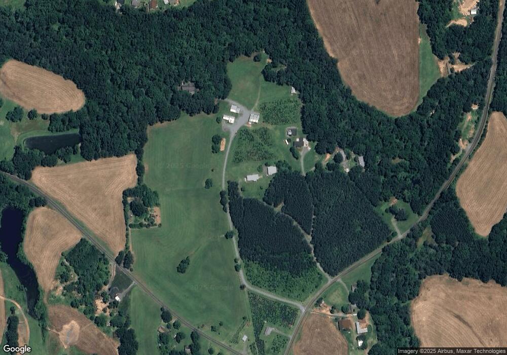
Map
Nearby Homes
- 44134 Vickers Store Rd
- 610 Mountain Place
- 2705 Plantation Way
- 42629 Greenview Dr
- 527 Smokehouse Ln
- 413 Homestead Ln
- 42917a N Carolina 24
- 2335 E Main St
- 1004 Speight Rd
- 1008 Speight Rd
- 1010 Speight Rd
- 1014 Speight Rd
- 113 Pembroke Way Unit 92
- 2312 Bulwarks Ct Unit 10
- 32286 Laton Rd
- 151 Pembroke Way Unit 81p
- 144 Pembroke Way Unit 27p
- 142 Pembroke Way Unit 26p
- 128 Pembroke Way Unit 19
- 1903 Midwood Dr
- 30431 Tom Rd Unit A
- 30457 Tom Rd Unit D
- 30457 Tom Rd Unit C
- 30457 Tom Rd Unit A
- 30468 Tom Rd
- 43171 Vickers Store Rd
- 43151 Vickers Store Rd
- 30503 Tom Rd
- 43174 Vickers Store Rd
- 43103 Vickers Store Rd
- 43134 Vickers Store Rd
- 44032 Vickers Store Rd
- 0 Tom Rd
- 642 Mountain Place
- 640 Mountain Place
- 638 Mountain Place
- Lot 118 Mountain Place
- 636 Mountain Place Unit 114
- Lot 114 Mountain Place
- 648 Mountain Place
Your Personal Tour Guide
Ask me questions while you tour the home.