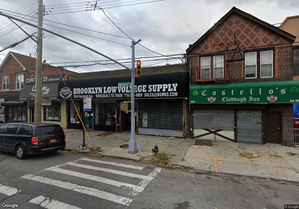
3044 Nostrand Ave New York, NY 11229
Madison NeighborhoodEstimated Value: $1,322,778
--
Bed
2
Baths
4,000
Sq Ft
$331/Sq Ft
Est. Value
About This Home
This home is located at 3044 Nostrand Ave, New York, NY 11229 and is currently estimated at $1,322,778, approximately $330 per square foot. 3044 Nostrand Ave is a home located in Kings County with nearby schools including PS 222 Katherine R Snyder, Jhs 234 Arthur W Cunningham, and James Madison High School.
Ownership History
Date
Name
Owned For
Owner Type
Purchase Details
Closed on
Apr 14, 2005
Sold by
Diamond Bernard
Bought by
United Properties Of N Y #3 Llc
Current Estimated Value
Home Financials for this Owner
Home Financials are based on the most recent Mortgage that was taken out on this home.
Original Mortgage
$499,000
Outstanding Balance
$260,341
Interest Rate
5.95%
Mortgage Type
Commercial
Estimated Equity
$1,023,211
Purchase Details
Closed on
Jun 29, 1994
Sold by
Diamond Bernard and Diamond Adrianne
Bought by
Diamond Bernard
Create a Home Valuation Report for This Property
The Home Valuation Report is an in-depth analysis detailing your home's value as well as a comparison with similar homes in the area
Home Values in the Area
Average Home Value in this Area
Purchase History
| Date | Buyer | Sale Price | Title Company |
|---|---|---|---|
| United Properties Of N Y #3 Llc | $600,000 | -- | |
| Diamond Bernard | -- | Commonwealth Land Title Ins |
Source: Public Records
Mortgage History
| Date | Status | Borrower | Loan Amount |
|---|---|---|---|
| Open | United Properties Of N Y #3 Llc | $499,000 |
Source: Public Records
Tax History Compared to Growth
Tax History
| Year | Tax Paid | Tax Assessment Tax Assessment Total Assessment is a certain percentage of the fair market value that is determined by local assessors to be the total taxable value of land and additions on the property. | Land | Improvement |
|---|---|---|---|---|
| 2025 | $19,742 | $221,850 | $68,400 | $153,450 |
| 2024 | $19,742 | $203,850 | $68,400 | $135,450 |
| 2023 | $19,259 | $211,500 | $68,400 | $143,100 |
| 2022 | $18,691 | $191,250 | $68,400 | $122,850 |
| 2021 | $15,688 | $146,700 | $68,400 | $78,300 |
| 2020 | $9,131 | $176,400 | $68,400 | $108,000 |
| 2019 | $17,657 | $176,400 | $68,400 | $108,000 |
| 2018 | $18,499 | $175,950 | $68,400 | $107,550 |
| 2017 | $17,364 | $165,150 | $68,400 | $96,750 |
| 2016 | $15,369 | $145,350 | $68,400 | $76,950 |
| 2015 | $18,845 | $176,850 | $68,400 | $108,450 |
| 2014 | $18,845 | $241,200 | $68,400 | $172,800 |
Source: Public Records
Map
Nearby Homes
- 1721 E 29th St
- 1711 Gerritsen Ave
- 2988 Nostrand Ave
- 1747 Stuart St
- 1715 Burnett St
- 1746 Gerritsen Ave
- 1664 Madison Place
- 2991 Quentin Rd
- 1579 E 28th St
- 2810 Avenue R
- 2922 Nostrand Ave Unit 5C
- 2922 Nostrand Ave Unit M3
- 3165 Nostrand Ave Unit 1N
- 3165 Nostrand Ave Unit 2L
- 3165 Nostrand Ave Unit 4P
- 3165 Nostrand Ave Unit 4V
- 3165 Nostrand Ave Unit 1G
- 3165 Nostrand Ave Unit 1S
- 3165 Nostrand Ave Unit 1P
- 1837 Burnett St
- 3048 Nostrand Ave
- 3042 Nostrand Ave
- 2913 Quentin Rd
- 2909-2911 Quentin Rd
- 2907 Quentin Rd
- 3030-3040 Nostrand Ave
- 1671 E 29th St
- 2901 Quentin Rd
- 2920 Quentin Rd
- 1663 E 29th St
- 3056 Nostrand Ave
- 3058 Nostrand Ave
- 3045-3055 Nostrand Ave
- 2912 Quentin Rd
- 3060 Nostrand Ave
- 1657 E 29th St
- 2910 Quentin Rd
- 3062 Nostrand Ave
- 2906 Quentin Rd
- 3061 Nostrand Ave