3045 Barber Rd Norton, OH 44203
Estimated Value: $283,584
--
Bed
1
Bath
--
Sq Ft
1.5
Acres
About This Home
This home is located at 3045 Barber Rd, Norton, OH 44203 and is currently estimated at $283,584. 3045 Barber Rd is a home located in Summit County with nearby schools including Norton Primary Elementary School, Norton Middle School, and Norton High School.
Ownership History
Date
Name
Owned For
Owner Type
Purchase Details
Closed on
Apr 28, 2025
Sold by
Barber Rd Llc
Bought by
Parvin Enterprises Llc
Current Estimated Value
Purchase Details
Closed on
Jul 2, 2024
Sold by
Smith Vickie L and Bowling Chad J
Bought by
Barber Rd Llc
Purchase Details
Closed on
Jun 24, 2024
Sold by
Smith Vickie L and Bowling Chad J
Bought by
Barber Rd Llc
Purchase Details
Closed on
May 10, 2016
Sold by
Tomko Ii George F and Seabeck Debra L
Bought by
Smith Vickie L and Bwling Chad J
Purchase Details
Closed on
Apr 30, 2008
Sold by
Tomko George E
Bought by
Tomko George E and George E Tomko Trust
Purchase Details
Closed on
Jul 27, 1999
Sold by
Tomko George E
Bought by
Tomko George E and The George E Tomko Trust
Create a Home Valuation Report for This Property
The Home Valuation Report is an in-depth analysis detailing your home's value as well as a comparison with similar homes in the area
Home Values in the Area
Average Home Value in this Area
Purchase History
| Date | Buyer | Sale Price | Title Company |
|---|---|---|---|
| Parvin Enterprises Llc | -- | None Listed On Document | |
| Barber Rd Llc | $275,000 | None Listed On Document | |
| Barber Rd Llc | $275,000 | None Listed On Document | |
| Smith Vickie L | $375,000 | First Security Title | |
| Tomko George E | -- | Attorney | |
| Tomko George E | -- | -- |
Source: Public Records
Tax History Compared to Growth
Tax History
| Year | Tax Paid | Tax Assessment Tax Assessment Total Assessment is a certain percentage of the fair market value that is determined by local assessors to be the total taxable value of land and additions on the property. | Land | Improvement |
|---|---|---|---|---|
| 2025 | $1,183 | $19,712 | $19,152 | $560 |
| 2024 | $1,183 | $19,712 | $19,152 | $560 |
| 2023 | $5,194 | $86,559 | $14,616 | $71,943 |
| 2022 | $1,088 | $16,520 | $15,960 | $560 |
| 2021 | $5,742 | $74,407 | $12,180 | $62,227 |
| 2020 | $5,532 | $16,520 | $15,960 | $560 |
| 2019 | $6,094 | $21,170 | $16,090 | $5,080 |
| 2018 | $6,033 | $21,170 | $16,090 | $5,080 |
| 2017 | $1,085 | $21,170 | $16,090 | $5,080 |
| 2016 | $3,875 | $15,010 | $14,630 | $380 |
| 2015 | $1,085 | $15,010 | $14,630 | $380 |
| 2014 | $1,068 | $15,010 | $14,630 | $380 |
| 2013 | $934 | $12,440 | $12,440 | $0 |
Source: Public Records
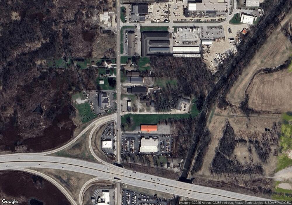
Map
Nearby Homes
- 3007 Wilbanks Dr
- 1960 Newton St
- 2995 Wilbanks Dr
- 250 Evergreen St
- 1924 Caroline Ave
- 213 Hermann St
- 2881 Wilbanks Dr
- 137 Hermann St
- 3649 Stradley Cir
- 2767 Steeb Cir
- 146 Hermann St
- 3141 Fair Oaks Dr
- 3658 Knecht Rd
- 636 Wesleyan Ave
- 1515 Grand Blvd
- 2065 Wadsworth Rd
- 277 Glenn St
- 818 N Summit St
- 2783 Shellhart Rd
- 645 Madison Ave
- 3016 Barber Rd
- 3034 Barber Rd
- 3011 Barber Rd
- 2970 Barber Rd
- 3002 Barber Rd
- 2994 Barber Rd
- 2960 2970 Barber Rd
- 2960 Barber Rd
- 3355 Barber Rd
- 3160 Barber Rd
- 2914 Barber Rd
- V/L Barber Rd
- 2890 Barber Rd
- 2979 Clark Mill Rd
- 2885 Clark Mill Rd
- 3077 Clark Mill Rd
- 2963 Clark Mill Rd
- 2951 Clark Mill Rd
- 2987 Clark Mill Rd
- 3261 Barber Rd