3045 Kari Brook Ln Monroe, GA 30655
Estimated Value: $581,053 - $657,000
Studio
1
Bath
3,146
Sq Ft
$196/Sq Ft
Est. Value
About This Home
This home is located at 3045 Kari Brook Ln, Monroe, GA 30655 and is currently estimated at $616,263, approximately $195 per square foot. 3045 Kari Brook Ln is a home located in Walton County with nearby schools including Walnut Grove Elementary School, Youth Middle School, and Walnut Grove High School.
Ownership History
Date
Name
Owned For
Owner Type
Purchase Details
Closed on
Nov 3, 1999
Sold by
Hearthstone Associates
Bought by
Drake James S and Drake Jeana
Current Estimated Value
Home Financials for this Owner
Home Financials are based on the most recent Mortgage that was taken out on this home.
Original Mortgage
$239,900
Outstanding Balance
$69,532
Interest Rate
7.76%
Mortgage Type
New Conventional
Estimated Equity
$546,731
Purchase Details
Closed on
Nov 17, 1997
Sold by
Hearthstone Assoc
Bought by
Drake James S and Drake Jean A
Home Financials for this Owner
Home Financials are based on the most recent Mortgage that was taken out on this home.
Original Mortgage
$28,000
Interest Rate
7.27%
Mortgage Type
New Conventional
Create a Home Valuation Report for This Property
The Home Valuation Report is an in-depth analysis detailing your home's value as well as a comparison with similar homes in the area
Home Values in the Area
Average Home Value in this Area
Purchase History
| Date | Buyer | Sale Price | Title Company |
|---|---|---|---|
| Drake James S | -- | -- | |
| Drake James S | $56,000 | -- |
Source: Public Records
Mortgage History
| Date | Status | Borrower | Loan Amount |
|---|---|---|---|
| Open | Drake James S | $239,900 | |
| Previous Owner | Drake James S | $28,000 |
Source: Public Records
Tax History
| Year | Tax Paid | Tax Assessment Tax Assessment Total Assessment is a certain percentage of the fair market value that is determined by local assessors to be the total taxable value of land and additions on the property. | Land | Improvement |
|---|---|---|---|---|
| 2025 | $1,962 | $213,684 | $42,720 | $170,964 |
| 2024 | $1,962 | $209,244 | $42,720 | $166,524 |
| 2023 | $1,960 | $203,764 | $42,720 | $161,044 |
| 2022 | $1,781 | $182,524 | $30,520 | $152,004 |
| 2021 | $1,805 | $164,644 | $30,520 | $134,124 |
| 2020 | $1,742 | $153,884 | $24,400 | $129,484 |
| 2019 | $4,420 | $143,124 | $24,400 | $118,724 |
| 2018 | $4,336 | $143,124 | $24,400 | $118,724 |
| 2017 | $4,749 | $137,844 | $24,400 | $113,444 |
| 2016 | $4,078 | $127,456 | $24,400 | $103,056 |
| 2015 | $3,950 | $118,736 | $24,400 | $94,336 |
| 2014 | $3,510 | $101,708 | $20,360 | $81,348 |
Source: Public Records
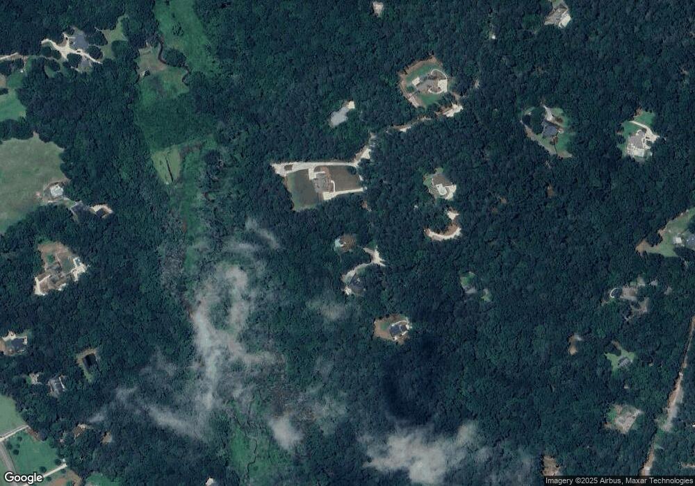
Map
Nearby Homes
- 3055 Kari Brook Ln
- 2112 Meadowood Cove
- Riley A.3 2 Side Entry Plan at Nunnally Farm Rd
- 492 Nunnally Farm Rd
- 543 Sterling Water Dr
- Edgefield Plan at Pinehurst Estates
- Roanoke Plan at Pinehurst Estates
- Charleston Plan at Pinehurst Estates
- Waverly Plan at Pinehurst Estates
- Colfax Plan at Pinehurst Estates
- McDowell Plan at Pinehurst Estates
- 235 Bella Dr
- 182 Bella Dr
- 182 Bella Dr
- 635 Nunnally Farm Rd
- 43 Belmont Ct
- 83 Bella Dr
- 6212 Waters Edge Dr
- 4335 Lakeside Blvd Unit 6
- 172 Iroquois Ct
- 3035 Kari Brook Ln
- 3030 Kari Brook Ln
- 3060 Kari Brook Ln Unit 5
- 3060 Kari Brook Ln
- 3050 Kari Brook Ln
- 3025 Kari Brook Ln
- 3015 Kari Brook Ln
- 2173 Laurel Gate Ln
- 3020 Kari Brook Ln
- 2183 Laurel Gate Ln
- 2163 Laurel Gate Ln
- 2160 Kari Brook Dr
- 365 Nunnally Farm Rd
- 2113 Laurel Gate Ln
- 409 Nunnally Farm Rd
- 2123 Laurel Gate Ln
- 405 Nunnally Farm Rd
- 1751 H D Atha Rd
- 3010 Kari Brook Ln
- 2143 Laurel Gate Ln
Your Personal Tour Guide
Ask me questions while you tour the home.