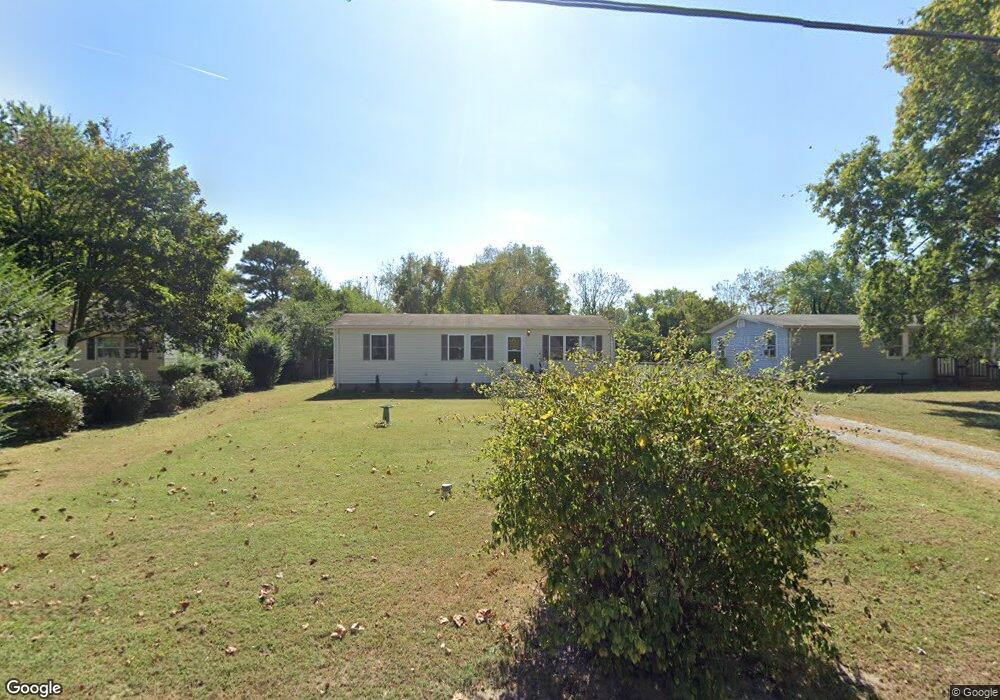
30461 Bennett Rd Salisbury, MD 21804
North Salisbury NeighborhoodEstimated Value: $178,474 - $254,000
Studio
1
Bath
1,012
Sq Ft
$226/Sq Ft
Est. Value
About This Home
This home is located at 30461 Bennett Rd, Salisbury, MD 21804 and is currently estimated at $228,869, approximately $226 per square foot. 30461 Bennett Rd is a home located in Wicomico County with nearby schools including West Salisbury Elementary School, North Salisbury Elementary School, and Wicomico Middle School.
Ownership History
Date
Name
Owned For
Owner Type
Purchase Details
Closed on
Mar 14, 2018
Sold by
Miller Thomas J and Leggs Thomas J
Bought by
Miller Thomas J and Miller Pamela L
Current Estimated Value
Purchase Details
Closed on
Jul 12, 1984
Sold by
Farmers Home Administration
Bought by
Leggs Thomas J and Leggs Dorothy K
Home Financials for this Owner
Home Financials are based on the most recent Mortgage that was taken out on this home.
Original Mortgage
$20,600
Interest Rate
14.66%
Purchase Details
Closed on
Mar 11, 1980
Sold by
Farmers Home Administration
Bought by
Farmers Home Administration
Home Financials for this Owner
Home Financials are based on the most recent Mortgage that was taken out on this home.
Original Mortgage
$30,000
Interest Rate
14%
Create a Home Valuation Report for This Property
The Home Valuation Report is an in-depth analysis detailing your home's value as well as a comparison with similar homes in the area
Home Values in the Area
Average Home Value in this Area
Purchase History
| Date | Buyer | Sale Price | Title Company |
|---|---|---|---|
| Miller Thomas J | -- | None Available | |
| Leggs Thomas J | $24,000 | -- | |
| Farmers Home Administration | $30,000 | -- |
Source: Public Records
Mortgage History
| Date | Status | Borrower | Loan Amount |
|---|---|---|---|
| Closed | Leggs Thomas J | $20,600 | |
| Previous Owner | Farmers Home Administration | $30,000 |
Source: Public Records
Tax History
| Year | Tax Paid | Tax Assessment Tax Assessment Total Assessment is a certain percentage of the fair market value that is determined by local assessors to be the total taxable value of land and additions on the property. | Land | Improvement |
|---|---|---|---|---|
| 2025 | $1,023 | $105,400 | $28,600 | $76,800 |
| 2024 | $1,031 | $101,267 | $0 | $0 |
| 2023 | $1,020 | $97,133 | $0 | $0 |
| 2022 | $1,008 | $93,000 | $28,600 | $64,400 |
| 2021 | $1,005 | $92,333 | $0 | $0 |
| 2020 | $1,005 | $91,667 | $0 | $0 |
| 2019 | $2,522 | $91,000 | $28,600 | $62,400 |
| 2018 | $1,003 | $90,333 | $0 | $0 |
| 2017 | $1,007 | $89,667 | $0 | $0 |
| 2016 | -- | $89,000 | $0 | $0 |
| 2015 | $967 | $89,000 | $0 | $0 |
| 2014 | $967 | $89,000 | $0 | $0 |
Source: Public Records
Map
Nearby Homes
- 30420 Cannon Dr
- 911 Outten Rd
- 808 Friar Tuck Ln
- 703 Parker Rd
- 416 Birchwood Dr
- 418 Twin Creeks Dr
- 2519 N Salisbury Blvd
- 310 Zion Rd
- 1953 Pine Way
- 0 N U S 13 Unit 1004257479
- 371 Wheatfield Dr
- 30726 Heather Glen Dr
- 234 Clement Loop
- 237 Clement Loop
- 242 Clement Loop
- 227 Clement Loop
- 229 Clement Loop
- 238 Clement Loop
- 235 Clement Loop
- 233 Clement Loop
- 30469 Bennett Rd
- 30455 Bennett Rd
- 30475 Bennett Rd
- 30439 Bennett Rd
- 30458 Bennett Rd
- 30464 Bennett Rd
- 30482 Zion Rd
- 30452 Bennett Rd
- 30483 Bennett Rd
- 30483 Bennett Rd
- 30470 Bennett Rd
- 30431 Bennett Rd
- 30476 Zion Rd
- 30476 Zion Rd
- 30478 Bennett Rd
- 30493 Bennett Rd
- 30494 Zion Rd
- 30432 Bennett Rd
- 30506 Zion Rd
- 30486 Bennett Rd
Your Personal Tour Guide
Ask me questions while you tour the home.