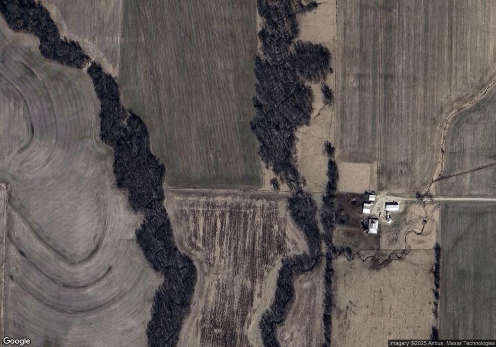
30466 Highway O Middletown, MO 63359
Estimated Value: $361,000 - $1,092,000
3
Beds
4
Baths
2,035
Sq Ft
$382/Sq Ft
Est. Value
About This Home
This home is located at 30466 Highway O, Middletown, MO 63359 and is currently estimated at $776,498, approximately $381 per square foot. 30466 Highway O is a home with nearby schools including Bowling Green High School.
Ownership History
Date
Name
Owned For
Owner Type
Purchase Details
Closed on
Oct 15, 2020
Sold by
Gregory James M
Bought by
Survant Richard E and Survant Tiffany R
Current Estimated Value
Home Financials for this Owner
Home Financials are based on the most recent Mortgage that was taken out on this home.
Original Mortgage
$750,000
Outstanding Balance
$637,154
Interest Rate
2.9%
Mortgage Type
Commercial
Estimated Equity
$139,344
Create a Home Valuation Report for This Property
The Home Valuation Report is an in-depth analysis detailing your home's value as well as a comparison with similar homes in the area
Home Values in the Area
Average Home Value in this Area
Purchase History
| Date | Buyer | Sale Price | Title Company |
|---|---|---|---|
| Survant Richard E | -- | None Available | |
| Hudson Calvin T | -- | None Available |
Source: Public Records
Mortgage History
| Date | Status | Borrower | Loan Amount |
|---|---|---|---|
| Open | Hudson Calvin T | $750,000 | |
| Closed | Hudson Calvin T | $149,088 |
Source: Public Records
Tax History Compared to Growth
Tax History
| Year | Tax Paid | Tax Assessment Tax Assessment Total Assessment is a certain percentage of the fair market value that is determined by local assessors to be the total taxable value of land and additions on the property. | Land | Improvement |
|---|---|---|---|---|
| 2024 | $2,271 | $41,240 | $6,010 | $35,230 |
| 2023 | $2,271 | $41,240 | $6,010 | $35,230 |
| 2022 | $2,223 | $40,670 | $5,440 | $35,230 |
| 2021 | $2,217 | $40,670 | $5,440 | $35,230 |
| 2020 | $3,205 | $58,300 | $20,490 | $37,810 |
| 2019 | $3,212 | $61,960 | $20,490 | $41,470 |
| 2018 | $2,905 | $62,280 | $20,810 | $41,470 |
| 2017 | $2,885 | $62,280 | $20,810 | $41,470 |
| 2016 | $2,816 | $62,280 | $20,810 | $41,470 |
| 2015 | -- | $62,280 | $20,810 | $41,470 |
| 2011 | -- | $61,370 | $19,900 | $41,470 |
Source: Public Records
Map
Nearby Homes
- 00 Highway T
- 86 Combs Rd
- 0 Central Grove Rd & Marling Rd N Unit MIS25030827
- 28450 Highway M
- 0 48 25 Ac M L Pike 409
- 0 Pike 409
- Tbd Collins Rd
- Tbd Abbott Rd
- 0 Bales Rd (26 5+ - Acres)
- 0 Bales Rd (26 50+ - Acres)
- 0 Bales Rd (81 8+ - Acres)
- 0 Bales Rd (81 80+ Ac)
- 0 Bales Rd (55 3+ - Acres)
- 125 Otto Ct
- 107 Otto Ct
- 101 Otto Ct
- TBD Pike 409
- 143 Bear Creek Trail
- 0 State Highway Dd (85 69+ - Acres Unit Tract E
- 0 Hwy Dd (85 69+ - Ac) Tract E Unit MAR24048866
