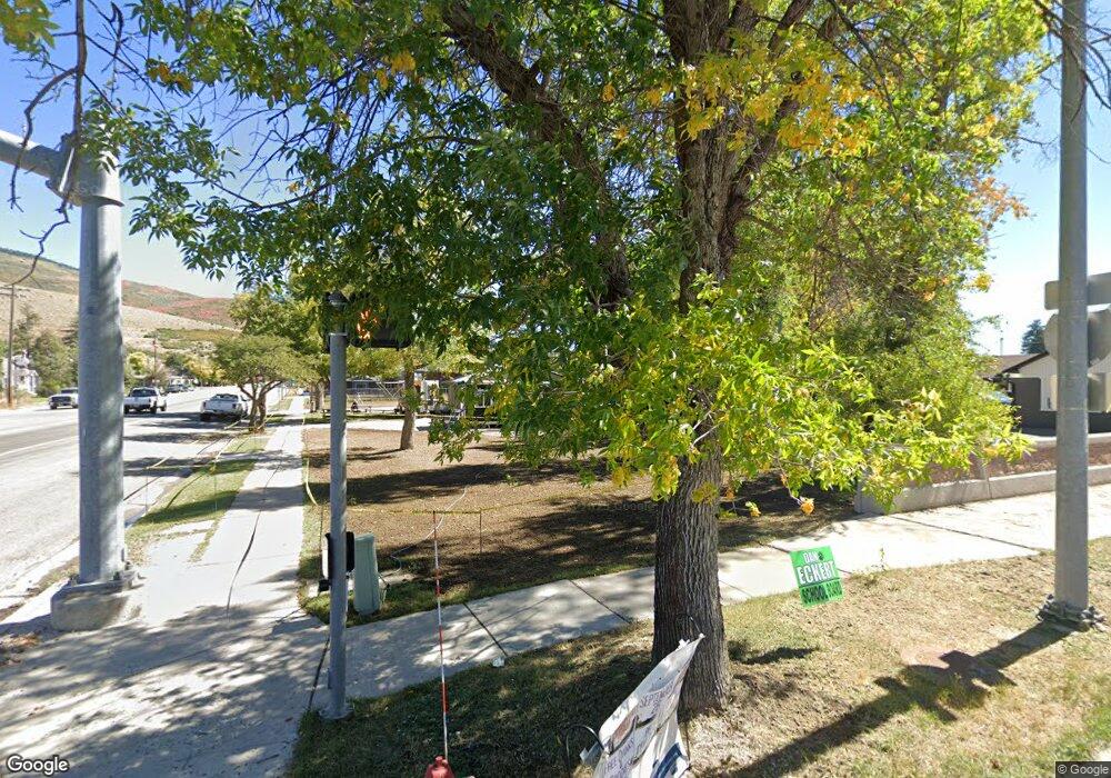
3048 E State Road 35 Kamas, UT 84036
Kamas Valley NeighborhoodEstimated Value: $679,729 - $999,000
Studio
3
Baths
1,316
Sq Ft
$629/Sq Ft
Est. Value
About This Home
This home is located at 3048 E State Road 35, Kamas, UT 84036 and is currently estimated at $827,682, approximately $628 per square foot. 3048 E State Road 35 is a home located in Summit County with nearby schools including South Summit Elementary School and South Summit High School.
Ownership History
Date
Name
Owned For
Owner Type
Purchase Details
Closed on
Aug 27, 2019
Sold by
Crnich Chris S and Crnich Melonie S
Bought by
Crnich Andy and Crnich Cortney
Current Estimated Value
Home Financials for this Owner
Home Financials are based on the most recent Mortgage that was taken out on this home.
Original Mortgage
$225,000
Interest Rate
3.7%
Mortgage Type
New Conventional
Purchase Details
Closed on
Mar 24, 2008
Sold by
Crnich Chris S and Crnich Melonie S
Bought by
Crnich Chris S and Crnich Melonie S
Create a Home Valuation Report for This Property
The Home Valuation Report is an in-depth analysis detailing your home's value as well as a comparison with similar homes in the area
Home Values in the Area
Average Home Value in this Area
Purchase History
| Date | Buyer | Sale Price | Title Company |
|---|---|---|---|
| Crnich Andy | -- | Backman Ntp | |
| Crnich Chris S | -- | None Available |
Source: Public Records
Mortgage History
| Date | Status | Borrower | Loan Amount |
|---|---|---|---|
| Closed | Crnich Andy | $225,000 |
Source: Public Records
Tax History Compared to Growth
Tax History
| Year | Tax Paid | Tax Assessment Tax Assessment Total Assessment is a certain percentage of the fair market value that is determined by local assessors to be the total taxable value of land and additions on the property. | Land | Improvement |
|---|---|---|---|---|
| 2025 | $1,941 | $347,963 | $110,000 | $237,963 |
| 2024 | $1,780 | $328,397 | $101,750 | $226,647 |
| 2023 | $1,780 | $328,397 | $101,750 | $226,647 |
| 2022 | $1,936 | $311,885 | $68,750 | $243,135 |
| 2021 | $1,407 | $184,186 | $36,300 | $147,886 |
| 2020 | $1,277 | $156,614 | $36,300 | $120,314 |
| 2019 | $1,271 | $141,575 | $36,300 | $105,275 |
| 2018 | $1,011 | $117,736 | $27,500 | $90,236 |
| 2017 | $880 | $107,709 | $27,500 | $80,209 |
| 2016 | $783 | $90,294 | $16,728 | $73,566 |
| 2015 | $799 | $90,294 | $0 | $0 |
| 2013 | $865 | $90,294 | $0 | $0 |
Source: Public Records
Map
Nearby Homes
- 2605 E Woodland Way
- 00 Woodland Dr
- 4891 S Woodland Way
- 3770 S Woodland Way
- 5012 S Sheep Dog Trail Unit 22
- 1555 N Wolf Creek Ranch Rd Unit 11
- 1633 Rocky Mountain Way
- Raleigh Traditional Plan at Stewart Ranches - Signature
- Bremerton Plan at Francis Commons - Townhomes
- Bellevue Plan at Francis Commons - Townhomes
- Bellevue 2 Plan at Francis Commons - Townhomes
- Olympia Plan at Francis Commons - Townhomes
- Montclair Traditional Plan at Stewart Ranches - Signature
- 3005 S Rock View Dr
- 1539 Rocky Mountain Way
- 1539 Rocky Mountain Way Unit 401
- Sundborn Plan at Stewart Ranches - Towns Standard
- Hovden A Plan at Stewart Ranches - Towns Standard
- Uppsala Plan at Stewart Ranches - Towns Standard
- Hovden B Plan at Stewart Ranches - Towns Standard
- 3068 E State Road 35
- 2998 E State Road 35
- 2988 E Highway 35
- 2988 E State Road 35
- 3106 E State Road 35
- 3176 E State Road 35
- 2892 E State Road 35
- 3204 E State Road 35
- 3226 E State Road 35
- 2875 E State Road 35
- 2875 E Sr 35 Rd S
- 3262 E State Road 35
- 3262 E Highway 35
- 4225 S Bench Creek Rd
- 0 Lot 9
- 2892 East Hwy
- 5157 S 3420 E
- 0 Unassigned (See Tax Ids) Unit 11805865
- 365 No Assigned Address
- 2140 Unassigned Cd-2140
