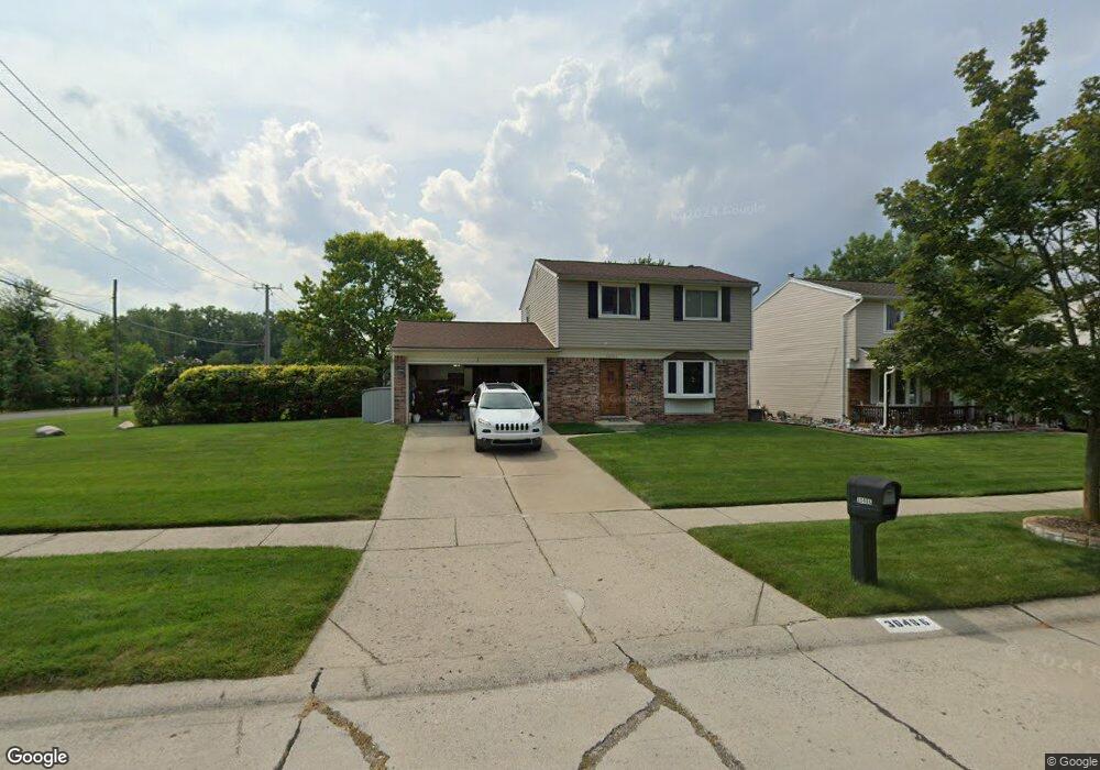
30486 Torry Ave Flat Rock, MI 48134
Estimated Value: $267,000 - $286,000
4
Beds
2
Baths
1,275
Sq Ft
$216/Sq Ft
Est. Value
About This Home
This home is located at 30486 Torry Ave, Flat Rock, MI 48134 and is currently estimated at $275,267, approximately $215 per square foot. 30486 Torry Ave is a home located in Wayne County with nearby schools including Ethel C. Bobcean Elementary School, John M. Barnes Elementary School, and Thomas Simpson Middle School.
Ownership History
Date
Name
Owned For
Owner Type
Purchase Details
Closed on
Apr 15, 2025
Sold by
Oneal John J and Oneal Ann M
Bought by
Oneal John J and Oneal Ann M
Current Estimated Value
Purchase Details
Closed on
Mar 11, 2015
Sold by
Neal John J O and Neal Ann M O
Bought by
Neal John O
Home Financials for this Owner
Home Financials are based on the most recent Mortgage that was taken out on this home.
Original Mortgage
$96,350
Interest Rate
3.67%
Mortgage Type
New Conventional
Purchase Details
Closed on
Mar 31, 2010
Sold by
Allstaedt David John
Bought by
Oneal John J
Purchase Details
Closed on
Dec 5, 2005
Sold by
Peterson Allstaedt Dawn Marie
Bought by
Allstaedt David John
Purchase Details
Closed on
Oct 14, 2002
Sold by
Bodrie Wallace M
Bought by
Allsteadt David J
Create a Home Valuation Report for This Property
The Home Valuation Report is an in-depth analysis detailing your home's value as well as a comparison with similar homes in the area
Home Values in the Area
Average Home Value in this Area
Purchase History
| Date | Buyer | Sale Price | Title Company |
|---|---|---|---|
| Oneal John J | -- | None Listed On Document | |
| Oneal John J | -- | None Listed On Document | |
| Neal John O | -- | First American Title Ins Co | |
| Oneal John J | -- | Michigan Title Insurance Age | |
| Allstaedt David John | -- | None Available | |
| Allsteadt David J | $168,500 | Concord Title |
Source: Public Records
Mortgage History
| Date | Status | Borrower | Loan Amount |
|---|---|---|---|
| Previous Owner | Neal John O | $96,350 |
Source: Public Records
Tax History
| Year | Tax Paid | Tax Assessment Tax Assessment Total Assessment is a certain percentage of the fair market value that is determined by local assessors to be the total taxable value of land and additions on the property. | Land | Improvement |
|---|---|---|---|---|
| 2025 | $3,298 | $126,900 | $0 | $0 |
| 2024 | $3,202 | $119,200 | $0 | $0 |
| 2023 | $3,054 | $106,200 | $0 | $0 |
| 2022 | $3,697 | $95,100 | $0 | $0 |
| 2021 | $3,585 | $97,000 | $0 | $0 |
| 2020 | $3,379 | $83,400 | $0 | $0 |
| 2019 | $3,316 | $72,000 | $0 | $0 |
| 2018 | $2,577 | $71,600 | $0 | $0 |
| 2017 | $1,359 | $65,900 | $0 | $0 |
| 2016 | $3,121 | $62,800 | $0 | $0 |
| 2015 | $5,740 | $61,600 | $0 | $0 |
| 2013 | $6,205 | $62,400 | $0 | $0 |
| 2012 | $2,376 | $60,600 | $15,500 | $45,100 |
Source: Public Records
Map
Nearby Homes
- 0 Woodruff Unit 20251062264
- 23376 Port St
- 23814 Meadows Ave
- 23838 Meadows Ave
- 23827 Romero
- 23841 Romero
- 23869 Romero
- 23883 Romero
- 23911 Romero
- 23855 Romero
- 23897 Romero
- 24103 Romero Unit 11
- 23452 Astrid Ln
- 24664 E Huron River Dr
- 31733 E Ditner Dr
- 31629 Sweetbriar
- 31664 Sweetbriar
- VL Gibraltar Rd
- 00 Gibraltar Rd
- 23965 Gibraltar Rd
- 30472 Torry Ave
- 30458 Torry Ave
- 30631 Bradbury Dr
- 30597 Bradbury Dr
- 30444 Torry Ave
- 30485 Torry Ave
- 23407 Woodruff Rd
- 30471 Torry Ave
- 30563 Bradbury Dr Unit Bldg-Unit
- 23445 Woodruff Rd
- 30430 Torry Ave
- 30457 Torry Ave Unit Bldg-Unit
- 30457 Torry Ave
- 23675 Woodruff Rd
- 23639 Woodruff Rd
- 30443 Torry Ave
- 30529 Bradbury Dr Unit Bldg-Unit
- 30529 Bradbury Dr
- 30429 Torry Ave
- 23339 Woodruff Rd
Your Personal Tour Guide
Ask me questions while you tour the home.