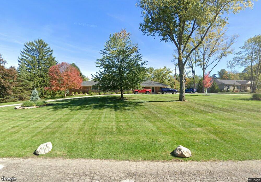
30490 Vernon Dr Beverly Hills, MI 48025
Estimated Value: $863,000 - $918,383
5
Beds
4
Baths
4,278
Sq Ft
$211/Sq Ft
Est. Value
About This Home
This home is located at 30490 Vernon Dr, Beverly Hills, MI 48025 and is currently estimated at $901,596, approximately $210 per square foot. 30490 Vernon Dr is a home located in Oakland County with nearby schools including Wylie E. Groves High School, Bingham Farms Elementary School, and Berkshire Middle School.
Ownership History
Date
Name
Owned For
Owner Type
Purchase Details
Closed on
Jul 17, 1998
Sold by
White Michael A
Bought by
White Michael A
Current Estimated Value
Purchase Details
Closed on
Jul 20, 1995
Sold by
Moffett Robert T
Bought by
White Michael A and Bustin Martha J
Home Financials for this Owner
Home Financials are based on the most recent Mortgage that was taken out on this home.
Original Mortgage
$171,600
Interest Rate
7.56%
Mortgage Type
New Conventional
Create a Home Valuation Report for This Property
The Home Valuation Report is an in-depth analysis detailing your home's value as well as a comparison with similar homes in the area
Home Values in the Area
Average Home Value in this Area
Purchase History
| Date | Buyer | Sale Price | Title Company |
|---|---|---|---|
| White Michael A | -- | -- | |
| White Michael A | $245,200 | -- |
Source: Public Records
Mortgage History
| Date | Status | Borrower | Loan Amount |
|---|---|---|---|
| Previous Owner | White Michael A | $171,600 |
Source: Public Records
Tax History Compared to Growth
Tax History
| Year | Tax Paid | Tax Assessment Tax Assessment Total Assessment is a certain percentage of the fair market value that is determined by local assessors to be the total taxable value of land and additions on the property. | Land | Improvement |
|---|---|---|---|---|
| 2024 | $7,342 | $393,850 | $0 | $0 |
| 2023 | $7,044 | $388,260 | $0 | $0 |
| 2022 | $7,640 | $374,260 | $0 | $0 |
| 2021 | $7,703 | $348,460 | $0 | $0 |
| 2020 | $6,453 | $344,310 | $0 | $0 |
| 2019 | $5,098 | $334,730 | $0 | $0 |
| 2018 | $7,317 | $287,510 | $0 | $0 |
| 2017 | $7,287 | $287,510 | $0 | $0 |
| 2016 | $7,314 | $274,380 | $0 | $0 |
| 2015 | -- | $253,660 | $0 | $0 |
| 2014 | -- | $215,470 | $0 | $0 |
| 2011 | -- | $175,000 | $0 | $0 |
Source: Public Records
Map
Nearby Homes
- 21993 Riverview Dr
- 29585 Woodhaven Ln
- 21700 W 13 Mile Rd
- 20666 Southome St
- 0000 Farmbrook Rd
- 31111 Lahser Rd
- 22601 Highbank Dr
- 31430 Lahser Rd
- 20079 Forestwood St
- 30372 Georgetown Dr
- 29230 Bermuda Ln
- 29281 Stellamar Dr
- 000 Beverly Rd
- 31065 Old Stage Rd
- 29140 Briarbank Ct
- 31462 Waltham Rd
- 28801 Ranchwood Dr
- 19938 Waltham Rd
- 19710 W 13 Mile Rd Unit 107
- 19710 W 13 Mile Rd Unit 111
- 30440 Vernon Dr
- 30560 Vernon Dr
- 30630 Vernon Dr
- 30410 Vernon Dr
- 30385 Woodhaven Ln
- 30425 Vernon Dr
- 30335 Woodhaven Ln
- 30475 Vernon Dr
- 30525 Vernon Dr
- 30455 Woodhaven Ln
- 30305 Woodhaven Ln Unit Bldg-Unit
- 30305 Woodhaven Ln
- 30370 Vernon Dr
- 21410 Orcutt Ct
- 30375 Vernon Dr
- 21529 Meadow Ln
- 21385 Orcutt Ct
- 21515 Meadow Ln
- 30665 Vernon Dr
- 21543 Meadow Ln