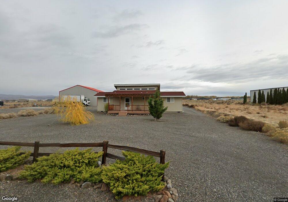
305 Airport Way N Mattawa, WA 99349
Estimated Value: $216,428 - $380,000
--
Bed
--
Bath
1,512
Sq Ft
$191/Sq Ft
Est. Value
About This Home
This home is located at 305 Airport Way N, Mattawa, WA 99349 and is currently estimated at $289,143, approximately $191 per square foot. 305 Airport Way N is a home located in Grant County with nearby schools including Wahluke High School.
Ownership History
Date
Name
Owned For
Owner Type
Purchase Details
Closed on
Sep 28, 2023
Sold by
Jaswal Faisal
Bought by
Mola Edwin M and Anderson Lisa A
Current Estimated Value
Purchase Details
Closed on
Oct 2, 2020
Sold by
Neufeld Sheldon E and Neufeld Judith C
Bought by
Jaswal Faisal
Purchase Details
Closed on
Mar 22, 2019
Sold by
Capstone Orchard Llc
Bought by
Cap Prop Llc
Purchase Details
Closed on
Sep 28, 2017
Sold by
Robinson Robert and Robinson Cathleen
Bought by
Neufeld Sheldon E and Neufeld Judith C
Create a Home Valuation Report for This Property
The Home Valuation Report is an in-depth analysis detailing your home's value as well as a comparison with similar homes in the area
Home Values in the Area
Average Home Value in this Area
Purchase History
| Date | Buyer | Sale Price | Title Company |
|---|---|---|---|
| Mola Edwin M | $375,000 | Grant County Title | |
| Jaswal Faisal | $160,000 | Grant County Title Comapny | |
| Cap Prop Llc | -- | None Available | |
| Neufeld Sheldon E | $125,000 | Grant County Title |
Source: Public Records
Tax History Compared to Growth
Tax History
| Year | Tax Paid | Tax Assessment Tax Assessment Total Assessment is a certain percentage of the fair market value that is determined by local assessors to be the total taxable value of land and additions on the property. | Land | Improvement |
|---|---|---|---|---|
| 2025 | $1,483 | $150,505 | -- | -- |
| 2024 | $1,455 | $150,505 | $93,000 | $57,505 |
| 2023 | $1,425 | $128,225 | $45,500 | $82,725 |
| 2022 | $1,388 | $128,225 | $45,500 | $82,725 |
| 2021 | $1,076 | $128,225 | $45,500 | $82,725 |
| 2020 | $976 | $96,035 | $45,500 | $50,535 |
| 2019 | $963 | $81,800 | $35,250 | $46,550 |
| 2018 | $1,011 | $78,180 | $35,250 | $42,930 |
| 2017 | $946 | $78,180 | $35,250 | $42,930 |
| 2016 | $932 | $77,235 | $38,775 | $38,460 |
| 2013 | -- | $78,690 | $35,250 | $43,440 |
Source: Public Records
Map
Nearby Homes
- 509B Clubhouse Way Unit A
- 113 Airport Way N Unit 3
- 207 Clayton Place SW
- 206 Moon River View
- 208 Moon River View SW
- 206 Cherry Ln W
- 204 Cherry Ln W
- 894 Desert Aire Dr SW
- 447 Airport Way SW
- 412 Apple Place SW
- 449 Airport Way SW
- 101 Wren Loop
- 851 Desert Aire Dr SW
- 304 Airport Way SW
- 313 Airport Way SW
- 453 Airport Way SW
- 227 Sunshine Cir S
- 205 Fairway Place S
- 310 Buttercup Ln SW
- 344 Rainbow Place W
- 305 Airport Way SW
- 303 Airport Way SW
- 307 Airport Way N
- 301 Airport Way SW Unit 20
- 307 Airport Way SW
- 301 Airport Way N
- 306 Airport Way SW
- 311 Airport Way N
- 306 Airport Way N
- 308 Airport Way SW
- 304 Airport Way N
- 308 Airport Way N
- 221 Airport Way N
- 219 Airport Way N
- 309 Airport Way SW
- 312 Airport Way SW
- 217 Airport Way SW
- 220 Airport Way SW
- 303 Atterberry Dr SW
- 443 Airport Way