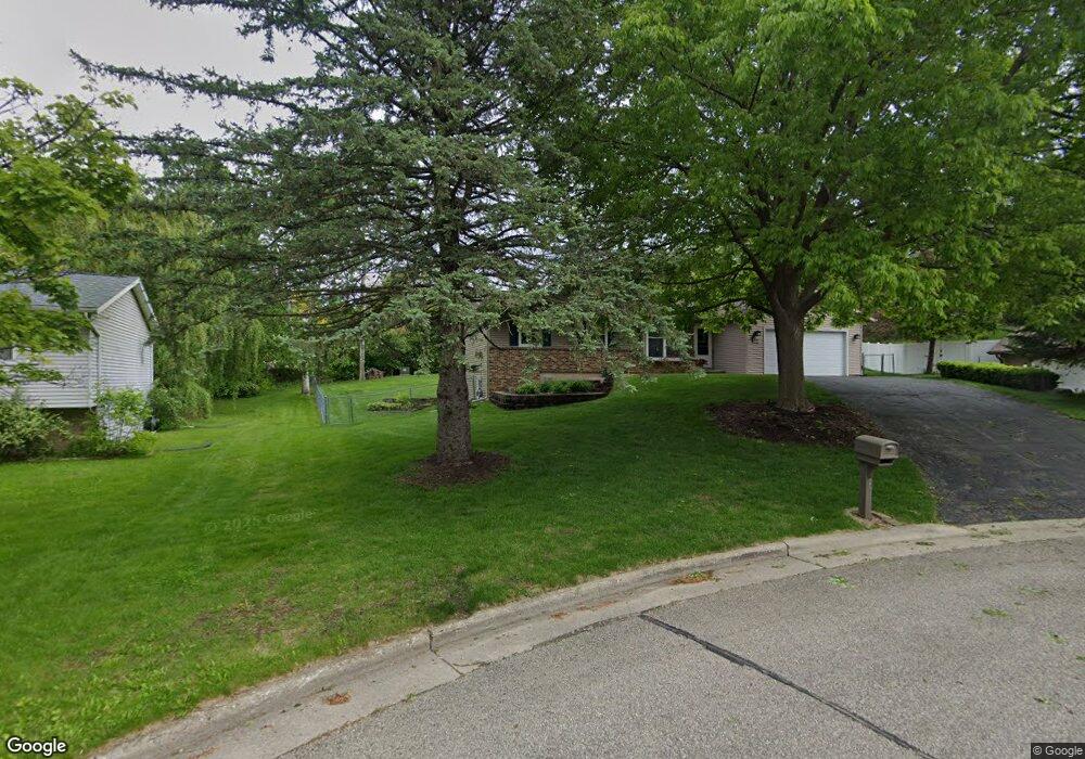
305 Apache Ct de Forest, WI 53532
Estimated Value: $369,324 - $400,000
3
Beds
1
Bath
1,122
Sq Ft
$341/Sq Ft
Est. Value
About This Home
This home is located at 305 Apache Ct, de Forest, WI 53532 and is currently estimated at $382,581, approximately $340 per square foot. 305 Apache Ct is a home located in Dane County with nearby schools including Yahara Elementary School, DeForest Middle School, and DeForest High School.
Ownership History
Date
Name
Owned For
Owner Type
Purchase Details
Closed on
Jun 8, 2007
Sold by
Molitor Bradley Richard and Molitor Ellen Renee
Bought by
Dutton Michael R and Dutton Marcia A
Current Estimated Value
Home Financials for this Owner
Home Financials are based on the most recent Mortgage that was taken out on this home.
Original Mortgage
$194,500
Outstanding Balance
$119,078
Interest Rate
6.2%
Mortgage Type
Purchase Money Mortgage
Estimated Equity
$263,503
Create a Home Valuation Report for This Property
The Home Valuation Report is an in-depth analysis detailing your home's value as well as a comparison with similar homes in the area
Home Values in the Area
Average Home Value in this Area
Purchase History
| Date | Buyer | Sale Price | Title Company |
|---|---|---|---|
| Dutton Michael R | $197,500 | None Available |
Source: Public Records
Mortgage History
| Date | Status | Borrower | Loan Amount |
|---|---|---|---|
| Open | Dutton Michael R | $194,500 |
Source: Public Records
Tax History
| Year | Tax Paid | Tax Assessment Tax Assessment Total Assessment is a certain percentage of the fair market value that is determined by local assessors to be the total taxable value of land and additions on the property. | Land | Improvement |
|---|---|---|---|---|
| 2023 | $4,742 | $290,400 | $83,600 | $206,800 |
| 2022 | $4,621 | $272,400 | $78,600 | $193,800 |
| 2021 | $4,386 | $231,000 | $73,600 | $157,400 |
| 2020 | $4,600 | $227,800 | $67,300 | $160,500 |
| 2019 | $4,465 | $224,500 | $67,300 | $157,200 |
| 2018 | $3,885 | $196,800 | $67,300 | $129,500 |
| 2017 | $3,753 | $196,800 | $67,300 | $129,500 |
| 2016 | $3,773 | $196,800 | $67,300 | $129,500 |
| 2015 | $3,630 | $176,300 | $53,900 | $122,400 |
| 2014 | $3,683 | $176,300 | $53,900 | $122,400 |
| 2013 | $3,718 | $174,200 | $53,900 | $120,300 |
Source: Public Records
Map
Nearby Homes
- 620 Acker Pkwy
- 185 N Lexington Pkwy
- 127 Carriage Way Unit C13
- 216 Reigstad St
- 392 Campbell Hill Ct
- 412 South St
- 400 Market St
- 404 Anderson St
- 516 Woodvale Dr
- 520 E Holum St
- 612 Park Ave
- 33.5 Ac River Rd
- L1 Liuna Way
- 4041 Bear Tree Pkwy
- 4325 Hawk Trail
- 112 Renata Ct
- 7786 Bluestem Trail
- 7711 Stonecrop Way
- 7694 Stonecrop Way
- 7683 Stonecrop Way
- 308 Cheyenne Ct
- 301 Apache Ct
- 309 Apache Ct
- 304 Cheyenne Ct
- 312 Cheyenne Ct
- 300 Apache Ct
- 300 Cheyenne Ct
- 406 Old Indian Trail
- 316 Cheyenne Ct
- 408 Old Indian Trail
- 400 Seminole Way
- 304 Apache Ct
- 404 Old Indian Trail
- 401 Cherokee Ct
- 307 Seminole Way
- 305 Seminole Way
- 410 Old Indian Trail
- 301 Cheyenne Ct
- 309 Cheyenne Ct
- 313 Cheyenne Ct
Your Personal Tour Guide
Ask me questions while you tour the home.