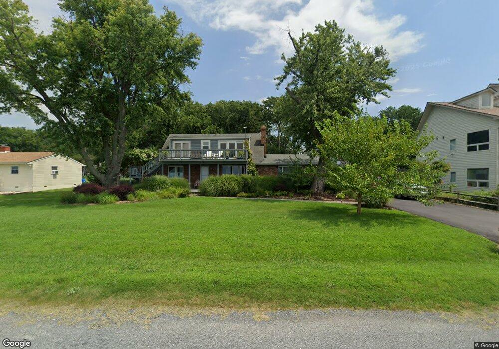
305 Bay Dr Stevensville, MD 21666
Estimated Value: $693,000 - $935,000
--
Bed
2
Baths
2,005
Sq Ft
$381/Sq Ft
Est. Value
About This Home
This home is located at 305 Bay Dr, Stevensville, MD 21666 and is currently estimated at $764,523, approximately $381 per square foot. 305 Bay Dr is a home located in Queen Anne's County with nearby schools including Matapeake Elementary School, Matapeake Middle School, and Kent Island High School.
Ownership History
Date
Name
Owned For
Owner Type
Purchase Details
Closed on
Mar 25, 1997
Sold by
Ingino Mark T and Miller Jennifer L
Bought by
Ingino Mark Thomas
Current Estimated Value
Purchase Details
Closed on
May 17, 1989
Sold by
Roberson Noah A and Roberson Lou D
Bought by
Ingino Mark T and Miller Jennifer L
Home Financials for this Owner
Home Financials are based on the most recent Mortgage that was taken out on this home.
Original Mortgage
$167,400
Interest Rate
10.93%
Create a Home Valuation Report for This Property
The Home Valuation Report is an in-depth analysis detailing your home's value as well as a comparison with similar homes in the area
Home Values in the Area
Average Home Value in this Area
Purchase History
| Date | Buyer | Sale Price | Title Company |
|---|---|---|---|
| Ingino Mark Thomas | $93,700 | -- | |
| Ingino Mark T | $186,000 | -- |
Source: Public Records
Mortgage History
| Date | Status | Borrower | Loan Amount |
|---|---|---|---|
| Previous Owner | Ingino Mark T | $167,400 |
Source: Public Records
Tax History Compared to Growth
Tax History
| Year | Tax Paid | Tax Assessment Tax Assessment Total Assessment is a certain percentage of the fair market value that is determined by local assessors to be the total taxable value of land and additions on the property. | Land | Improvement |
|---|---|---|---|---|
| 2025 | $6,032 | $694,600 | $0 | $0 |
| 2024 | $5,714 | $631,500 | $0 | $0 |
| 2023 | $5,414 | $568,400 | $338,700 | $229,700 |
| 2022 | $5,376 | $564,300 | $0 | $0 |
| 2021 | $5,308 | $560,200 | $0 | $0 |
| 2020 | $5,308 | $556,100 | $339,400 | $216,700 |
| 2019 | $5,083 | $551,633 | $0 | $0 |
| 2018 | $4,868 | $547,167 | $0 | $0 |
| 2017 | $4,663 | $542,700 | $0 | $0 |
| 2016 | -- | $542,700 | $0 | $0 |
| 2015 | $3,613 | $542,700 | $0 | $0 |
| 2014 | $3,613 | $621,400 | $0 | $0 |
Source: Public Records
Map
Nearby Homes
- 104 Bay Dr
- 107 Bay Dr
- 114 Birch Rd
- 0 Chesapeake Estates Dr
- Lot 7 Maple Rd
- 103 Chesapeake Estates Dr
- 1709 Batts Neck Rd
- 96 Annapolis View Rd
- 0 Reynolds Ave
- 0 Allen Ave
- 114 Queens Colony High Rd
- 312 Queens Colony High Rd
- 303 Queens Colony High Rd
- 206 Columbia Ln
- 410 5 Farms Dr
- 303 Queen Anne Club Dr
- 100 Eareckson Ln
- 412 Five Farms Dr
- 312 Columbia Ln
- 1000 Chesapeake Dr
- 301 Bay Dr
- 309 Bay Dr
- 101 Baltimore Dr
- 313 Bay Dr
- 105 Baltimore Dr
- 211 Bay Dr
- 317 Bay Dr
- 103 Lagorce Dr
- 205 Bay Dr
- 109 Baltimore Dr
- 108 Baltimore Dr
- 107 Lagorce Dr
- 100 Bay Dr
- 112 Lagorce Dr
- 140 Chesapeake Estates Dr
- 136 Chesapeake Estates Dr
- 102 Bay Dr
- 113 Baltimore Dr
- 134 Chesapeake Estates Dr
- 116 Lagorce Dr