305 Brookstone Crest Newnan, GA 30265
Estimated Value: $376,305 - $452,000
4
Beds
2
Baths
2,042
Sq Ft
$208/Sq Ft
Est. Value
About This Home
This home is located at 305 Brookstone Crest, Newnan, GA 30265 and is currently estimated at $424,576, approximately $207 per square foot. 305 Brookstone Crest is a home located in Coweta County with nearby schools including Thomas Crossroads Elementary School, Arnall Middle School, and Northgate High School.
Ownership History
Date
Name
Owned For
Owner Type
Purchase Details
Closed on
Oct 13, 2009
Sold by
Route Michael N
Bought by
Route Michael N and Route Leslie W
Current Estimated Value
Home Financials for this Owner
Home Financials are based on the most recent Mortgage that was taken out on this home.
Original Mortgage
$184,500
Outstanding Balance
$119,678
Interest Rate
5.03%
Mortgage Type
New Conventional
Estimated Equity
$304,898
Purchase Details
Closed on
Jun 26, 1998
Sold by
David Lindsey Homes
Bought by
Nash James J and Nash Claudia C
Home Financials for this Owner
Home Financials are based on the most recent Mortgage that was taken out on this home.
Original Mortgage
$117,400
Interest Rate
7.21%
Mortgage Type
New Conventional
Purchase Details
Closed on
Jan 20, 1998
Bought by
David Lindsey Homes
Purchase Details
Closed on
Jun 28, 1995
Bought by
Regional Atlanta Dev
Purchase Details
Closed on
Dec 21, 1990
Bought by
Nall Harriet G
Purchase Details
Closed on
Apr 30, 1983
Bought by
Nall Hubert H
Create a Home Valuation Report for This Property
The Home Valuation Report is an in-depth analysis detailing your home's value as well as a comparison with similar homes in the area
Home Values in the Area
Average Home Value in this Area
Purchase History
| Date | Buyer | Sale Price | Title Company |
|---|---|---|---|
| Route Michael N | -- | -- | |
| Route Michael N | $205,000 | -- | |
| Nash James J | $146,800 | -- | |
| David Lindsey Homes | $285,000 | -- | |
| Regional Atlanta Dev | $269,700 | -- | |
| Nall Harriet G | -- | -- | |
| Nall Hubert H | -- | -- |
Source: Public Records
Mortgage History
| Date | Status | Borrower | Loan Amount |
|---|---|---|---|
| Open | Route Michael N | $184,500 | |
| Previous Owner | Nash James J | $117,400 |
Source: Public Records
Tax History Compared to Growth
Tax History
| Year | Tax Paid | Tax Assessment Tax Assessment Total Assessment is a certain percentage of the fair market value that is determined by local assessors to be the total taxable value of land and additions on the property. | Land | Improvement |
|---|---|---|---|---|
| 2025 | $2,346 | $161,102 | $32,000 | $129,102 |
| 2024 | $2,461 | $149,126 | $28,000 | $121,126 |
| 2023 | $2,461 | $133,190 | $22,000 | $111,190 |
| 2022 | $2,109 | $127,972 | $22,000 | $105,972 |
| 2021 | $1,659 | $105,442 | $22,000 | $83,442 |
| 2020 | $1,471 | $98,105 | $22,000 | $76,105 |
| 2019 | $1,693 | $86,790 | $12,000 | $74,790 |
| 2018 | $2,405 | $86,790 | $12,000 | $74,790 |
| 2017 | $2,226 | $80,718 | $12,000 | $68,718 |
| 2016 | $2,201 | $80,718 | $12,000 | $68,718 |
| 2015 | $1,994 | $74,647 | $12,000 | $62,647 |
| 2014 | $1,652 | $74,647 | $12,000 | $62,647 |
Source: Public Records
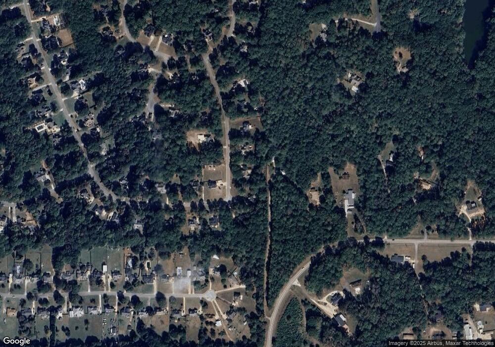
Map
Nearby Homes
- 151 Brookstone Park
- 85 Holly Springs Rd
- LOT 5 Vaughn Rd
- 160 Maple Leaf Rd
- 185 Grand Jct
- 65 Barrington Ridge Ct
- 70 Barrington Farms Ct
- 3771 Highway 34 E Unit TRACT2
- 3771 Highway 34 E Unit TRACT1
- 165 Bartlett Dr
- 50 Barrington Grange Ct
- 45 Meadow View Glen
- 0 Spring Forest Way Unit LOT 2-1 10483749
- 30 Creekwood Dr
- 200 Barrington Grange Dr
- 147 Crossroads Est Dr
- Spring Forest Way Lot: 2-1
- 90 Spring Forest Trail
- 136 Barrington Grange Dr
- 2462 Sharpsburg McCullum Rd
- 315 Brookstone Crest
- 295 Brookstone Crest
- 110 Andrew Bailey Rd
- 300 Brookstone Crest
- 325 Brookstone Crest
- 320 Brookstone Crest
- 285 Brookstone Crest
- 270 Brookstone Crest
- 275 Brookstone Crest
- 170 Andrew Bailey Rd
- 335 Brookstone Crest
- 260 Brookstone Crest
- 330 Brookstone Crest
- 265 Brookstone Crest
- 265 Brookstone Crest Unit 7
- 345 Brookstone Crescent
- 250 Brookstone Crest
- 30 Beech Crest
- 20 Beech Crest
- 255 Brookstone Crest