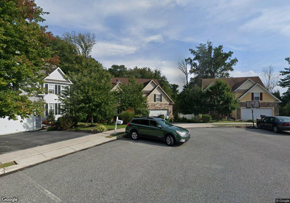
305 Carolee Cir Springfield, PA 19064
Estimated Value: $694,000 - $891,000
4
Beds
3
Baths
3,559
Sq Ft
$225/Sq Ft
Est. Value
About This Home
This home is located at 305 Carolee Cir, Springfield, PA 19064 and is currently estimated at $800,737, approximately $224 per square foot. 305 Carolee Cir is a home located in Delaware County with nearby schools including Springfield High School and St Francis Of Assisi School.
Ownership History
Date
Name
Owned For
Owner Type
Purchase Details
Closed on
Feb 7, 2007
Sold by
Baravordeh Davond
Bought by
Bapat Satish and Bapat Rohini
Current Estimated Value
Home Financials for this Owner
Home Financials are based on the most recent Mortgage that was taken out on this home.
Original Mortgage
$417,000
Interest Rate
5.98%
Mortgage Type
Purchase Money Mortgage
Create a Home Valuation Report for This Property
The Home Valuation Report is an in-depth analysis detailing your home's value as well as a comparison with similar homes in the area
Home Values in the Area
Average Home Value in this Area
Purchase History
| Date | Buyer | Sale Price | Title Company |
|---|---|---|---|
| Bapat Satish | $568,400 | T A Title Insurance Co |
Source: Public Records
Mortgage History
| Date | Status | Borrower | Loan Amount |
|---|---|---|---|
| Closed | Bapat Satish | $417,000 |
Source: Public Records
Tax History
| Year | Tax Paid | Tax Assessment Tax Assessment Total Assessment is a certain percentage of the fair market value that is determined by local assessors to be the total taxable value of land and additions on the property. | Land | Improvement |
|---|---|---|---|---|
| 2025 | $13,094 | $465,860 | $127,330 | $338,530 |
| 2024 | $13,094 | $465,860 | $127,330 | $338,530 |
| 2023 | $12,608 | $465,860 | $127,330 | $338,530 |
| 2022 | $12,335 | $465,860 | $127,330 | $338,530 |
| 2021 | $19,103 | $465,860 | $127,330 | $338,530 |
| 2020 | $15,737 | $347,292 | $61,220 | $286,072 |
| 2019 | $15,368 | $347,292 | $61,220 | $286,072 |
| 2018 | $15,148 | $347,292 | $0 | $0 |
| 2017 | $14,797 | $347,292 | $0 | $0 |
| 2016 | $1,906 | $347,292 | $0 | $0 |
| 2015 | $1,945 | $347,292 | $0 | $0 |
| 2014 | $1,906 | $347,292 | $0 | $0 |
Source: Public Records
Map
Nearby Homes
- 231 E Woodland Ave
- 720 Evans Rd
- 264 Pancoast Ave
- 277 Ballymore Rd
- 253 Saxer Ave
- 658 E Leamy Ave
- 364 S Rolling Rd
- 208 Parham Rd
- 334 Parham Rd
- 341 Harwicke Rd
- 933 Greenbriar Ln
- 114 Providence Rd
- 225 Lynbrooke Rd
- 238 Alliston Rd
- 71 W Sproul Rd
- 249 Gleaves Rd
- 359 Spring Valley Rd
- 255 Gibbons Rd
- 507 School St
- 436 Kerr Ln
- 301 Carolee Cir
- 311 Carolee Cir
- 300 Carolee Cir
- 315 Carolee Cir
- 304 Carolee Cir
- 321 Carolee Cir
- 314 Carolee Cir
- 310 Carolee Cir
- 830 Evans Rd
- 401 E Woodland Ave
- 320 Carolee Cir
- 824 Evans Rd
- 255 E Woodland Ave
- 302 E Woodland Ave
- 409 E Woodland Ave
- 818 Evans Rd
- 831 Evans Rd
- 407 Thatcher Rd
- 400 Thatcher Rd
- 310 E Leamy Ave
Your Personal Tour Guide
Ask me questions while you tour the home.