305 County Road 2627 Decatur, TX 76234
Estimated Value: $444,101 - $933,000
4
Beds
2
Baths
2,112
Sq Ft
$326/Sq Ft
Est. Value
About This Home
This home is located at 305 County Road 2627, Decatur, TX 76234 and is currently estimated at $688,551, approximately $326 per square foot. 305 County Road 2627 is a home located in Wise County with nearby schools including Decatur High School.
Ownership History
Date
Name
Owned For
Owner Type
Purchase Details
Closed on
Jul 3, 2024
Sold by
Sowder Shawn R and Sowder Angela
Bought by
Whitted Robert P and Whitted Lora D
Current Estimated Value
Purchase Details
Closed on
May 8, 2010
Sold by
Bennett James G and Bennett Ruth
Bought by
Sowder Shawn R and Sowder Angela
Home Financials for this Owner
Home Financials are based on the most recent Mortgage that was taken out on this home.
Original Mortgage
$197,341
Interest Rate
5.25%
Mortgage Type
FHA
Purchase Details
Closed on
Oct 3, 2006
Sold by
Low Sandra
Bought by
Sowder Shawn and Sowder Angela
Purchase Details
Closed on
Nov 4, 2005
Sold by
Bennett James G and Bennett Rhonda J
Bought by
Low Sandra K
Home Financials for this Owner
Home Financials are based on the most recent Mortgage that was taken out on this home.
Original Mortgage
$153,000
Interest Rate
5.92%
Mortgage Type
New Conventional
Purchase Details
Closed on
Mar 24, 2003
Sold by
Seraiah Chori and Seraiah Catherine
Bought by
Sowder Shawn and Sowder Angela
Purchase Details
Closed on
Oct 5, 2000
Sold by
Pemberton Danny L
Bought by
Sowder Shawn and Sowder Angela
Purchase Details
Closed on
Jan 1, 1901
Bought by
Sowder Shawn and Sowder Angela
Create a Home Valuation Report for This Property
The Home Valuation Report is an in-depth analysis detailing your home's value as well as a comparison with similar homes in the area
Home Values in the Area
Average Home Value in this Area
Purchase History
| Date | Buyer | Sale Price | Title Company |
|---|---|---|---|
| Whitted Robert P | -- | None Listed On Document | |
| Sowder Shawn R | -- | -- | |
| Sowder Shawn | -- | -- | |
| Low Sandra K | -- | Standard Land Title Company | |
| Sowder Shawn | -- | -- | |
| Sowder Shawn | -- | -- | |
| Sowder Shawn | -- | -- |
Source: Public Records
Mortgage History
| Date | Status | Borrower | Loan Amount |
|---|---|---|---|
| Previous Owner | Sowder Shawn R | $197,341 | |
| Previous Owner | Low Sandra K | $153,000 |
Source: Public Records
Tax History Compared to Growth
Tax History
| Year | Tax Paid | Tax Assessment Tax Assessment Total Assessment is a certain percentage of the fair market value that is determined by local assessors to be the total taxable value of land and additions on the property. | Land | Improvement |
|---|---|---|---|---|
| 2025 | $402 | $49,061 | $24,464 | $24,597 |
| 2024 | $402 | $40,599 | $15,720 | $24,879 |
| 2023 | $390 | $29,372 | $0 | $0 |
| 2022 | $382 | $26,623 | $0 | $0 |
| 2021 | $369 | $258,640 | $244,810 | $13,830 |
| 2020 | $353 | $179,950 | $164,750 | $15,200 |
| 2019 | $295 | $175,090 | $164,750 | $10,340 |
| 2018 | $5,338 | $365,390 | $148,730 | $216,660 |
| 2017 | $4,710 | $306,050 | $126,660 | $179,390 |
| 2016 | $4,267 | $271,760 | $115,980 | $155,780 |
| 2015 | -- | $273,600 | $115,980 | $157,620 |
| 2014 | -- | $252,270 | $94,630 | $157,640 |
Source: Public Records
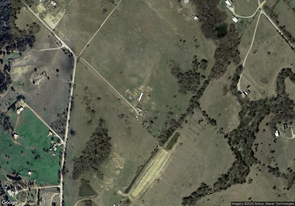
Map
Nearby Homes
- 1430 County Road 2735
- 392 Pr Road 2625
- 200 Pr 2462
- TBD County Road 2740
- 459 Private Road 2625
- 2591 Fm 1204
- 117 County Road 2646
- Lot 4 Pr 4460
- TBD 7 County Road 2830
- Tract 2 County Rd 2745
- 145 County Road 2327
- 171 Cr-2825
- 123 El Dorado St
- 196 El Dorado St
- 204 El Dorado St
- 620 County Road 2937
- TBD Pr 2454
- 2454 Private Rd
- 755 County Road 2845
- 12370 Fortenberry Rd
- 483 County Road 2627
- 426 County Road 2627
- 1363 County Road 2625
- 797 County Road 2627
- 1609 County Road 2625
- 406 County Road 2627
- 269 County Road 2627
- 1349 County Road 2625
- 1405 County Road 2625
- 474 County Road 2627
- 1501 County Road 2625
- 2625 Cr
- 1562 County Road 2625
- 219 County Road 2937 Unit 2553
- 1773 County Road 2625
- 237 County Road 2627
- 670 County Road 2627
- 148 County Road 2627
- 1337 County Road 2625
- 1612 County Road 2625