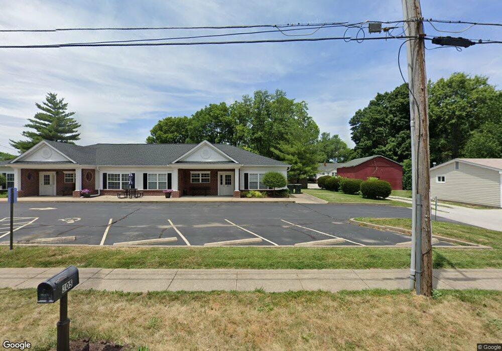
305 Depot St Unit n/a Saint Peters, MO 63376
Estimated Value: $511,845
--
Bed
--
Bath
1,890
Sq Ft
$271/Sq Ft
Est. Value
About This Home
This home is located at 305 Depot St Unit n/a, Saint Peters, MO 63376 and is currently estimated at $511,845, approximately $270 per square foot. 305 Depot St Unit n/a is a home located in St. Charles County with nearby schools including Lewis & Clark Elementary School, Dr. Bernard J. Dubray Middle School, and Fort Zumwalt East High School.
Ownership History
Date
Name
Owned For
Owner Type
Purchase Details
Closed on
Nov 29, 2021
Sold by
Bbi Properties Llc
Bought by
Nelle Enterprises Llc
Current Estimated Value
Home Financials for this Owner
Home Financials are based on the most recent Mortgage that was taken out on this home.
Original Mortgage
$320,000
Outstanding Balance
$294,237
Interest Rate
3.09%
Mortgage Type
Future Advance Clause Open End Mortgage
Estimated Equity
$217,608
Purchase Details
Closed on
Jan 29, 2015
Sold by
Madison Avenue Properties Llc
Bought by
Bbi Properties Llc
Purchase Details
Closed on
Jan 19, 2006
Sold by
Payden Don Arnold and Payden Roosaida
Bought by
Madison Avenue Properties Llc
Home Financials for this Owner
Home Financials are based on the most recent Mortgage that was taken out on this home.
Original Mortgage
$220,000
Interest Rate
6.25%
Mortgage Type
Commercial
Create a Home Valuation Report for This Property
The Home Valuation Report is an in-depth analysis detailing your home's value as well as a comparison with similar homes in the area
Home Values in the Area
Average Home Value in this Area
Purchase History
| Date | Buyer | Sale Price | Title Company |
|---|---|---|---|
| Nelle Enterprises Llc | -- | Investors Title Company | |
| Bbi Properties Llc | $255,000 | Title Partners Agency Llc | |
| Madison Avenue Properties Llc | $353,662 | Atc |
Source: Public Records
Mortgage History
| Date | Status | Borrower | Loan Amount |
|---|---|---|---|
| Open | Nelle Enterprises Llc | $320,000 | |
| Previous Owner | Madison Avenue Properties Llc | $220,000 |
Source: Public Records
Tax History Compared to Growth
Tax History
| Year | Tax Paid | Tax Assessment Tax Assessment Total Assessment is a certain percentage of the fair market value that is determined by local assessors to be the total taxable value of land and additions on the property. | Land | Improvement |
|---|---|---|---|---|
| 2025 | $6,740 | $88,852 | -- | -- |
| 2023 | $6,735 | $88,852 | $0 | $0 |
| 2022 | $6,893 | $85,645 | $0 | $0 |
| 2021 | $6,883 | $85,645 | $0 | $0 |
| 2020 | $7,503 | $90,698 | $0 | $0 |
| 2019 | $7,486 | $90,698 | $0 | $0 |
| 2018 | $6,894 | $80,500 | $0 | $0 |
| 2017 | $6,864 | $80,500 | $0 | $0 |
| 2016 | $6,551 | $76,714 | $0 | $0 |
| 2015 | $6,153 | $76,714 | $0 | $0 |
| 2014 | $6,323 | $77,411 | $0 | $0 |
Source: Public Records
Map
Nearby Homes
- 412 Cardinal Commons Ct
- 125 S Gatty Dr
- 114 Peruque Creek Manor
- 305 S Church St
- 5 Saint Catherine Dr
- 2015 Chapel Hill Crossing
- 426 Cambridge Place
- 420 Cambridge Place Unit 2
- 26 Steeplechase Dr
- 406 S Church St Unit 128
- 8 Cross Trail Ln
- 139 Oak Dr
- 20 Churchill Downs Dr
- 22 Westwood Estates Dr
- 16 Oxbow Rd
- 7418 Mexico Rd #100 Rd
- 410 Brown Rd
- 138 Rhythm Point Dr
- 747 Estes Park Dr
- 809 Estes Park Dr