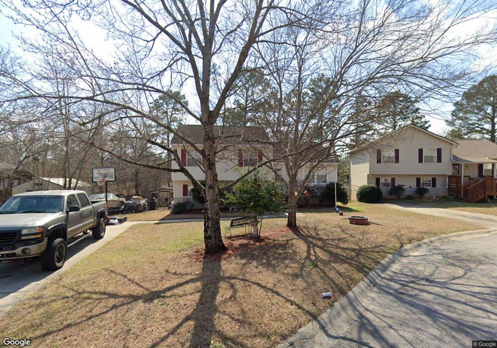
305 Devonrock Ct West Columbia, SC 29170
Estimated Value: $208,675 - $252,000
3
Beds
2
Baths
1,668
Sq Ft
$140/Sq Ft
Est. Value
About This Home
This home is located at 305 Devonrock Ct, West Columbia, SC 29170 and is currently estimated at $233,919, approximately $140 per square foot. 305 Devonrock Ct is a home located in Lexington County with nearby schools including Springdale Elementary School, R. H. Fulmer Middle, and Airport High School.
Ownership History
Date
Name
Owned For
Owner Type
Purchase Details
Closed on
Apr 2, 2013
Sold by
Crowson Tammy L and Keisler Tammy L
Bought by
Crowson Tammy L
Current Estimated Value
Home Financials for this Owner
Home Financials are based on the most recent Mortgage that was taken out on this home.
Original Mortgage
$91,747
Outstanding Balance
$72,814
Interest Rate
6.5%
Mortgage Type
FHA
Estimated Equity
$161,105
Purchase Details
Closed on
Jun 2, 2003
Sold by
Hendrix Bldrs Inc
Bought by
Williams Doug R
Purchase Details
Closed on
Jul 24, 1998
Sold by
Patton Laurie A
Bought by
Taylor Carolyn P
Create a Home Valuation Report for This Property
The Home Valuation Report is an in-depth analysis detailing your home's value as well as a comparison with similar homes in the area
Home Values in the Area
Average Home Value in this Area
Purchase History
| Date | Buyer | Sale Price | Title Company |
|---|---|---|---|
| Crowson Tammy L | -- | -- | |
| Williams Doug R | $162,500 | -- | |
| Taylor Carolyn P | $78,500 | -- |
Source: Public Records
Mortgage History
| Date | Status | Borrower | Loan Amount |
|---|---|---|---|
| Open | Crowson Tammy L | $91,747 |
Source: Public Records
Tax History Compared to Growth
Tax History
| Year | Tax Paid | Tax Assessment Tax Assessment Total Assessment is a certain percentage of the fair market value that is determined by local assessors to be the total taxable value of land and additions on the property. | Land | Improvement |
|---|---|---|---|---|
| 2024 | $942 | $4,441 | $800 | $3,641 |
| 2023 | $849 | $4,441 | $800 | $3,641 |
| 2022 | $857 | $4,441 | $800 | $3,641 |
| 2020 | $823 | $4,441 | $800 | $3,641 |
| 2019 | $832 | $4,396 | $800 | $3,596 |
| 2018 | $841 | $4,396 | $800 | $3,596 |
| 2017 | $807 | $4,396 | $800 | $3,596 |
| 2016 | $636 | $4,395 | $800 | $3,595 |
| 2014 | $1,933 | $7,390 | $1,200 | $6,190 |
| 2013 | -- | $4,930 | $800 | $4,130 |
Source: Public Records
Map
Nearby Homes
- 190 Stonewood Dr
- 3107 Trailstream Rd
- 3012 Glendale Rd
- 3002 Hilldale Rd
- 615 Dawn Dr
- 504 Dickson Hill Cir
- 864 Lodgepole Ln
- 318 John Wayne Dr
- 860 Lodgepole Ln
- 329 Pinaster Path
- 819 Pond Dr
- Magnolia Plan at Pinecrest
- Taylor II Plan at Pinecrest
- Easley Plan at Pinecrest
- Monroe II Plan at Pinecrest
- Cypress Plan at Pinecrest
- Anderson Plan at Pinecrest
- Monroe Plan at Pinecrest
- Camelia Plan at Pinecrest
- 348 Pinaster Path
- 309 Devonrock Ct
- 163 Stonewood Dr
- 301 Devinrock Ct
- 301 Devonrock Ct
- 315 Devonrock Ct
- 315 Devinrock Ct
- 304 Devonrock Ct
- 316 Devonrock Ct
- 177 Stonewood Dr
- 308 Devinrock Ct
- 308 Devonrock Ct
- 312 Devonrock Ct
- 325 Mission Rd
- 178 Stonewood Dr
- 166 Stonewood Dr
- 162 Stonewood Dr
- 170 Stonewood Dr
- 0 Stockman Dr
- 185 Stonewood Dr
- 153 Stonewood Dr