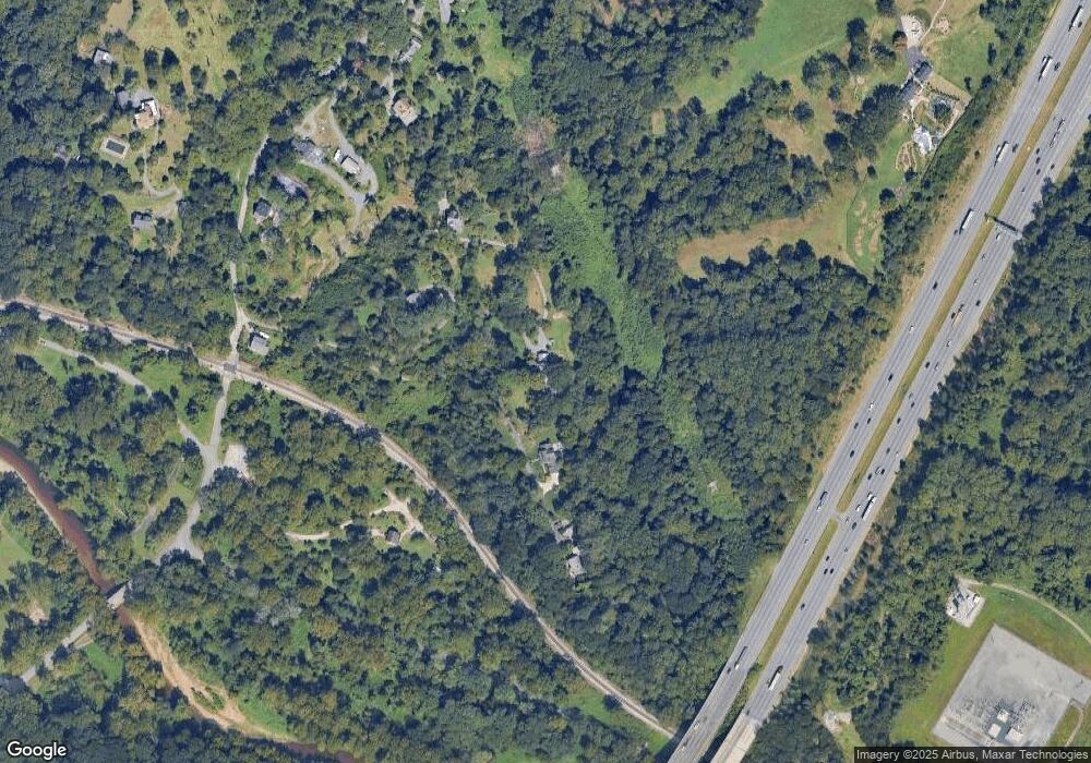
305 Gun Rd Halethorpe, MD 21227
Estimated Value: $606,000 - $1,281,000
--
Bed
5
Baths
5,906
Sq Ft
$153/Sq Ft
Est. Value
About This Home
This home is located at 305 Gun Rd, Halethorpe, MD 21227 and is currently estimated at $903,880, approximately $153 per square foot. 305 Gun Rd is a home located in Baltimore County with nearby schools including Relay Elementary School, Arbutus Middle School, and Catonsville High School.
Ownership History
Date
Name
Owned For
Owner Type
Purchase Details
Closed on
Oct 4, 2006
Sold by
Bingaman Christopher B
Bought by
Bingaman Christopher B
Current Estimated Value
Purchase Details
Closed on
Mar 17, 2006
Sold by
Bingaman Christopher B
Bought by
Bingaman Christopher B
Purchase Details
Closed on
Jun 29, 1998
Sold by
Mortgage Guaranty Insurance Corp
Bought by
Bingaman Christopher B and Hermann Sharyn
Purchase Details
Closed on
Dec 31, 1997
Sold by
Citibank N A
Bought by
Mortgage Guaranty Insurance Corp
Purchase Details
Closed on
Sep 4, 1997
Sold by
Roberts Charles S
Bought by
Citibank N A
Create a Home Valuation Report for This Property
The Home Valuation Report is an in-depth analysis detailing your home's value as well as a comparison with similar homes in the area
Home Values in the Area
Average Home Value in this Area
Purchase History
| Date | Buyer | Sale Price | Title Company |
|---|---|---|---|
| Bingaman Christopher B | -- | -- | |
| Bingaman Christopher B | -- | -- | |
| Bingaman Christopher B | $197,000 | -- | |
| Mortgage Guaranty Insurance Corp | $179,055 | -- | |
| Citibank N A | $169,400 | -- |
Source: Public Records
Tax History Compared to Growth
Tax History
| Year | Tax Paid | Tax Assessment Tax Assessment Total Assessment is a certain percentage of the fair market value that is determined by local assessors to be the total taxable value of land and additions on the property. | Land | Improvement |
|---|---|---|---|---|
| 2025 | $6,779 | $579,700 | -- | -- |
| 2024 | $6,779 | $534,600 | $105,900 | $428,700 |
| 2023 | $3,365 | $529,100 | $0 | $0 |
| 2022 | $6,593 | $523,600 | $0 | $0 |
| 2021 | $6,552 | $518,100 | $105,900 | $412,200 |
| 2020 | $6,552 | $518,100 | $105,900 | $412,200 |
| 2019 | $6,529 | $518,100 | $105,900 | $412,200 |
| 2018 | $6,339 | $559,200 | $105,900 | $453,300 |
| 2017 | $5,833 | $554,933 | $0 | $0 |
| 2016 | $4,820 | $550,667 | $0 | $0 |
| 2015 | $4,820 | $546,400 | $0 | $0 |
| 2014 | $4,820 | $546,400 | $0 | $0 |
Source: Public Records
Map
Nearby Homes
- 1537 S Rolling Rd
- 1807 Sutton Ave
- 901 Grovehill Rd
- 19 Piedmont Ct
- 5712 Richardson Mews Square
- 5601 Selford Rd
- 927 Grovehill Rd
- 1014 Stormont Cir
- 5901 Rustic Ln
- 1130 Kelfield Dr
- 5632 Braxfield Rd
- 5613 Chelwynd Rd
- 1127 Ingate Rd
- 1173 Kelfield Dr
- 1132 Ingate Rd
- 6 Ingate Terrace
- 1014 Elm Rd
- 5757 Elkridge Heights Rd
- 5879 Bonnie View Ln
- 1 Trotting Horse Ct
