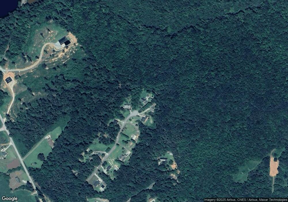
305 Hancock Dr Toccoa, GA 30577
Estimated Value: $217,000 - $264,000
3
Beds
2
Baths
1,579
Sq Ft
$157/Sq Ft
Est. Value
About This Home
This home is located at 305 Hancock Dr, Toccoa, GA 30577 and is currently estimated at $247,763, approximately $156 per square foot. 305 Hancock Dr is a home located in Stephens County with nearby schools including Stephens County High School.
Ownership History
Date
Name
Owned For
Owner Type
Purchase Details
Closed on
Sep 1, 1994
Bought by
Mozingo John T and Mozingo Christy C
Current Estimated Value
Purchase Details
Closed on
Aug 1, 1991
Bought by
<Buyer Info Not Present>
Purchase Details
Closed on
Sep 1, 1990
Bought by
<Buyer Info Not Present>
Create a Home Valuation Report for This Property
The Home Valuation Report is an in-depth analysis detailing your home's value as well as a comparison with similar homes in the area
Home Values in the Area
Average Home Value in this Area
Purchase History
| Date | Buyer | Sale Price | Title Company |
|---|---|---|---|
| Mozingo John T | $80,000 | -- | |
| <Buyer Info Not Present> | $73,000 | -- | |
| <Buyer Info Not Present> | $4,600 | -- |
Source: Public Records
Tax History Compared to Growth
Tax History
| Year | Tax Paid | Tax Assessment Tax Assessment Total Assessment is a certain percentage of the fair market value that is determined by local assessors to be the total taxable value of land and additions on the property. | Land | Improvement |
|---|---|---|---|---|
| 2024 | $1,480 | $48,606 | $2,313 | $46,293 |
| 2023 | $1,348 | $45,279 | $2,313 | $42,966 |
| 2022 | $1,275 | $42,821 | $2,313 | $40,508 |
| 2021 | $1,241 | $39,681 | $2,313 | $37,368 |
| 2020 | $1,246 | $39,441 | $2,313 | $37,128 |
| 2019 | $1,251 | $39,441 | $2,313 | $37,128 |
| 2018 | $1,251 | $39,441 | $2,313 | $37,128 |
| 2017 | $1,270 | $39,441 | $2,313 | $37,128 |
| 2016 | $1,251 | $39,441 | $2,313 | $37,128 |
| 2015 | $1,255 | $37,782 | $2,313 | $35,469 |
| 2014 | $1,276 | $37,782 | $2,313 | $35,469 |
| 2013 | -- | $38,600 | $2,840 | $35,760 |
Source: Public Records
Map
Nearby Homes
- 218 Jefferson Place
- 33 Jefferson Place
- 770 Buena Vista Dr
- 160 Buena Vista Dr
- 215 Old Mize Rd
- 3953 Liberty Hill Rd
- 0 Switchback Run Unit 10437289
- 275 Southern Trace
- 255 Southern Trace
- 184 Scott Cir
- 633 Racetrack Rd
- 613 Racetrack Rd
- 561 Racetrack Rd
- 495 Racetrack Rd
- 1662 Carnes Creek Rd
- 424 Law House Rd
- 160 Oak Way Dr
- 303 Oak Way Dr
- 232 Oak Way Dr
- 271 Oak Way Dr
- 308 Hancock Dr
- 291 Hancock Dr
- 302 Hancock Dr
- 269 Hancock Dr
- 224 Hancock Dr
- 243 Jefferson Place
- 180 Hancock Dr
- 165 Hancock Dr
- 244 Jefferson Place
- 130 Hancock Dr
- 117 Hancock Dr
- 191 Freeman Creek Rd
- 1195 Buena Vista Dr
- 12 Hancock Dr
- 69 Hancock Dr Unit 2
- 69 Hancock Dr
- 130 Jefferson Place
- 236 Freeman Creek Rd Unit LOT
- 236 Freeman Creek Rd
- 307 Freeman Creek Rd
