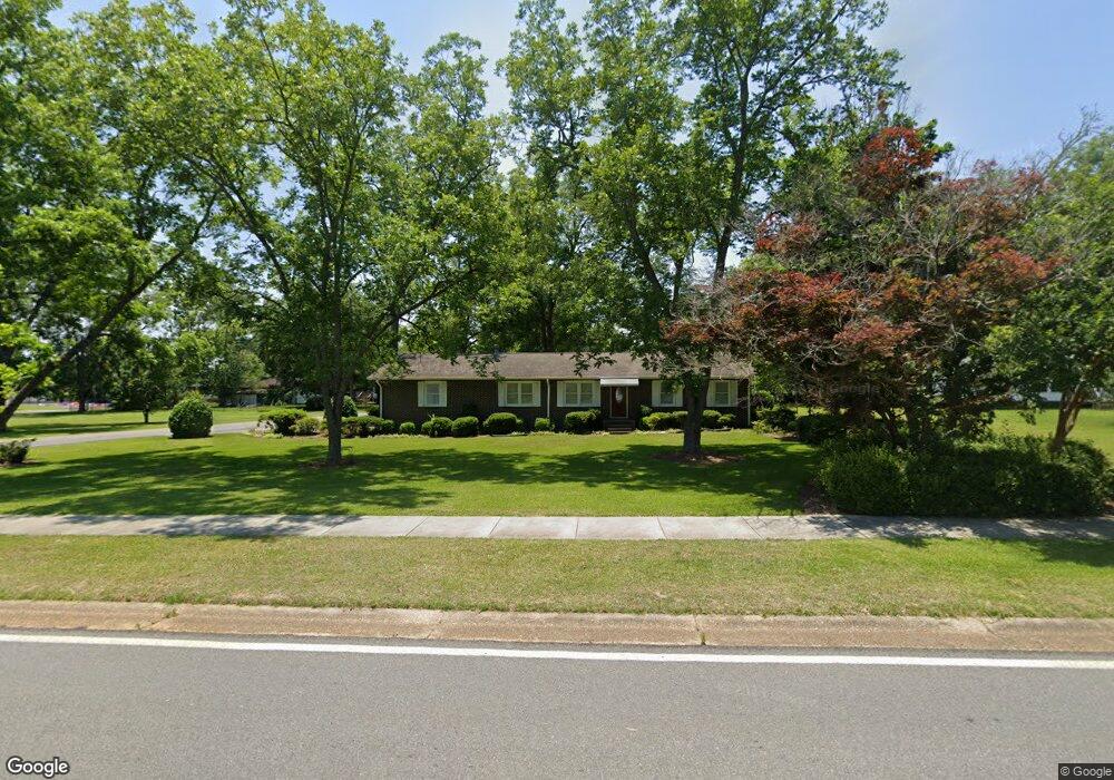
305 Highway 338 Dexter, GA 31019
Estimated Value: $113,829 - $220,000
--
Bed
--
Bath
1,508
Sq Ft
$120/Sq Ft
Est. Value
About This Home
This home is located at 305 Highway 338, Dexter, GA 31019 and is currently estimated at $181,707, approximately $120 per square foot. 305 Highway 338 is a home with nearby schools including Southwest Laurens Elementary School, Northwest Laurens Elementary School, and East Laurens Primary School.
Ownership History
Date
Name
Owned For
Owner Type
Purchase Details
Closed on
Apr 7, 2020
Sold by
Mcalexander Linda Hobbs
Bought by
Gulliver Kenneth A and Gulliver Betty J
Current Estimated Value
Home Financials for this Owner
Home Financials are based on the most recent Mortgage that was taken out on this home.
Original Mortgage
$120,000
Outstanding Balance
$106,104
Interest Rate
3.3%
Mortgage Type
VA
Estimated Equity
$75,603
Purchase Details
Closed on
Nov 25, 2019
Sold by
Mcalexander Linda Hobbs
Bought by
Mcalexander Linda L Hobbs
Purchase Details
Closed on
Sep 9, 1909
Bought by
Hobbs F R
Create a Home Valuation Report for This Property
The Home Valuation Report is an in-depth analysis detailing your home's value as well as a comparison with similar homes in the area
Home Values in the Area
Average Home Value in this Area
Purchase History
| Date | Buyer | Sale Price | Title Company |
|---|---|---|---|
| Gulliver Kenneth A | -- | -- | |
| Mcalexander Linda L Hobbs | -- | -- | |
| Hobbs F R | -- | -- |
Source: Public Records
Mortgage History
| Date | Status | Borrower | Loan Amount |
|---|---|---|---|
| Open | Gulliver Kenneth A | $120,000 |
Source: Public Records
Tax History Compared to Growth
Tax History
| Year | Tax Paid | Tax Assessment Tax Assessment Total Assessment is a certain percentage of the fair market value that is determined by local assessors to be the total taxable value of land and additions on the property. | Land | Improvement |
|---|---|---|---|---|
| 2024 | $739 | $31,158 | $2,944 | $28,214 |
| 2023 | $700 | $29,307 | $2,944 | $26,363 |
| 2022 | $622 | $29,307 | $2,944 | $26,363 |
| 2021 | $608 | $27,865 | $1,920 | $25,945 |
| 2020 | $608 | $27,865 | $1,920 | $25,945 |
| 2019 | $433 | $27,865 | $1,920 | $25,945 |
| 2018 | $434 | $27,865 | $1,920 | $25,945 |
| 2017 | $433 | $27,865 | $1,920 | $25,945 |
| 2016 | $434 | $27,865 | $1,920 | $25,945 |
| 2015 | $433 | $27,865 | $1,920 | $25,945 |
| 2014 | $326 | $22,889 | $1,795 | $21,094 |
Source: Public Records
Map
Nearby Homes
- 106 Line St
- 122 Lord Hatcher Dr
- 120 Lord Hatcher Dr
- 127 Lord Hatcher Dr
- 604 Shy St
- 312 Mullis St
- 509 Lakeview Dr
- 1017 Daniel Estates Dr
- 138 Whipporwill Way
- 00 Dublin Eastman Rd
- 2160 Wall Rd
- 0 Mark Wood Rd Unit LOT 8 10586662
- 0 Mark Wood Rd Unit LOT 10 10586658
- 0 Mark Wood Rd Unit 10553281
- 0 Dublin Eastman Rd Unit 10582063
- 2115 Dublin Eastman Rd
- 0 Springhaven Rd Unit LOT 19 10589733
- 0 Springhaven Rd Unit LOT 18 10589731
- 1251 Mark Wood Rd
- 1268 Mark Wood Rd
- 0 Line St & Nebraska Ave Unit G4655528
- 0 Line St & Nebraska Ave Unit G4680866
- 304 King St
- 306 N Line St
- 312 N Line St
- 206 N Alpha St
- N N Alpha St
- 204 N Line St
- 314 N Alpha St
- 307 N Alpha St
- 318 N Line St
- 303 N Alpha St
- 105 N Line St
- 203 N Alpha St
- 106 Hwy 338
- 311 N Alpha St
- 302 E Main St
- 315 N Alpha St
- 325 N Line St
- 402 E Main St